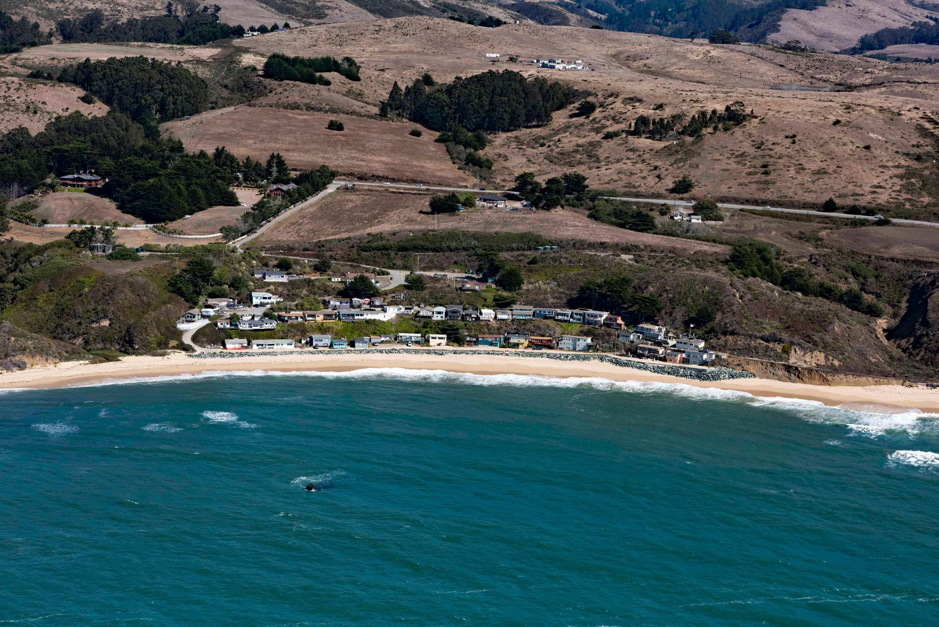
Martins Beach is a public beach adjacent to a private gated community protected from erosion by a seawall, about 6 miles (10 km) south of the community of Half Moon Bay and 0.7 miles (1.1 km) southwest of Lobitos, California. Lobitos means ‘little wolves’ in Spanish and reputedly refers to sea otters. The historical community is now a small group of private residences just east of Highway 1. In 1838, a Mexican land grant of 8,905 acres (3,604 ha) known as Rancho Canada de Verde y Arroyo de la Purisima was given by Governor Juan B. Alvarado to José Maria Alviso, who subsequently conveyed that interest to his brother, José Antonio Alviso. The grant extended along the Pacific coast from Purisima Creek in the north to Tunitas Creek in the south and encompasses the present-day village of Lobitos and the ghost town Purissima.
In 1848, the Treaty of Guadalupe Hidalgo formally ended the Mexican-American war and resulted in Mexico ceding a region of the southwest, including Alta California, to the United States. In 1852, José Antonio Alviso filed a claim as required by the Land Act of 1851, and Rancho Cañada de Verde y Arroyo de la Purísima was legally conveyed. In the early 1850s, Nicholas Martin came to California from New York and purchased land on the coast south of Half Moon Bay from the Alviso family. In addition to owning the beach, his primary source of income was farming. In 1872, Martin was involved with the development of a lumber chute, a huge wooden slide with an angle of 45 degrees, designed to move bulk cargo from an elevation of 150 feet (46 m) at the top of the coastal bluff to ships moored below. The chute was 350 feet (107 m) long and supported by high scaffolding built on offshore rocks. The chute was named for lumberman Alexander Gordon and was used by farmers to ship their produce to market without having to drive heavy wagons over the coastal mountains to Redwood City or San Mateo.
Since the early 1900s, the land was owned by the Deeney family who allowed the public free access to the beach. In the early 1920s, the Deeneys leased the beach to the Watts family who managed visitor amenities and allowed free use of the beach in exchange for paid parking. The beach became a popular location for families and surfers. In 2008, Martins Beach and the adjacent property between the beach and the highway were purchased and public access was blocked. This subsequently became the center of a legal dispute over public beach access which is a provision of the California State Constitution, resulting in legal challenges, popular resentment, and extensive press coverage. In 2014, a legal ruling concluded that the property is not subject to aspects of the California Constitution because it was originally a land grant that predated the State, and therefore, subject to terms in the Treaty of Guadalupe Hidalgo. But in 2017, an appeals court ruled that public access could not be restricted to the beach without first obtaining a permit from the California Coastal Commission. Read more here and here. Explore more of Martins Beach and Half Moon Bay here:

