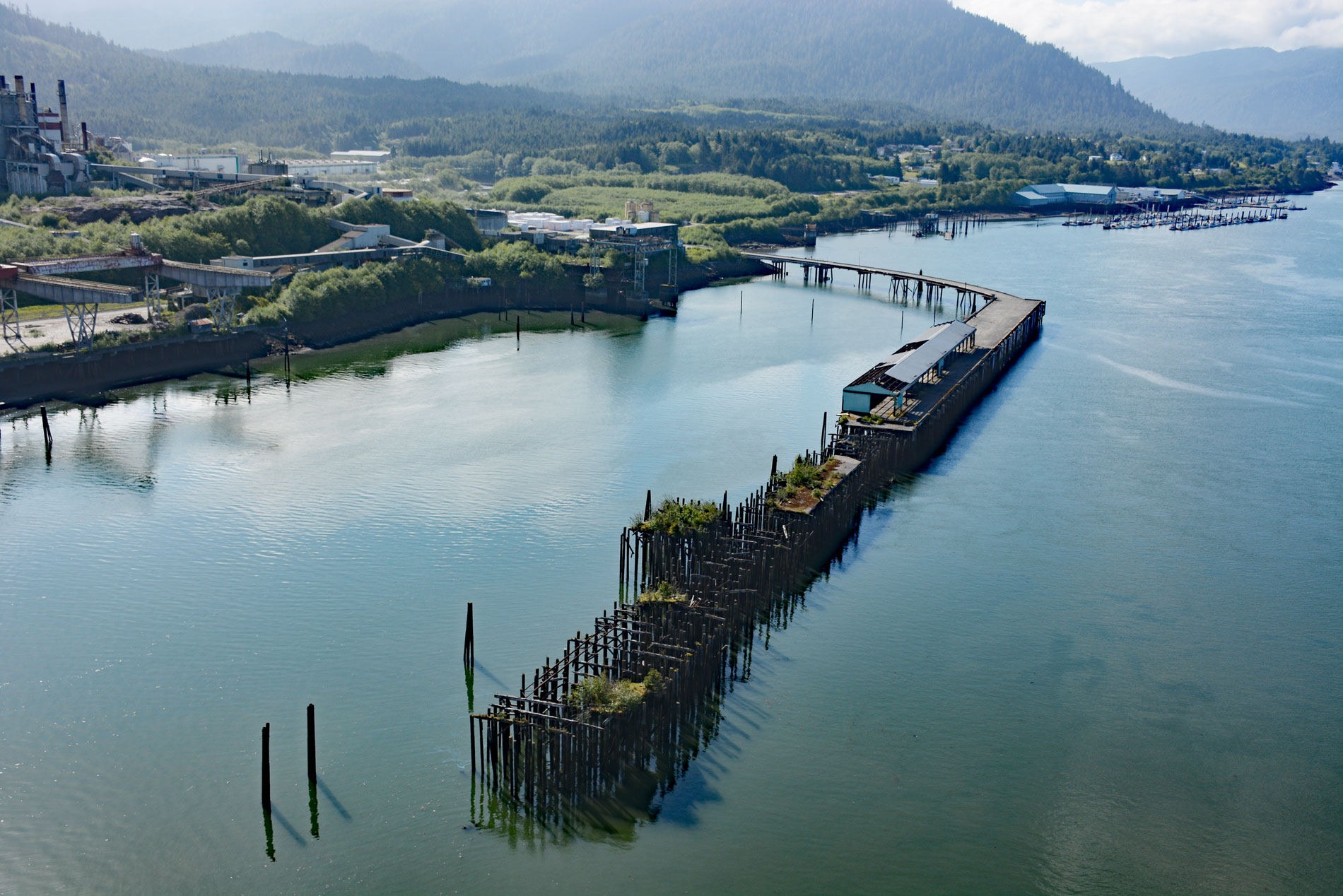
Port Edward is a community located on the eastern shore of Porpoise Harbour on the Tsimpsean Peninsula near the mouth of the Skeena River, about 98 miles (158 km) southeast of Ketchikan and 9 miles (15 km) south of Prince Rupert, British Columbia. The town site was laid out in 1908 when the Grand Trunk Railway expanded to the North Coast of British Columbia and it was officially named in 1946 after King Edward VII. The western Canadian Cordillera is a collage of terranes that were accreted to the western margin of North America mostly during the Cretaceous period. The metasedimentary rocks forming the western edge of the Tsimpsean Peninsula represent a geologically complex shear zone between the Alexander terrane to the west and the Nisling terrane to the east. Porpoise Harbour opens to Chatham Sound, and both were covered by ice during the last glaciation resulting in a typical fjord coastline. At the time of Quaternary deglaciation, about 12,700 years ago, sea level was about 160 feet (50 m) higher than today, after which it dropped to its present position about 8,000 years ago. Chatham Sound is somewhat sheltered from the open north Pacific Ocean by large islands and channels, and is considered to be a large estuary supplied with freshwater from the Nass and Skeena rivers and saltwater entering from Dixon Entrance and Hecate Strait.
The Tsimpsean Peninsula is the traditional territory of the Tsimshian people. Archaeological excavations on the coast of the peninsula have unearthed the remains of cedar plank house villages that date to 5,000 years ago. The houses were lined up parallel to the beach and were considerably smaller than those of later times and village shell middens indicate a slow rate of growth. About 3,500 years ago, a larger population was reflected in rapid midden build-up, larger village sites, and the construction of larger houses. Village settlement patterns also show evidence of a hierarchical social structure, with the house of the highest-ranking chief standing in the center of the beach and the houses of lesser lineage chiefs extending out in both directions in descending order of matrilineal rank. After the arrival of European traders in the 1780s, trade goods were introduced, but they had little effect on the Tsimshian lifestyle. In 1834, the Hudson’s Bay Company built a fur trading post about 20 miles (32 km) to the north at present-day Port Simpson. Around this time the Tsimshian abandoned their winter villages around the mouth of the Skeena River and resettled near the trading post.
The first fish cannery was built at the mouth of the Skeena River in 1889 and eventually Port Edward became a major fish canning center. The Nelson family moved to the area in 1909 from Tromso, Norway, and within the decade they were fully immersed in the fishing industry. Nelson Brothers Fisheries Ltd. pioneered remote fishing and fish packing on the coast and Port Edward become the largest fish processing area on the north coast of British Columbia. In 1908, the Grand Trunk Railway bypassed Port Edward when Prince Rupert was chosen as the preferred harbor. But Prince Rupert presented expensive construction issues owing to the steep topography and bathymetry. Railway yards required the blasting of level ground out of solid rock and steamship wharves had to be built parallel to the shore since the water was too deep for ordinary pilings. Port Edward had more suitable land for industrial use and land speculators purchased large blocks of waterfront for future development. During World War II, Port Edward was used as a staging area for supplies and troops supporting the Aleutian Islands Campaign. An estimated 73,000 people passed through Port Edward and Prince Rupert between 1942 and 1945, and 100,000 tons of high-explosive ammunition were transported. After World War II, the community declined and the canneries gradually closed, with the last shutting down in 1983. Port Edward is now mainly a bedroom community of Prince Rupert but has attracted some fish processing and aquaculture development. Read more here and here. Explore more of Port Edward and Porpoise Harbour here:

