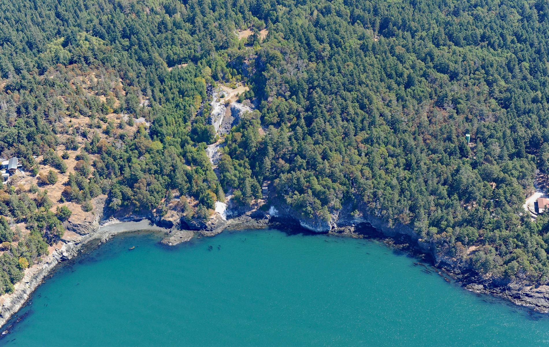
Lime Kiln Point is a state park of 42 acres (17 ha) and the site of a historic limestone quarry and kiln on the western shore of San Juan Island, about 6 miles (10 km) south of Roche Harbor and 6 miles (10 km) west of Friday Harbor, Washington. The name ‘San Juan’ was given to the islands by the Spanish explorer Francisco de Eliza, who explored and charted parts of the Salish Sea in 1791. The point is named after the lime kilns built in the 1860s to produce mortar and plaster from limestone. There are 428 islands exposed at high tide within San Juan County of which approximately 175 are named. The three largest islands are Orcas with 36,432 acres (14,744 ha), San Juan with 35,448 acres (14,345 ha) and Lopez with 18,847 acres (7,627 ha). The islands are formed by various bedrock formations that were scoured and eroded by glaciers during the Pleistocene. The rock formation at Lime Kiln Point is called the Deadman Bay Volcanics which is dominated by pillow basalt, breccia, and tuff with interbedded limestone. It is not certain how this juxtaposition occurred, but the limestones may have been drawn into the basalt by high velocity turbidity currents, or by churning as the lavas flowed across carbonate sediment accumulations. The limestones were converted to aragonite by high-pressure metamorphism during the Late Cretaceous, or about 100 million years ago.
The San Juan Island archipelago has an archaeological record of human habitation dating from at least 14,000 years ago to the present. Artifacts and human remains suggest the existence of established villages by 9,000 years ago. Historically, Coast Salish peoples lived in permanent villages during the winter that consisted of plank houses made of western red cedar. Families undertook a seasonal rotation of hunting and gathering activities on San Juan Island. In the spring, women harvested and prepared camas bulbs that were sometimes cultivated as an important food source. Men repaired fishing nets and made hooks for fishing halibut, rockfish, lingcod, and other species. In late spring deer were hunted, sometimes using nets, and then clubbed or speared. In early summer families moved to fishing camps to take advantage of the immense salmon runs and used reef nets especially along the southwest side of San Juan Island. The islands are part of the overlapping traditional territories of several Coast Salish people including the Nooksack, Lummi, Klallam, Saanich, Samish, and Songhees. European explorers and traders arrived in the 18th century, and in the 19th century, the Hudson’s Bay Company established trading posts such as Fort Langley in Halkomelem territory and Fort Victoria in Lekwungan territory. The traditional lifestyle of the Coast Salish was permanently disrupted in the late 19th century by an influx of gold miners and homesteaders that displaced the tribes and introduced diseases.
From 1860 until the 1920s, San Juan County was the principal lime-producing area in the state of Washington. Small industrial kilns were built near a source of limestone and readily accessible coal or wood for firing the kilns, and close to a deep-water landing for vessel such as at Lime Kiln Point. The process of heating limestone to produce lime has been used since early civilizations. The San Juan Islands were ideal for the manufacture and transport of lime. Large deposits of high-quality limestone were located near the shoreline with good deep-water harbors protected from prevailing winds. The limestone was quarried and shunted downhill by gravity and fed into the top of the kilns. The kilns were fired with abundant high-temperature-producing old-growth Douglas fir. The lime was drawn out from the bottom of the kilns, packed in barrels, and the final product was transferred to warehouses built on or close to wharves. Fleets of ships, both sail and steam, regularly transported the lime to the cities in southern Puget Sound, where it was in demand as a building-construction material and as an important ingredient for several growing regional industries, including smelting and papermaking. Read more here and here. Explore more of Lime Kiln Point and San Juan Island here:

