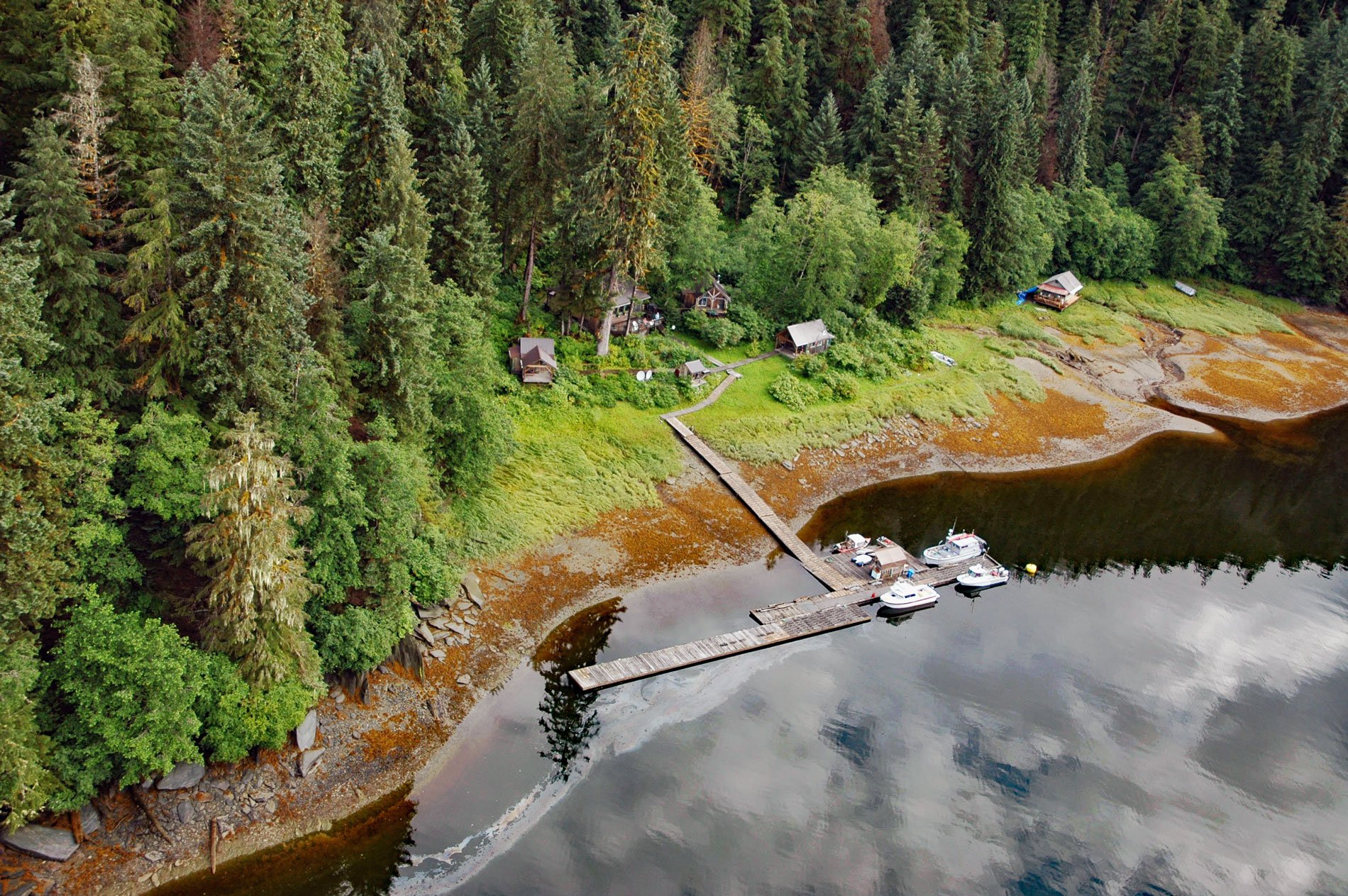
Windham is a settlement that historically supported mining operations along Spruce Creek at the head of Windham Bay, about 63 miles (102 km) southeast of Juneau and 57 miles (92 km) north-northwest of Petersburg, Alaska. Windham Bay was named after Point Windham located at the bay entrance on the eastern shore of Stephens Passage. The point was discovered by Lieutenant Joseph Whidbey in 1794 and named by Captain George Vancouver probably for William Windham who served as the Secretary of War for England at that time. Spruce Creek starts from a snow field on the northeast flank of Peak 4330 and flows generally west for 3.5 miles (5.6 km) to the head of Windham Bay. The bay is about 8 miles (13 km) long and 1.5 miles (2.4 km) wide at the entrance and narrows rapidly to a channel about 700 feet (213 m) wide that connects with a deep inner basin that heads at an extensive tide flat and salt marsh formed by Spruce Creek. The creek headwaters are formed by sedimentary rocks and minor volcanic rocks that developed from the Permian to the Cretaceous time and was then metamorphosed by a magma intrusion represented today by the Coast plutonic complex. The bedrock at the headwaters of Spruce Creek is the same band of gold-bearing schist and shale exposed on the south side of Endicott Arm at Sanford Cove.
The eastern shore of Stephens Passage south of Holkham Bay is the traditional territory of the Tlingit Kéex’ Kwáan who now inhabit the village of Kake on Kupreanof Island. The Kake tribe historically controlled the trade routes around Kuiu and Kupreanof islands and defended their territory against other tribal groups in the region. The Russian-American Company built a trading post at Sitka in 1799 and again in 1804 and the Kake people were subsequently visited by maritime fur traders seeking sea otter skins. Gold was known in this region in the days of Russian ownership of Alaska but no mining occurred until after the Alaska Purchase in 1867 when prospectors who had been disappointed in the Cassiar gold district in British Columbia discovered gold placers at Windham Bay and Powers Creek. Between 1870 and 1871 the first gold produced in Alaska was extracted from these placers. In 1888, the first extensive developments were made by the Spruce Creek Mining Company that obtained possession of the two lower basins of Spruce Creek. The company built a hydraulic pipeline to bring water from higher elevations of the creek to sluice the gravel in the stream bed but after two years with limited success the operation was stopped. In 1900, the Windham Bay Gold Mining Company was formed to develop gold-bearing ore in ledges located 0.75 miles (1.2 km) from the bay on the south slopes of Spruce Creek. This prospect consisted of nine claims known as the Red Wing group and the ore body was a series of quartz veins in slate. In 1906, the mining camp of Windham consisted of a dozen houses built along the waterfront on the north side of the inner bay.
Chuck River flows into the inner basin of Windham Bay from the south and forms a gravel filled valley over a flat 1 mile (1.6 km) wide and 14 miles (23 km) long. The gravel bed has an average depth of 5 feet (1.5 m) and was hydraulically sluiced from the historic Chuck Mining Camp until the 1920s. About 8 miles (13 km) up the valley at an elevation of 600 feet (183 m) the Golden River Mining Company located another group of claims. Several miners were employed during the summer of 1903 to drive a tunnel 300 feet (91 m) long to divert the river and leave the gravel bed accessible for sluicing. Work continued during 1904 and 1905 but was never profitable. In 1990, the Chuck River Wilderness was established in Tongass National Forest by the U.S. Congress and covers an area of 74,506 acres (30,152 ha) to protect the old growth forest and the Chuck River riparian habitat which is a major producer of pink salmon. Black bears, wolves and mountain goats are known to live in the forested mountains. This small wilderness area is adjacent to the Tracy Arm Fords Terror Wilderness. Read more here and here. Explore more of Windham and Windham Bay here:

