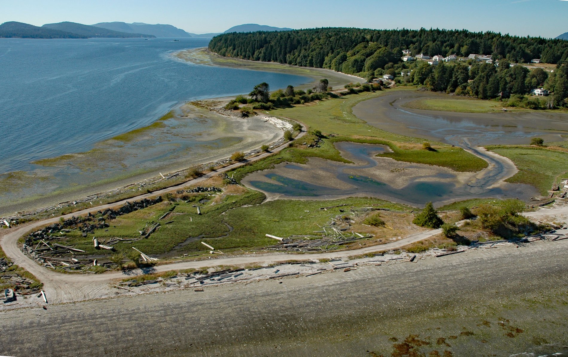
Penelakut Island is located in the southern Gulf Islands between Vancouver Island and the mainland, about 40 miles (65 km) north-northwest of Victoria and 32 miles (52 km) southwest of Vancouver, British Columbia. The island was formerly known as Kuper Island and was renamed in 2010 in honor of the Penelakut First Nation people. The island has an area of 86,506 acres (865 ha) and is separated from Thetis Island at Telegraph Harbour by a tide flat.
In 1851, Captain Augustus Leopold Kuper of the Royal Navy, in command of HMS Thetis, a 36-gun frigate, cruised into a group of five islands in the Strait of Georgia, and declaring the colonial name of the two largest islands to be Kuper and Thetis. Kuper continued to survey the island from 1851–53 while based out of the Pacific Station at Esquimalt. In 1861, about 300 warriors from the Bella Bella staged a surprise attack and reputedly massacred about 225 Penelakuts. Two years later, on April 20, 1863, the British gunboat HMS Forward attacked the Penelakut village for harboring individuals of the Lamalchi tribe involved in killing three Europeans. The gunboat fired on the village but later withdrew with one casualty. Following the event, the colonial government responded with a large military assault, subsequently gaining control of the region.
Penelakut was the location of the Kuper Island Indian Residential School, part of the Canadian Indian residential school system. The school system was created to remove Indigenous children from the influence of their own culture and assimilate them into the dominant British-Canadian culture. The Kuper Island school opened in 1889 operated by the Roman Catholic Church, with funding from the Canadian Department of Indian Affairs. The school provided mandatory education to children from the Cowichan Indian Agency and the adjacent Coast Salish. Students set fire to the school in 1896 when holidays were canceled. A survey carried out in that year showed that of 264 former students 107 had died. The main killer was tuberculosis. Given their cramped conditions and negligent health practices, residential schools were hotbeds for the spread of diseases. The federal government took over the administration of the school in 1969 and closed it in 1975. Read more here and here. Explore more of Penelakut Island here.

