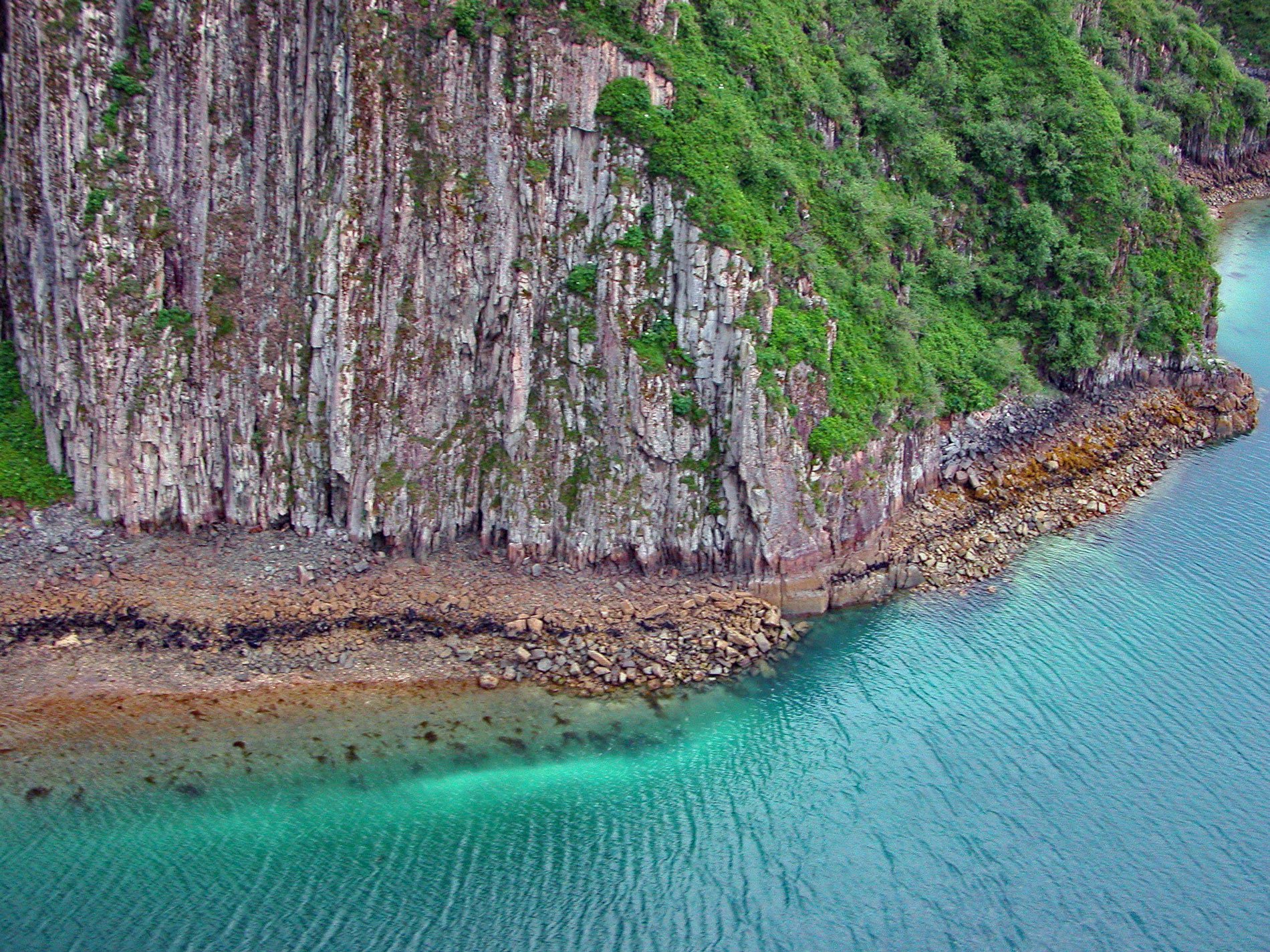
Geographic Harbor is in Katmai National Park and Preserve and is formed by two large bays that extend 3 miles (5 km) off Amalik Bay on Shelikof Strait, about 86 miles (139 km) southwest of King Salmon and 83 miles (134 km) northwest of Kodiak, Alaska. The harbor was named in 1919 by Robert F. Griggs for the National Geographic Society.
Robert Griggs was a botanist who led a series of five expeditions sponsored by the National Geographic Society to observe the aftermath of the 1912 Katmai (Novarupta) volcanic eruption. In June 1915, Griggs and a team of scientists rushed to the Katmai coast with the express goal of exploring the Valley of Ten Thousand Smokes. They worked their way up through the ash-filled Katmai River valley and over Katmai Pass. Through the long Alaska summer days, they took samples, photographs, and made rough maps.
Afterward, Griggs and the chiefs of the National Geographic Society campaigned persistently to preserve the area, and in 1918, President Woodrow Wilson declared 1,700 square miles (440,000 ha) of land as Katmai National Monument. Learn more here and here. Explore more of Geographic Harbor and Katmai National Park here:

