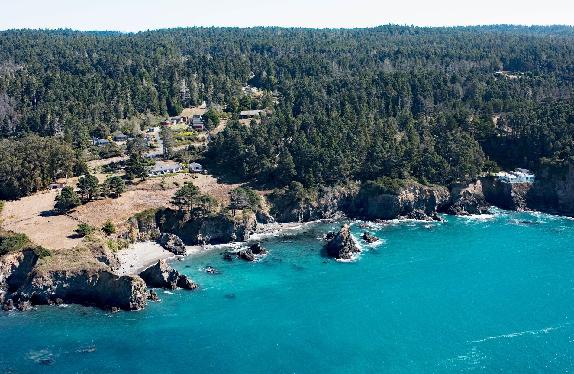
The Little River Punchbowl is a littoral sinkhole forming a large open pit surrounded by forest near Little River, about 3.3 miles (5.3 km) northwest of Albion and 2.7 miles (4.4 km) south-southeast of Mendocino, California. The sinkhole was formed by the collapse of a sea cave. A sea cave is formed primarily by erosion from wave action.
Erosion is an ongoing process anywhere that waves dissipate energy on coasts, but rock is removed at a greater rate where the host rock has cracks or fissures. Waves can exert tremendous force within a confined space by hydraulic action, and by any waterborne rock particles, as well as by compressed air. Most of the large sea caves on the western U.S. coast form in basalt, a strong igneous rock compared to more friable sedimentary rock. Basaltic caves can penetrate far into cliffs where most of the surface erodes relatively slowly. The sea cave at Little River formed in sedimentary rock that eventually eroded a very large chamber not capable of supporting the weight of the roof and the rock collapsed forming a sinkhole.
The nearby community of Little River was first settled between 1852 and 1856 and was known as Beall’s Harbor. A lumber mill was built which stimulated the development of a town. This coastal mill town grew with the success of the mill so that eventually a schoolhouse, post house, shipyard, hotels, stores, and blacksmith shops were established. Little River prospered in a similar way to many other towns on the Mendocino Coast until the nearby inland timberlands were depleted. In the case of Little River, the mill closed in 1893. Since that time the town has served mainly as a tourist destination for local beaches and Van Damme State Park. Read more here and here. Explore more of Little River here:

