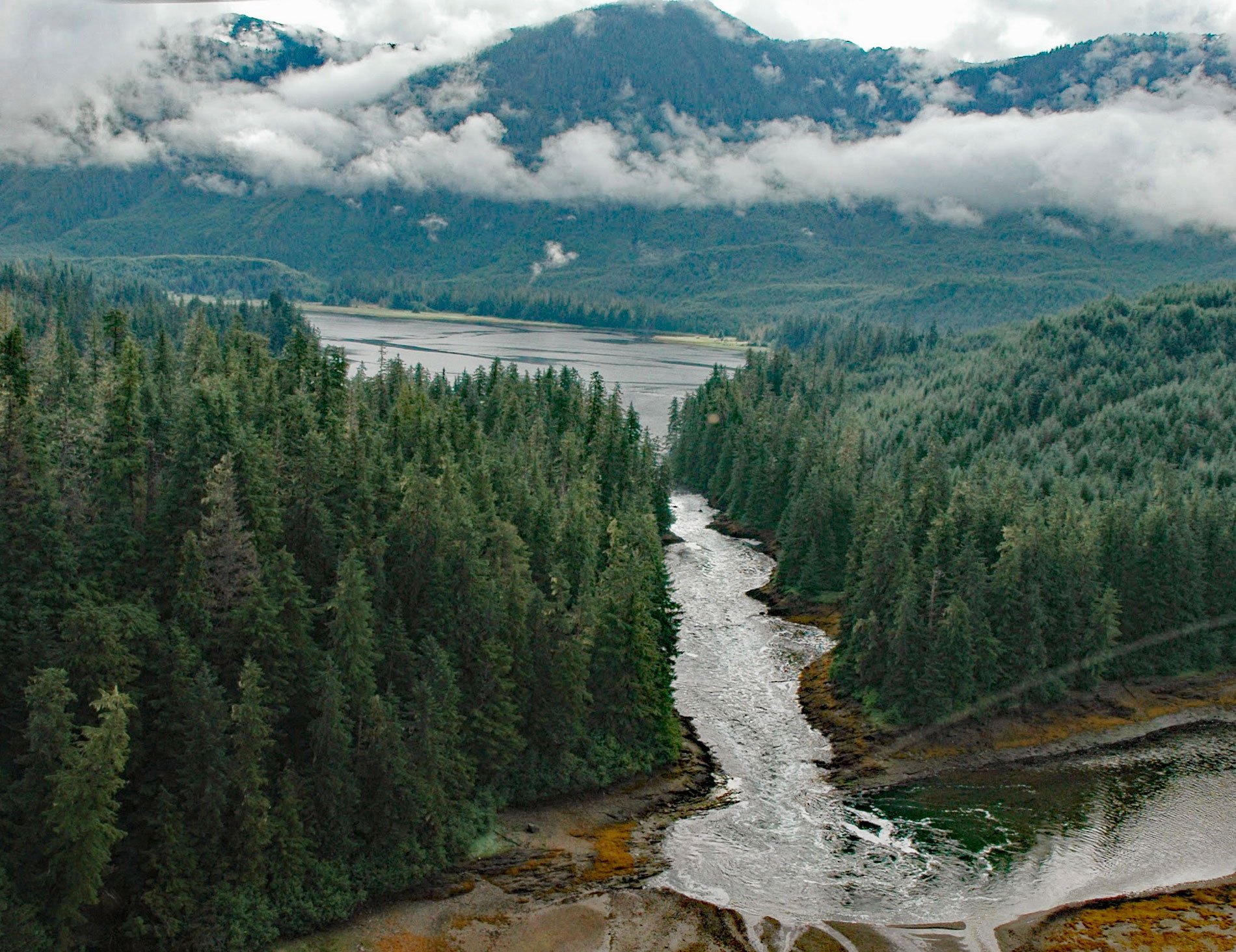
The Salt Chuck is a lagoon at the head of Hobart Bay on the eastern shore of Stephens Passage, about 71 miles (115 km) southeast of Juneau and 46 miles (74 km) north-northwest of Petersburg, Alaska. The bay was named in 1889 by Lieutenant Commander H. B. Mansfield of the U.S. Navy after Point Hobart about 1 mile (1.6 km) to the south. Point Hobart was named by Captain George Vancouver for John Hobart, the Second Earl of Buckingham, England. Hobart Bay was first settled as a logging camp in 1889.
The Salt Chuck is a local name published in 1943 by U.S. Coast and Geodetic Survey. A “chuck” is a Chinook jargon word meaning “water”. According to E.L. Keithahn of the Alaska Historical Library and Museum, this word is usually applied to “a salt lake that fills at high tide, sometimes with a bore, and empties or partly empties at low tide with a reverse bore or sometimes rapids”. A strong or dangerous chuck is sometimes called a skookum chuck, where skookum means strong.
Hobart Bay was a logging camp operated by Goldbelt, a Juneau-based corporation whose shareholders consist of Alaska Natives of Tlingit and Haida descent. Goldbelt owns approximately 30,000 acres (12,140 ha) of land in and around Hobart Bay. Logging ended in 1999, and the area is now actively managed for regrowth of spruce and hemlock trees. The introduction of bark and wood debris into the water around log transfer facilities has been a concern in Hobart Bay and was monitored to study the effects on the marine ecosystem. The primary physical impact of bark and wood debris is deposition and accumulation on the seafloor potentially creating anoxic or hypoxic conditions. Read more here and here. Explore more of Hobart Bay and The Salt Chuck here:

