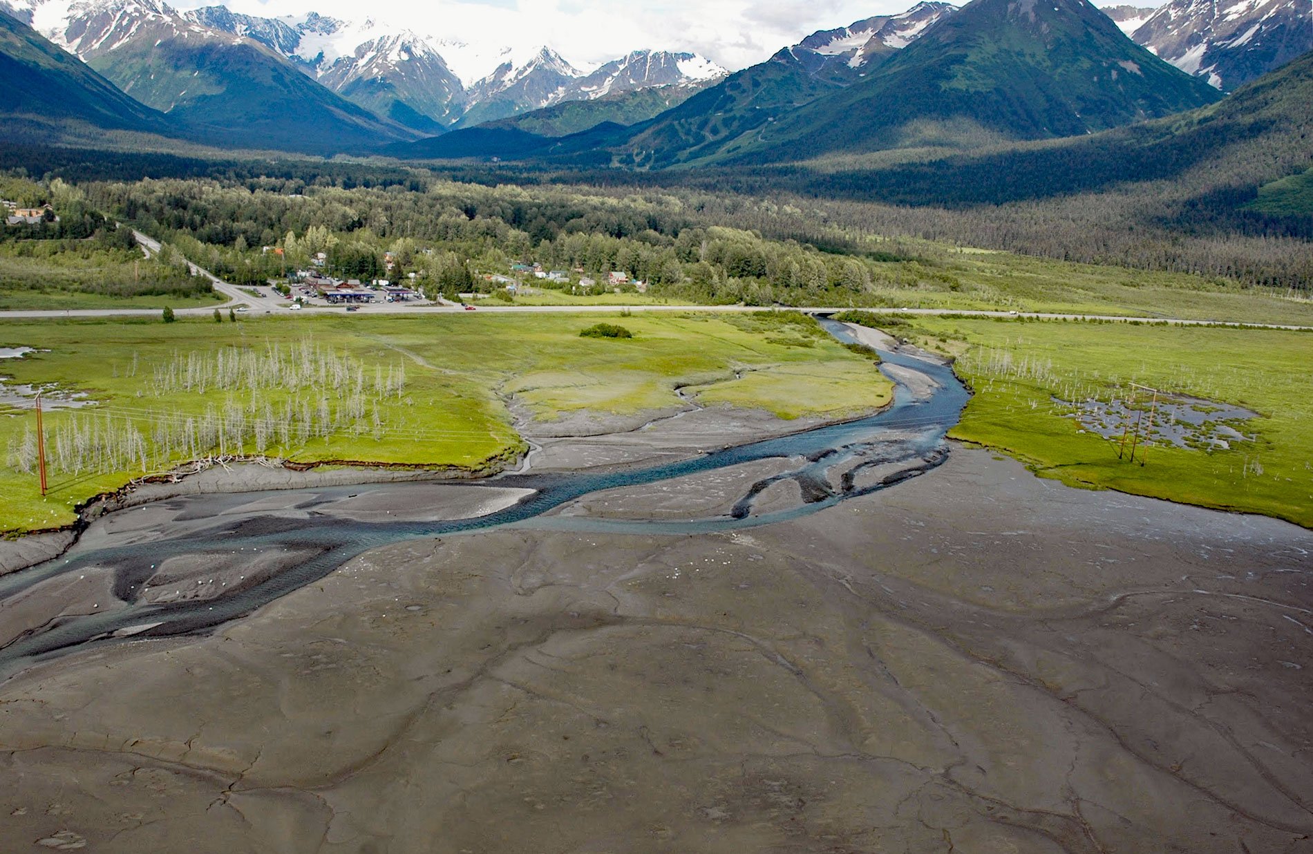
Glacier Creek starts from an unnamed glacier on the south flank of Goat Mountain in the Chugach Mountains and flows southwest for 10 miles (16 km) to Turnagain Arm near Girdwood, about 31 miles (50 km) southeast of Anchorage and 20 miles (32 km) northwest of Whittier, Alaska. The local name was reported in 1898 by Walter Curran Mendenhall of the U.S. Geological Survey. Major tributaries of Glacier Creek include Crow Creek from the north, Winner Creek from the south, and California Creek that joins about 2 miles (3.2 km) from the river mouth.
The community of Girdwood was originally called “Glacier City”, and was founded as a supply camp for placer gold miners with claims along the creeks feeding Turnagain Arm. It was renamed for Colonel James Girdwood, a Belfast-born, Scots-Irish entrepreneur and linen merchant who staked the first four gold claims along Crow Creek in 1896. In 1915, railroad construction from Seward to Anchorage further developed the town and by 1917, Girdwood had about 60 permanent residents. The mines closed in the late 1930s and Girdwood became a ghost town until 1949 when construction began on the Seward Highway.
In 1954, the Alyeska Ski Corporation was formed with a lift and a small lodge built in 1959. The Good Friday Earthquake of 1964 caused the Girdwood townsite to subside below the high tide line of Turnagain Arm, and the town was subsequently moved 2.5 miles (4 km) up Glacier Creek to the present location. In 1975, Girdwood became part of the Municipality of Anchorage. The local economy was mostly based on seasonally-occupied vacation homes and skiing at the resort. In the 1990s, the Alyeska Prince Hotel was built and the valley has since shifted towards a year-round resort economy. Read more here and here. Explore more of Glacier Creek here:

