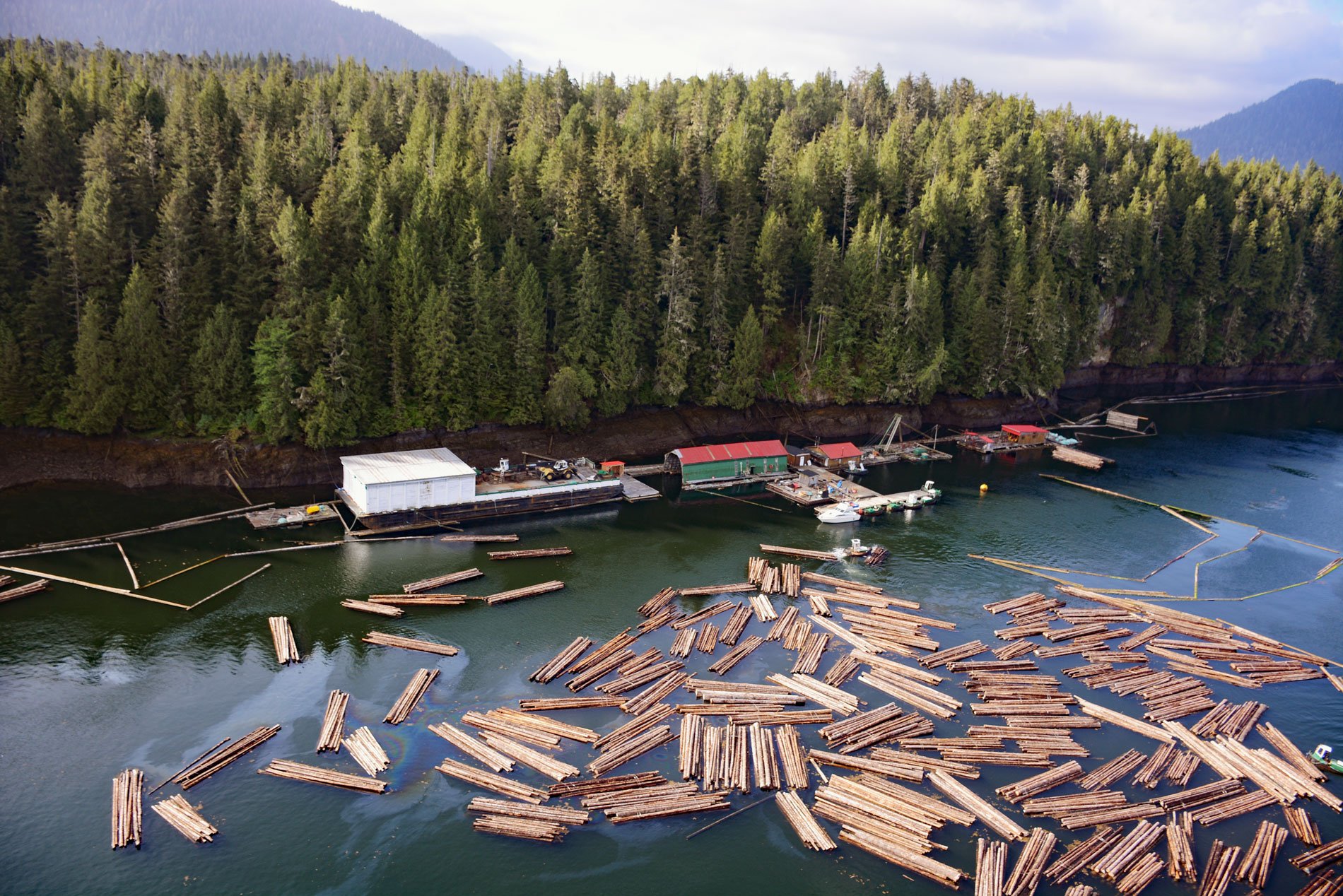
Tuck Inlet is a fjord with a depth of 260 feet (80 m) and a shallow sill of 34 feet (10.5 m) at the entrance, which is part of Prince Rupert Harbour, about 91 miles (147 km) southeast of Ketchikan and on the waterfront of Prince Rupert, British Columbia. The immense Prince Rupert Harbour is an industrial port operated by the Prince Rupert Port Authority and consists of a complex of deepwater basins and channel waterways separated by shallow sills.
The Port of Prince Rupert was built after the completion of the Grand Trunk Pacific Railway in 1914, and its development was promoted as an alternative to the Port of Vancouver, which was serviced by competing railroad companies such as Canadian Pacific and Canadian Northern railways. In 1919, the Grand Trunk Pacific fell into bankruptcy and was nationalized by the federal government and merged into the Canadian National Railways. The port was expanded during World War II to support Canadian and the United States military action in the Pacific Theatre, notably in the Alaska Territory.
In 2011, British Columbia exported over 5 million cubic meters of logs to China, Japan, Korea, and the United States. These log exports represent a relatively small percentage of the total British Columbia harvest, but a large percentage of the coastal harvest, where most logs for export originate. Over the past decade, China has become the largest foreign buyer of Britsh Columbia logs. Despite the demand for logs on foreign markets, log exports are restricted by the provincial and federal governments. In most cases, to export a log from the coastal region, the producer must secure a federal export permit if the area logged is under federal jurisdiction or both federal and provincial permits if under provincial jurisdiction. To obtain a permit, a log must be harvested and then offered first to domestic buyers on the Vancouver Log Market. The provincial government also imposes additional prohibitions on the export of certain species like red cedar. Read more here and here. Explore more of Tuck Inlet here:

