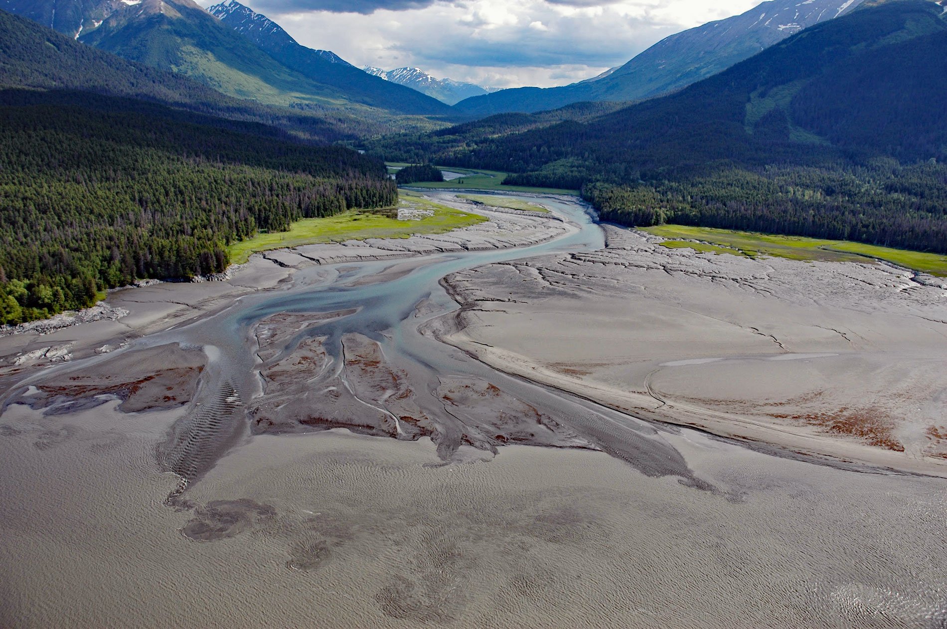
Sixmile Creek flows north for 8 miles (13 km) to the historical community of Sunrise on Turnagain Arm, about 27 miles (44 km) southeast of Anchorage and 9 miles (15 km) southwest of Girdwood, Alaska. The watershed starts as Granite Creek which flows from the top of Turnagain Pass along the Seward Highway. Bench Creek and Center Creek join Granite Creek to become East Fork Sixmile Creek. At the confluence with Canyon Creek, it becomes Sixmile Creek which flows into Turnagain Arm.
In the early 1900s, Sixmile Creek was mined for gold and still has many active mining claims. Whitewater enthusiasts have been enjoying this scenic gorge for about 20 years with commercial operations starting in the 1980s under special use permits with the Chugach National Forest. Sixmile Creek is unregulated so water levels can change quickly from a somewhat peaceful creek to a raging Class V river.
The community of Sunrise is on the west side and near the mouth of Sixmile Creek where the valley is bracketed by mountain peaks exceeding 4,000 feet (1,220 m). Sunrise was established in 1895 and grew rapidly as a supply center for miners participating in the gold rush along Turnagain Arm in the late 1890s. It was briefly the largest city in the new U.S. Alaska Territory. In 1898, the community had a summertime population of 800, with several general stores, saloons, and a restaurant and hotel. The city declined after 1900, with miners drawn to richer goldfields elsewhere in Alaska. Many of its buildings burned in the following years, and the last store closed in 1939. Remnants of the town on either side of Sixmile Creek have been designated an archaeological historic district. Read more here and here. Explore more of Sixmile Creek and Turnagain Arm here:

