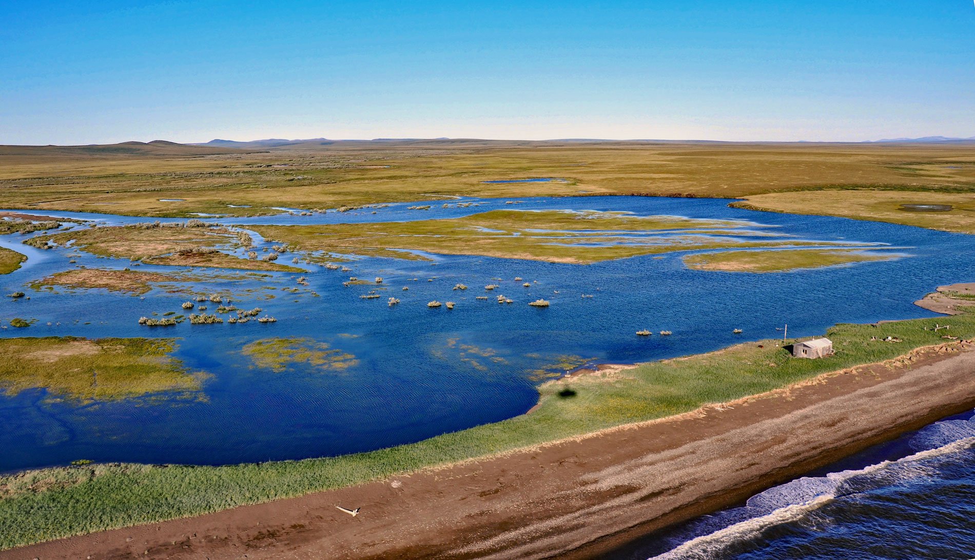
Rabbit Creek starts in the Mulgrave Hills and flows southwest for 23 miles (37 km) through the File Mountains, also known as the Tahinichok Mountains, to the Chukchi Sea at the southern end of Imik Lagoon in Cape Krusenstern National Monument, about 96 miles (155 km) southeast of Point Hope and 53 miles (85 km) northwest of Kotzebue, Alaska. The creek name is a translation of the Iñupiaq word ‘Ukalliqsuq’ which refers to the arctic hares that inhabit the upper watershed. The creek is a spawning stream for Dolly Varden trout and occasional limited spawning of both chum and coho salmon. The creek is also the source of chert which may have been used to make tools found in nearby archaeological sites. A lagoon forms here seasonally when the barrier beach blocks the river mouth.
Northwestern Alaska coastal lagoons vary in their exchange with the waters of Kotzebue Sound and the Chukchi Sea. Some like Kivalina Lagoon are open year-round, others are intermittently open like Imik Lagoon and the lagoon that forms at the mouth of Rabbit Creek, and a few are closed like Krusenstern Lagoon. Even for lagoons that are closed or intermittently open, strong westerly winds that occur often in the summer and early winter will cause seawater to surge into all of the coastal lagoons. The salinity-temperature relationship in each lagoon varies throughout the year, and particularly in the winter, may keep the lagoons from freezing to the bottom. This is important because it allows for salt-tolerant species to overwinter.
The coastal lagoons of northwestern Alaska provide essential habitat for humpback whitefish, as well as for birds and mammals that are important subsistence foods for Iñupiaq families. Some populations of humpback whitefish are anadromous which means it spends part of its life in the ocean and part of its life in fresh water. Juvenile humpback whitefish are known to rear in coastal lagoons and near river mouths. Adults can migrate long distances upriver for spawning. Several historical cabins near the lagoons still provide seasonal shelter for families engaged in fishing and hunting. In the early 20th century, the Kotzebue to Point Barrow winter mail trail was flagged by the Alaska Road Commission and often followed barrier beaches along the coast. Cabins were built along the trail to provide dog sled teams with shelter and in some cases fresh dogs and several cabins remain. Read more here and here. Explore more of Rabbit Creek and Imik Lagoon here:

