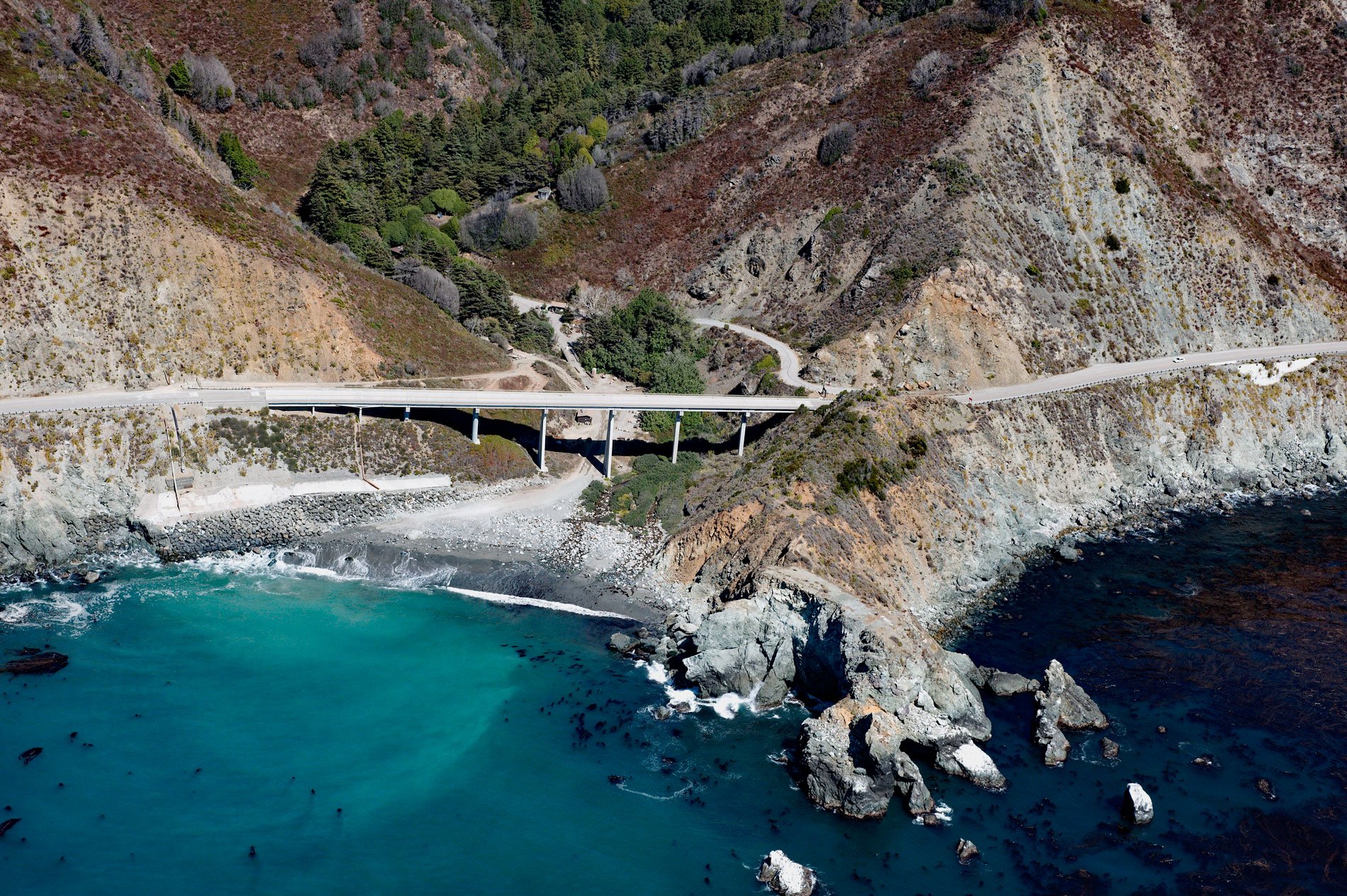
Limekiln State Park is 716 acres (290 ha) on the Big Sur coast at Rockland Landing, about 31 miles (50 km) northwest of San Simeon and 2 miles (3.2 km) south of Lucia, California. The park was established in 1994 and includes the ruins of four historic limekilns, Limekiln Creek and Hare Canyon Creek, an ancient redwood forest, and Limekiln Falls to that drops 100 feet (30 m). Limekiln Creek starts on the southern flank of Cone Peak, the second highest summit in the Santa Lucia Range with an elevation of 4,137 feet (1,261 m) and flows generally south-southwest for 4 miles (6 km) to a beach at the historic dog-hole port of Rockland Landing. Most of the watershed is underlain by Mesozoic granitic and pre-Cretaceous metamorphic rocks of the Salinian Block that formed as part of the same batholith at the core of the Sierra Nevada Mountains and the Peninsular Ranges of Baja California. The bedrock at Rockland Landing is mostly Franciscan Assemblage represented by greywacke sandstones, limestone, shales, and conglomerates which have experienced low-grade metamorphism.
Archaeological evidence suggests that the ancestors of today’s Salinan, Esselen and Ohlone people inhabited the Big Sur coast for thousands of years, adapting their lifeways to the area’s climatic and environmental changes. Native groups traveled seasonally from the coast to the interior valleys, following the marine and terrestrial resources that sustained them. They gathered fish, shellfish and various grasses and seeds, and hunted small and large game and birds. They traded with other groups for items they could not produce themselves. The arrival of Spanish explorers, Mexican ranchers, and American settlers brought changes that drastically affected the lives of the Indigenous Peoples. Many were conscripted as laborers by the Spanish and taken into the mission system where they struggled with introduced diseases for which they had no immunity. Within a few generations the traditional lands had been taken over by the settlers. At the end of the mission era most of the surviving indigenous population was absorbed by ranches and later employed in agriculture, fishing, and other industries.
From 1887 to 1890, the Rockland Lime and Lumber Company quarried limestone that was smelted in four huge wood-fired kilns. Long exposure to very hot fires extracted lime. The powdered lime was packed into barrels made from local timber. Thousands of barrels of lime were hauled by wagon to Rockland Landing, then attached to an aerial cable and loaded on schooners anchored in the dog-hole port. The lime was a key ingredient in making cement used for constructing buildings in Monterey and San Francisco. After only 3 years, the company had exhausted most of the limestone as well as the redwood used to fire the kilns. Today, Limekiln State Park has a small but popular campground with 31 sites among the redwoods and 11 sites with an ocean view. Easy trails lead to the waterfall, limekilns, and up Hare Creek Canyon. Limekiln Creek Canyon shelters some of the oldest, healthiest, and largest of the remaining southern redwoods. Read more here and here. Explore more of Limekiln State Park and Rockland Landing here:

