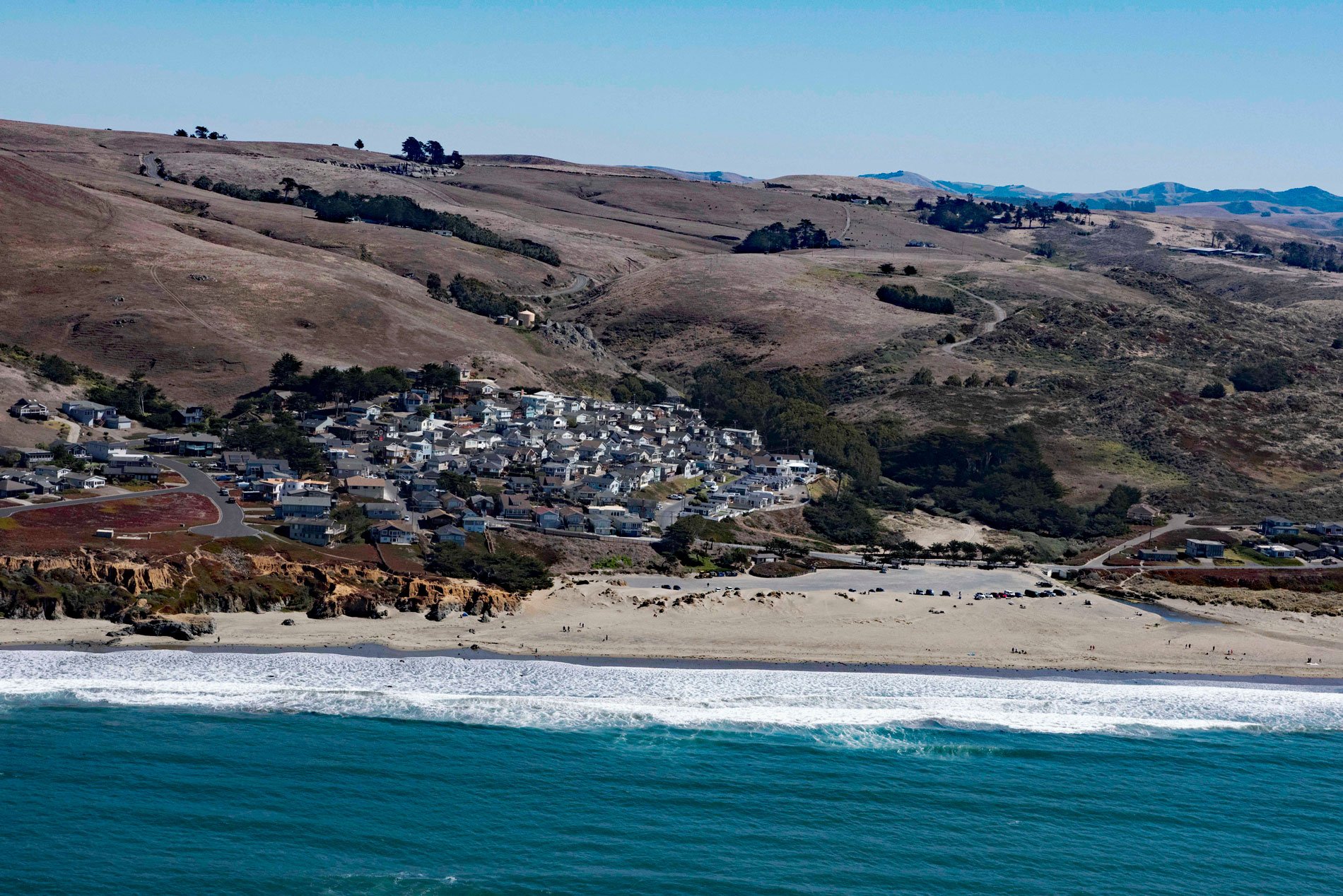
Dillon Beach is a community situated along Dillon Creek that starts at an elevation of 430 feet (131 m) and flows generally west for 1.3 miles (2 km) to Bodega Bay near the mouth of Tomales Bay, about 43 miles (69 km) north-northwest of San Francisco and 7 miles (11 km) south-southeast of the community of Bodega Bay, California. Dillon Beach was named after the founder, George Dillon, who settled in the area in 1868. The community is bordered to the north and east by active agricultural lands, and to the south by coastal dunes. Many of the agricultural holdings, especially to the east and south, are under Williamson Act contracts that promote farmland conservation. The underlying bedrock is primarily comprised of the Franciscan Complex, a mélange of slightly metamorphosed greywacke sandstone, greenstones, and cherts overlain by fine-grained sandstones of the Merced Formation. The Franciscan Complex rocks are heavily sheared and weathered and characterized by low permeability and lacking cohesion so are prone to landslides.
The area around Dillon Beach was occupied in prehistoric times by the Coast Miwok people. The archaeological record suggests they used the area to collect and dry shellfish as evidenced by mortars, pestles, arrowheads, shellfish remains, fire-cracked rock, obsidian, chert flakes, projectile points, beads made of shell and human burials. The first Europeans arrived in 1775 when the Spanish-Peruvian explorer Juan Francisco de la Bodega y Quadra anchored his ship Sonora in the lee of Tomales Point. Bodega y Quadra later sent other expeditions to Bodega Bay with the intention of establishing a colony and mission; however, the location was deemed not ideal. In 1809, the Russian-American Company expanded their Alaska fur trading operations and established warehouses at Bodega Bay, which they called Port Romanzov. The port was used for shipping sea otter furs and produce from the colony at Fort Ross. In 1841, the Russians abandoned Port Romanzov and Fort Ross. In 1844, a Mexican land grant of 26,759 acres (108.29 km2) called Rancho Blucher was given by Governor Manuel Micheltorena to Jean Jacques Vioget. The rancho is named for the Prussian field marshal Gebhard Leberecht von Blücher and extended along the coast from Estero Americano in the north to Estero de San Antonio in the south including all of present-day Dillon Beach.
Following the Mexican-American War and cession of Alta California to the United States, a claim was filed for Rancho Blucher and the land grant was patented to Stephen Smith in 1858. One of the first settlers to arrive was Thomas Stood, although by some accounts it was Thomas Wood. He hired local Miwok workers to gather abalone at Tomales Point which he traded for brandy from passing merchant ships. He also employed the Miwok to harvest grain. Toms Point, immediately south of Dillon Beach, is where he lived with the Miwok in a small village. In 1868, George and Mathilda Dillon arrived and in 1888 built an 11-room hotel, restaurant, and general store at Dillon Beach. In 1903, Dillon sold the property to John Keegan with the agreement that the beach would always be named Dillon Beach. Keegan built vacation cottages and ran a stagecoach between Dillon Beach and Tomales where the North Pacific Coast Railroad made a stop. Keegan sold the holdings to the California Eucalyptus Plantation Company in 1911. Over time, different portions of the business and land were leased or purchased by the Lawson family, and by 1942, they owned and ran the resort. The Pacific Marine Station, a facility of the University of the Pacific, stood between Portola Beach and Lawsons Landing and operated from 1933 until the 1980s. Today, the area includes a public access beach, a private resort, and the only private beach in California. The nearshore and offshore waters are part of the Gulf of the Farallones National Marine Sanctuary. Read more here and here. Explore more of Dillon Beach and Bodega Bay here:

