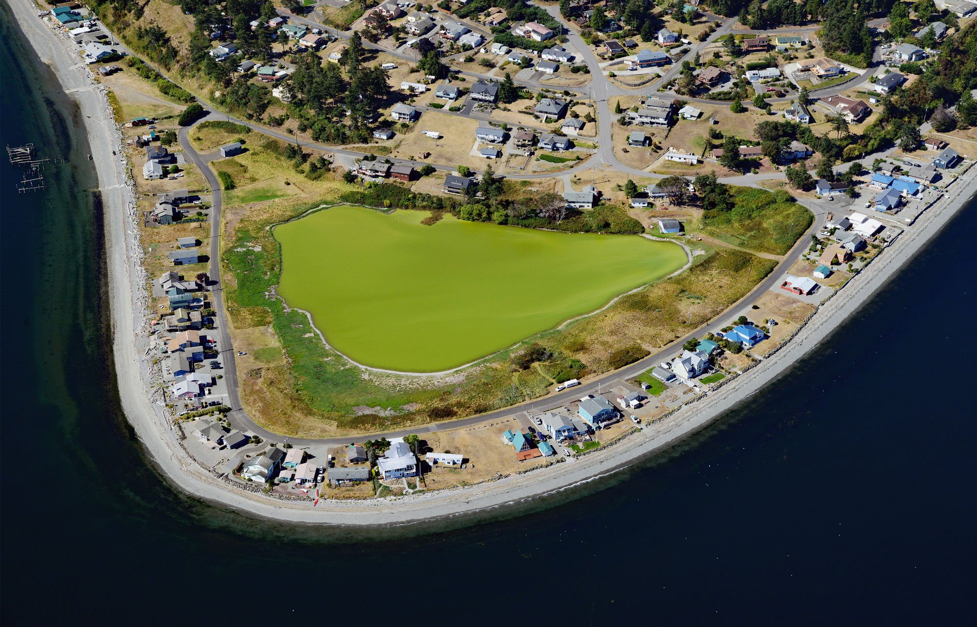
Diamond Point is a community on the northeast tip of the Miller Peninsula which forms part of the Olympic Peninsula on the Strait of Juan de Fuca at the entrance to Discovery Bay, about 44 miles (71 km) northwest of Seattle and 7.5 miles (12 km) west-southwest of Port Townsend, Washington. Discovery Bay was originally named Port Discovery in 1792 by Captain George Vancouver after his ship HMS Discovery. Miller Peninsula is likely named after William W. Miller who was appointed by Governor Isaac Stevens as the Superintendent of Indian Affairs in Washington Territory, and also served as a member of the Washington Territorial Legislature, as quartermaster general for the Territorial Army, and as United States tax collector. Diamond Point was originally named Clallam Point after the S’Klallam Tribe which historically had a village with a stockade at the point. The land was commercially developed for residential property starting in the 1950s and for marketing purposes, the name was changed to Diamond Point. The Miller Peninsula and Diamond Point are formed by alluvium and glacial deposits of sand, silt, and gravel from the retreat of the last continental ice sheet during the Holocene.
Before the arrival of Europeans, the north coast of the Olympic Peninsula between the mouth of the Hoko River to the west and Discovery Bay to the east was the territory of the Klallam people and inhabited specifically by the S’Klallam tribe. The first European explorer to venture to the Pacific Northwest was the Spaniard Juan José Pérez Hernández on the frigate Santiago but they did not enter the Strait of Juan de Fuca or make direct contact with the Klallam. In 1787, Charles W. Barkley, a maritime fur trader on the Imperial Eagle was the first European known to have entered the Strait of Juan de Fuca. In 1789, Robert Gray reached Clallam River near the entrance to the Strait of Juna de Fuca. From 1790 to 1792, the Spanish were based at Nootka Sound on Vancouver Island and made multiple expeditions into the Strait of Juan de Fuca. Manuel Quimper reached Discovery Bay in 1790. In 1791 Francisco de Eliza led a small exploring fleet, which for a time based itself at Discovery Bay. George Vancouver made contact with the Klallam in 1792 and presumed he was the first European to visit them and wrote about trading copper, knives, and minor trade goods.
In 1855, the Klallam, along with the Skokomish and Chimakum peoples, signed the Point No Point Treaty negotiated by Governor Stevens. Under the treaty, the Klallam were to give up their land and move to the Skokomish Reservation, but they never made this move and remained in their territory. In 1874, when, faced with the threat of forced relocation, a group of S’Klallam purchased 210 acres (85 ha) and established a community named ‘Jamestown‘ in honor of village leader James Balch. In the late 1800s, the U.S. government enacted laws to reduce the introduction of infectious diseases such as cholera, yellow fever, leprosy, and smallpox on ships arriving from other countries. By the 1870s, specific procedures were in place, and arriving vessels had to anchor at designated ports of entry and hoist a yellow quarantine flag to request an inspection. The designated port of entry for Puget Sound was Port Townsend. In 1893, Clallam Point became an official quarantine station and all ships entering Puget Sound had to stop for inspection. Ships were fumigated for mosquitos that carried yellow fever, as well as rats that carried plague. In 1933, the facility at Clallam Point was declared unsuitable and a new station was built at Point Hudson, and in 1936, the station was declared surplus and sold to private parties. Today, the point consists of a real estate development called Diamond Point with a private airstrip, and all that remains of the quarantine station are the dock piles, and a few buildings that have been converted to private residences. Read more here and here. Explore more of Diamond Point and Discovery Bay here:

