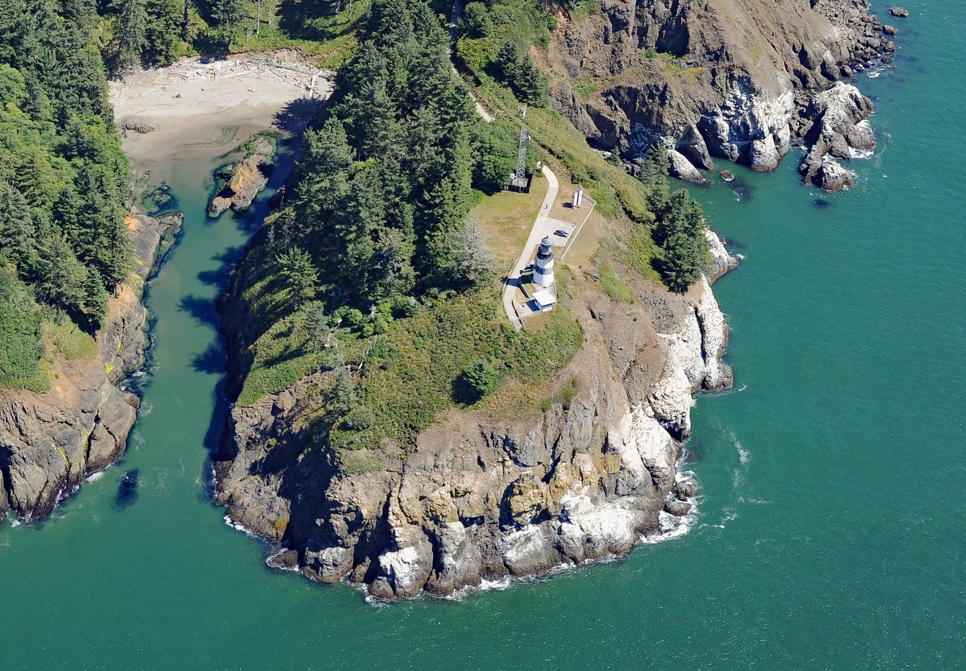
Cape Disappointment is a prominent headland and landmark on the north side of the Columbia River, 12 miles (19 km) northwest of Astoria, and 2.2 miles (3.5 km) south of Ilwaco, Washington. The cape was named on April 12, 1788, by British fur trader John Meares who was sailing south from Nootka in search of trade. After a storm, he turned his ship around just north of the cape and therefore missed the discovery of the Columbia River. The river was discovered on May 11, 1792, by Captain Robert Gray, and named after his ship, the Columbia Rediviva.
Cape Disappointment receives over 2,500 hours of fog a year – the equivalent of over 100 days – making it one of the foggiest places in the United States. The river entrance is notoriously difficult to navigate and before the construction of a lighthouse, three prominent spruce trees growing on the cape’s summit were topped to mark the point and the river entrance. A ship could align the three trees from 5 miles (8 km) offshore, then head for the southerly tip of the cape to navigate through the deepest part of the river channel.
The Cape Disappointment Lighthouse was first activated on October 15, 1856, becoming the eighth active light on the U.S. west coast. Fort Canby was established in 1863 to provide fortifications during the Civil War and protect the river mouth. The light was automated in 1973 and is now adjacent to Cape Disappointment State Park. The U.S. Coast Guard Station Cape Disappointment is situated on Baker Bay adjacent to the lighthouse. The station crew members respond to 300–400 calls for assistance every year. Read more here and here. Explore more of Cape Disappointment here:

