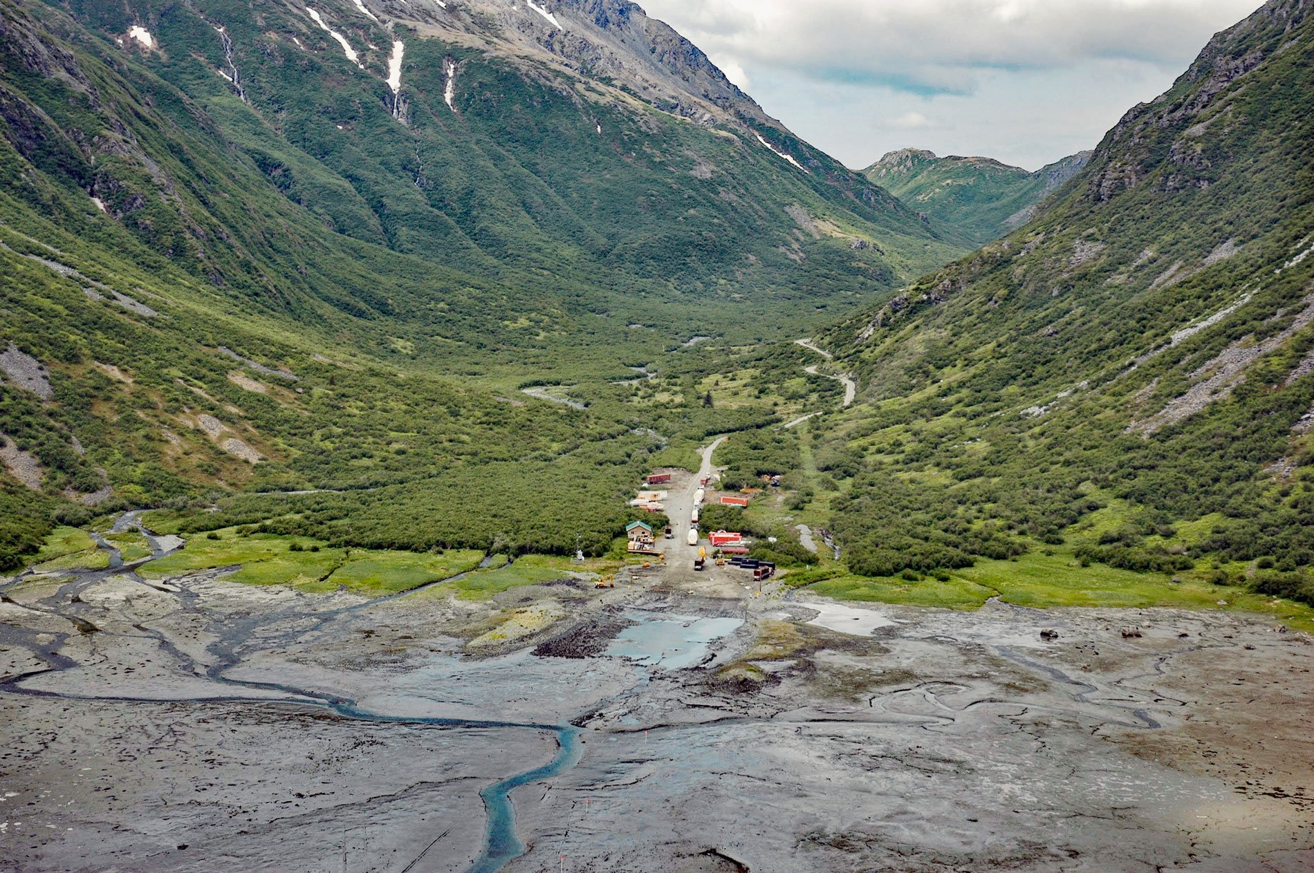
Williamsport is a boat landing and seasonal community at the mouth of Williams Creek in the Chigmit Mountains on the west shore of Iliamna Bay on Cook Inlet, about 75 miles (121 km) west of Homer and 43 miles (70 km) east of Iliamna, Alaska. The community is located at the end of the Pile Bay-Williamsport Road, also known as the Iliamna Portage Road.
The Iliamna Portage Road is 15.5 miles (25 km) long and was originally constructed to allow small commercial fishing boats and other freight to travel across the Chigmit Mountains that separate Cook Inlet on the east and Iliamna Lake to the west. Iliamna Lake drains into Bristol Bay via 50 miles (80 km) of the Kvichak River. The braided channels of the Kvichak are navigable by small boats and are home to the largest sockeye salmon run in the world. Commercial harvests are worth hundreds of millions (USD) annually. The portage road greatly reduces the journey between Cook Inlet and the Bristol Bay fisheries, the only other option being the 1,000 miles (1,600 km) route around the Alaska Peninsula.
There is evidence that this route was used for trading between Cook Inlet and Bristol Bay Alaska Natives. Russian traders followed the route in the 1800s, and after the Alaska Purchase, the portage was used by Euro-American gold miners. Williamsport is named after Carl Williams, who purchased a trading post at the head of Iliamna Bay in 1936 and established a freight business using a pioneer road that was cut before 1920. The current one-lane, unpaved road was originally built by the Williams family in 1937, who still operate the only freight hauling business, but the road is owned and now maintained by the state. The road is open only during the summer and about four boats can be hauled per day, depending on the tide heights in Cook Inlet. Learn more here and here. Explore more of Williamsport and Iliamna Bay here:

