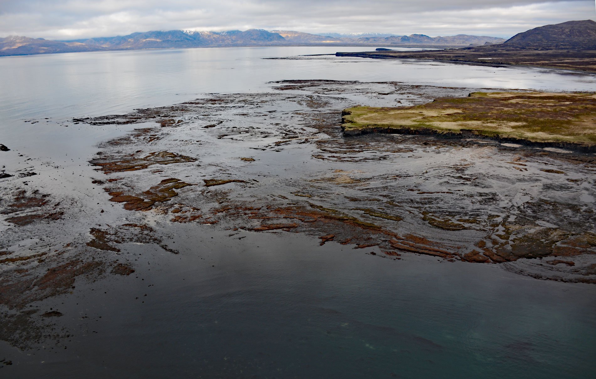
Aniakchak National Monument and Preserve surrounds Mount Aniakchak caldera in the Aleutian Range, which is 6 miles (9.7 km) wide and 2,500 feet (762 m) deep and formed during a massive volcanic eruption 3,500 years ago, about 200 miles (323 km) southwest of Kodiak and 50 miles (81 km) northeast of Chignik, Alaska. The preserve also includes 135 miles (218 km) of shoreline in Amber Bay, Aniakchak Bay, and part of Kujulik Bay on the Pacific Ocean. This is the least visited unit in the National Park system due to the remoteness and notoriously bad weather.
Little is known of the prehistoric people who lived in the area before the eruption of the Aniakchak volcano. The area was likely inhabited at different times by Aleut and Alutiiq natives but little evidence remains, perhaps a result of recurring catastrophic volcanism. The coast was first mapped by Admiral Adam Johann von Krusenstern with the Imperial Russian Navy and appears on charts from 1826. The development of the salmon fishing industry in 1882 brought regular seasonal vessel traffic along the coast, as well as a cannery to nearby Chignik Lagoon. The industry was based on fish traps and several were built in Aniakchak Bay from 1917 to 1937, and some traps operated until 1949. The Columbia River Packers Association built a bunkhouse at the north end of Aniakchak Bay in the 1920s to house workers who maintained the traps. Razor clams were also found in Aniakchak Lagoon and Axel Olsen operated a cannery at the southwestern end of the bay in the summer of 1932, processing 12,948 pounds of clams.
The Aniakchak Caldera National Monument was first proclaimed in 1978, and in 1980 the Alaska National Interest Lands Conservation Act established the unit as a national monument surrounded by a larger national preserve that extended to the coast. The Aniakchak River flows generally east for 27 miles (43 km) from Surprise Lake in the crater of Mount Aniakchak into Aniakchak Bay and the Pacific Ocean. In 1980, the Aniakchak River and several tributaries within the national monument were designated “wild” and added to the National Wild and Scenic Rivers System. Although the Aniakchak River is floatable in small to medium rafts and other watercraft, rapids and low water temperatures, hazardous winds and generally inclement weather, and the remoteness limit the number of parties floating this river to only a few each year. Read more here and here. Explore more of Aniakchak Bay and Aniakchak National Preserve here:

