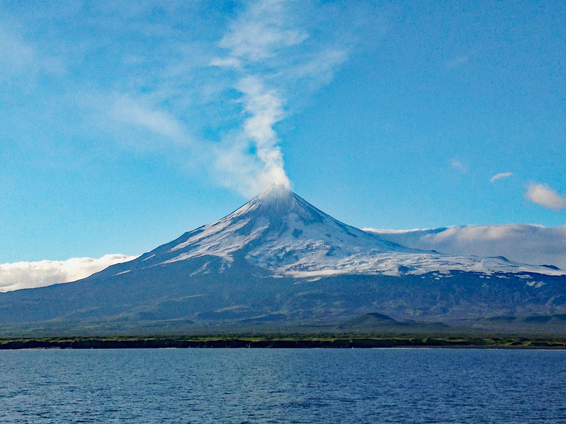
Mount Shishaldin is a volcano on Unimak Island that rises over 9,000 ft (2800 m) directly from the Pacific Ocean and is the highest of several volcanos on the island, about 120 miles (194 km) northeast of Dutch Harbor and 24 miles (39 km) west-southwest of False Pass, Alaska. The volcano has been used for centuries as a navigational landmark by mariners, although the weather in the Aleutian Islands often obscures the cone. The Aleut people named the volcano Sisquk, meaning “mountain which points the way when I am lost”.
Shishaldin is a stratovolcano and the tallest of 11 known volcanoes on Unimak Island, the easternmost and largest of the Aleutians Islands, and part of the Alaska Maritime National Wildlife Refuge. Eruptions have been recorded from the volcano since 1775, with major eruptions occurring in 1824 and 1830. It was last active in 2008 but emits a constant plume of steam from a small summit crater. Shishaldin is the youngest of the eastern group of Unimak volcanoes which includes neighboring Isanotski and Roundtop volcanos. The Shishaldin cone is less than 10,000 years old and lies on a glacially eroded remnant of an ancient shield volcano. The entire cone above about 2500 ft (800 m) elevation is covered by snow and glacial ice.
Despite the many violent eruptions, Shishaldin is one of the most symmetrical cone-shaped mountains on earth. The volcano’s topographic contour lines are nearly perfect circles above 6,500 feet (2,000 m). Shishaldin Volcano was designated as a National Natural Landmark in 1967. The National Natural Landmarks Program was established in 1962 and is managed by the National Park Service. The primary goals of the program are to recognize and encourage the preservation of the best remaining examples of major biotic communities and geologic features in the nation’s natural landscape. There are currently 591 sites designated in 48 states, 3 territories, and the Commonwealth of Puerto Rico. Read more here and here. Explore the shoreline of Shishaldin Volcano and Unimak Island here:

