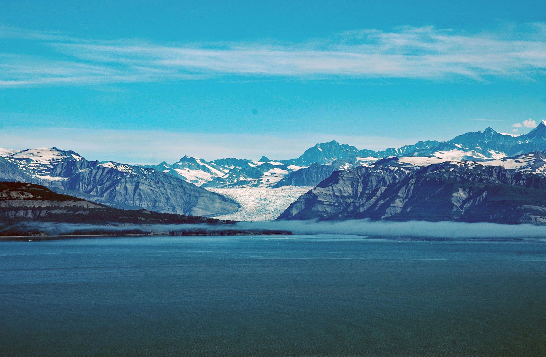
Icy Bay is on the Gulf of Alaska coast in Wrangell-Saint Elias National Park and Preserve, about 154 miles (248 km) southeast of Cordova and 65 miles (105 km) northwest of Yakutat, Alaska. Until the beginning of the 20th century, the bay entrance was blocked by a giant tidewater glacier that calved icebergs directly into the Gulf of Alaska. On June 4, 1794, Joseph Whidbey with the Vancouver Expedition explored the area for Captain George Vancouver. The bay was described as only an indentation of the glacier face and was not shown on expedition charts.
The present Icy Bay was uncovered by the retreat of the Guyot, Yahtse, and Tyndall Glaciers that stream from the Saint Elias Mountains, the highest coastal mountain range on Earth. This century-long glacial retreat opened a multi-armed bay more than 30 miles long (48 km). The relatively rapid glacial retreat released pressure from the surrounding slopes causing instability and slope failures. On 17 October 2015, a slope failure at the terminus of Tyndall Glacier dropped 180 million tons of rock into Taan Fjord. The resulting megatsunami reached elevations as high as 633 feet (193 m), one of the highest tsunami runups ever documented. The area is uninhabited and the event went undetected until seismograms at Columbia University in New York City recorded a 4.9-magnitude event on the Richter scale. The bay lies within Wrangell-Saint Elias National Park and Preserve.
Wrangell-Saint Elias National Park and Preserve were established in 1980 by the Alaska National Interest Lands Conservation Act. The protected areas are included in an International Biosphere Reserve and UNESCO World Heritage Site. The park and preserve form the largest area managed by the National Park Service with a total of 13,175,799 acres (5,332,062 ha). The park includes a large portion of the Saint Elias Mountains, which include most of the highest peaks in the United States and Canada, yet are within 10 miles (16 km) of tidewater. Wrangell-Saint Elias borders Kluane National Park and Reserve to the east in Canada. Read more here and here. Explore more of Icy Bay and the coast of Wrangell-Saint Elias National Park and Preserve here:

