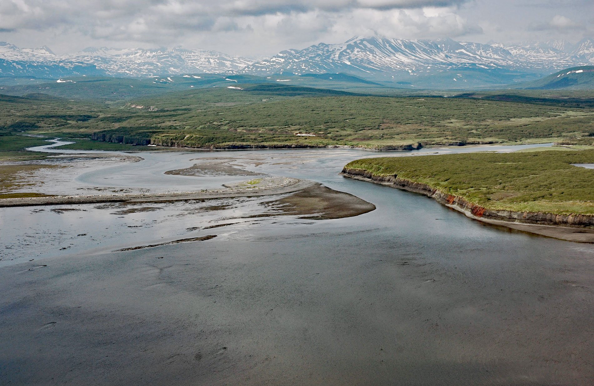
McNeil River starts from glaciers and alpine lakes in the Aleutian Range of the Alaska Peninsula and flows generally northeast for 35 miles (56 km) to McNeil Cove in Kamishak Bay, 103 miles (166 km) southwest of Homer and 101 miles (163 km) northwest of Kodiak, Alaska. In the early 20th century, the prospector Charles McNeil was living at McNeil Cove. Claims staked by Charles McNeil were located near the mouth of Crevice Creek, a western tributary of the middle fork of Paint River. The prospects were about 15 miles (24 km) west of McNeil Cove and historically accessible by wagon road. According to K.F. Mather, a few prospect pits and a tunnel were dug but they are insufficient to determine the size of the ore body. In 1922, approximately 10 tons of ore was shipped to a smelter in Tacoma, Washington.
Today, the river lies entirely within the McNeil River State Game Sanctuary that was created in 1967 by the State of Alaska to protect brown bears from hunting. The sanctuary encompasses both the McNeil River and Mikfik Creek watersheds. McNeil River supports primarily chum salmon with incidental numbers of king salmon, pink salmon, and silver salmon. Red salmon spawn in the Mikfik Creek watershed. Virtually all human and bear use occurs in or near McNeil Cove and the lower 0.6 miles (1 km) of McNeil River and Mikfik Creek, but especially the long low cascade that forms the McNeil River Falls where salmon are most easily caught. Due mostly to a diligent management program and bear habituation to humans, as many as 100 bears have been seen at the falls in a single day with frequent sightings of 60 or more at one time.
The northern edge of the refuge lies about 50 miles (80 km) south of the southern boundary of Lake Clark National Park and Preserve. The refuge is bounded to the west by Katmai National Preserve and the southern and western parts of the sanctuary are bordered by the rest of Katmai National Park. Much of the land is treeless, rolling tundra, but there are several mountainous areas in the southern part of the sanctuary. Getting there requires extensive planning and booking. Visitation is limited and permits are awarded to applicants through an annual lottery. The river is accessible only by boat or airplane. Read more here and here. Explore more of McNeil River and Kamishak Bay here:

