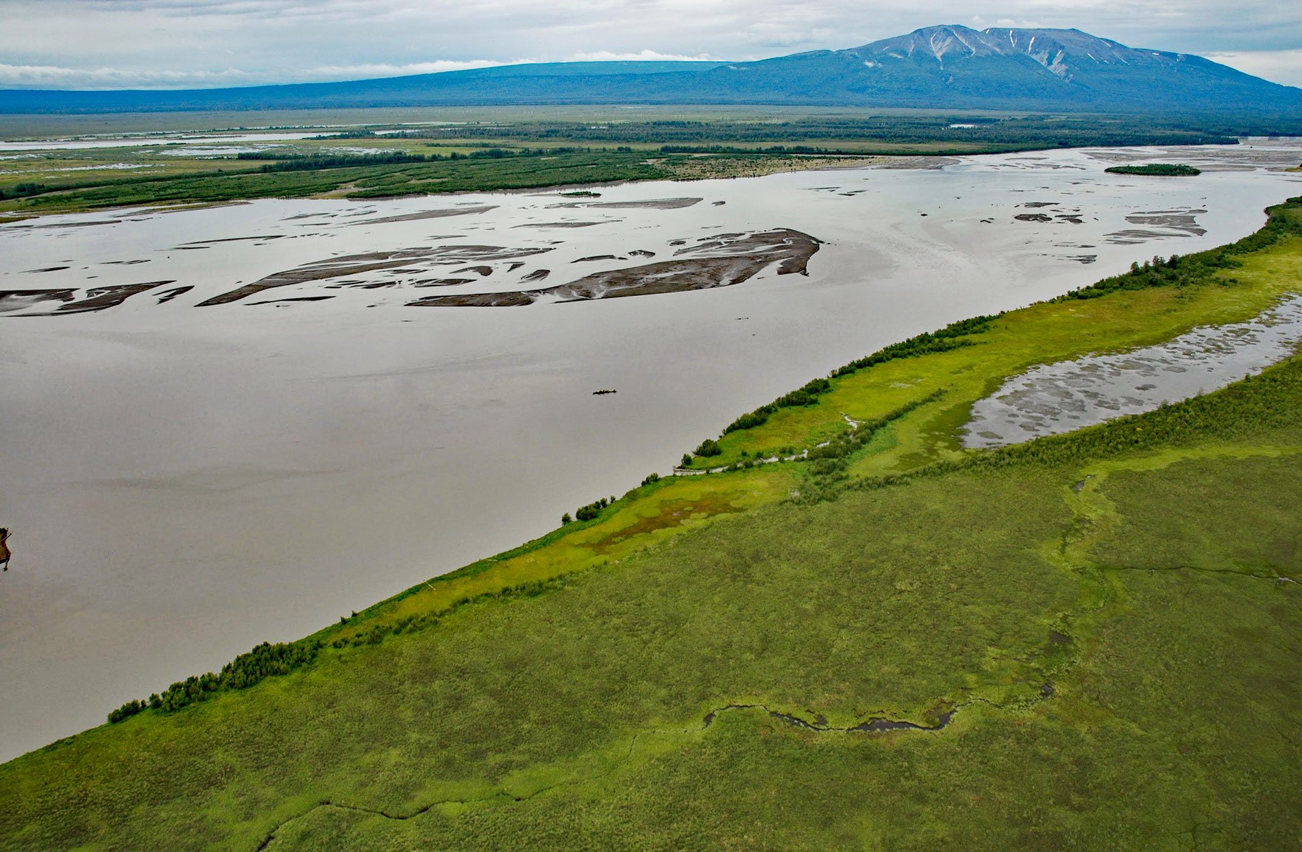
Mount Susitna is a prominent mountain and landmark in northern Cook Inlet, with an elevation of 4,396 feet (1,340 m), on the west bank of the Susitna River, about 65 miles (105 km) north-northeast of Kenai and 33 miles (53 km) northwest of Anchorage, Alaska. The Dena’ina name for the mountain is Dghelishla, meaning “Little Mountain”. It is locally known as Sleeping Lady for its distinctive profile when viewed from Anchorage, but the name is not based upon a Dena’ina name or legend. The Dena’ina used this mountain for navigation and orientation as do ship and airplane pilots today. The mountain is a pluton of quartz monzonite to granodiorite that formed during the Jurassic period. The current landform resulted from a series of glaciation events when thick ice sheets flowed from the Talkeetna Mountains, Chugach Mountains, and Alaska Range to Cook Inlet. The ice flowed over the pluton creating a smooth-sided and teardrop-shaped feature aligned with the direction of ice flow. The last glaciation occurred in the late Pliocene to the Early Pleistocene (2-6 million years ago).
The Susitna Flats is an expansive coastal lowland extending for approximately 35 miles (56 km) from Point MacKenzie on the east to the Beluga River on the west and bisected by the Susitna River. Archaeological evidence indicates that the Dena’ina were established here between 1500 and 2000 years ago in seasonal hunting, fishing, trapping, and trading camps. In 1778, Captain James Cook on HMS Discovery sent William Bligh who commanded HMS Resolution, to scout Knik Arm in small boats with Lieutenant Joseph Whidbey. In 1794, Captain George Vancouver explored Cook Inlet and is credited with naming the inlet and many coastal features such as Point MacKenzie. In 1818, the Russian explorer Vasili Malakov came to the Susitna River, and in 1834, his son Peter Malakov explored the river in search of a route to the interior. The Russians established a trading post in the Tyonek area, that after the Alaska Purchase in 1867 was operated by the Alaska Commercial Company. In 1916, the Beluga Whaling Company hunted whales in upper Cook Inlet and also salted salmon at the mouth of the Beluga River. In 1976, the state legislature created the Susitna Flats State Game Refuge that encompasses approximately 301,947 acres (122,194 ha) of which about 22 percent is tidal mudflat, 11 percent is occasionally flooded salt marsh and meadow, and 67 percent is a combination of lakes, bogs, low shrub and mixed lowland forest. The refuge was created to ensure the protection of fish and wildlife populations, particularly waterfowl, moose, bear, and salmon. It was also established for public use and today, the refuge attracts large numbers of waterfowl hunters and sport fishermen and is the site of a commercial set net fishery for salmon. There are about 132 private cabins within the refuge, the majority are “duck shacks” constructed on piles to provide shelter for hunters during the fall hunting season.
The Susitna River flows for about 313 miles (504 km) from the Susitna Glacier on the south flank of Mount Hayes in the Alaska Range to Cook Inlet, draining a watershed of about 19,305 square miles (50,000 sq km). The Dena’ina name means “sandy river” and was first published on Russian charts in 1847. The river has 9 major tributaries including East Fork Susitna River, West Fork Susitna River, Yentna River, Deshka River, Talkeetna River, Chulitna River, Oshetna River, Tyone River, and Maclaren River. The hydroelectric potential of the Susitna River has been recognized for many years. A massive hydroelectric power project has been proposed for the Susitna River and a two-dam scenario was studied in the early 1980s. The original project consisted of a concrete high arch dam at Devils Canyon that would flood a deep gorge and famous whitewater rapids, and farther upstream an earthen dam at Watana would flood the upper river valley. This project was canceled due to costs exceeding $5 Billion. This was followed by a study for a one-dam scenario that was canceled in 2016 for environmental and economic reasons. The Susitna River is a major salmon spawning habitat even though the river freezes over between November and April. The operation of a hydroelectric project would significantly alter the flow, thermal, sediment, and ice regimes of the river downstream of the impounded reservoir potentially causing significant environmental impacts on salmon habitat. Read more here and here. Explore more of Mount Susitna and the Susitna River Flats here:

