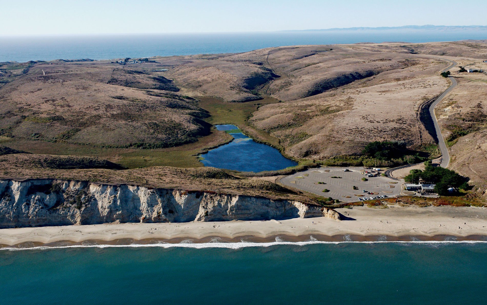
Drakes Beach is a remote strand in Point Reyes National Seashore at the head of Drakes Bay and adjacent to the Point Reyes State Marine Reserve, about 12 miles (19 km) southwest of Inverness, California. Drakes Bay is 4 miles (6.4 km) wide and was named by George Davidson in 1875 for Sir Francis Drake, who was an English sea captain, privateer, slave trader, pirate, naval officer, and explorer of the Elizabethan era.
A portion of the coastal area of Drakes Bay is archaeologically and historically important. It is believed to be the site of Sir Francis Drake’s 1579 landfall (a land he called New Albion), and also the location where a Spanish Manila galleon sank during a storm in 1595. Both Drake and the Portuguese commander of the galleon, Sebastião Rodrigues Soromenho, interacted with the local Coast Miwok people. There are fifteen archaeological sites on the bay of Miwok settlements where European trade goods have been found, including materials that the Miwok probably recovered from the wrecked galleon.
Drakes Bay is formed by the prominent headland of Point Reyes and the beach is backed by dramatic white sandstone cliffs. Point Reyes cause waves to refract into the bay and erode the sandstone cliffs that deposit sand on the beach. The entire length of Drakes Beach has well-developed beach cusps. Beach cusps are arc-shaped shoreline formations found all over the world that nearly always occur in a regular pattern of equal size and spacing. Although the origin of beach cusps has yet to be proven, once cusps have been created they are a self-sustaining formation. Read more here and here. Explore more of Drakes Beach here:

