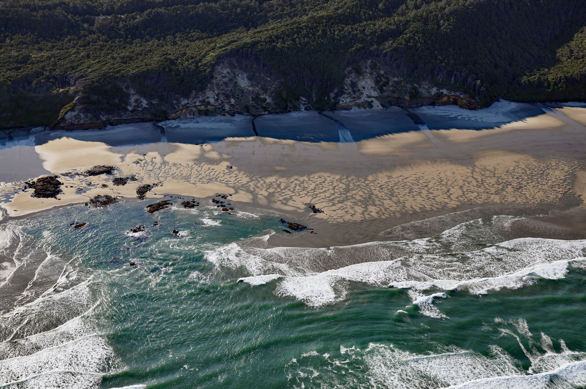
Hobbit Beach is a secluded strand located just north of Heceta Head, about 13 miles (21 km) north of Florence and 12.5 miles (20 km) south of Yachats, Oregon. The beach can be accessed via the Hobbit Trail which begins in a Sitka spruce forest and leads to the base of dramatic coastal cliffs. Near the beach, the trail passes through a tunnel of bushy foliage and down steps to the sandy shore. It is this leafy tunnel and the experience of emerging from the mossy woods to the wide-open beach that inspired the trail name.
Heceta Head is a headland with an elevation of 1,000 feet (300 m) named after Bruno de Heceta y Dudagoitia, who was a Spanish Basque explorer of the Pacific Northwest. Born in Bilbao of an old Basque family, he was sent by the Viceroy of New Spain, Antonio María Bucareli y Ursúa, to explore the area north of Alta California in response to information that there were colonial Russian settlements there. Heceta was given command of the Santiago, and accompanying Heceta was the schooner Sonora. The Spaniards ultimately reached a latitude of 59° north on August 15, 1775, and performed ‘acts of sovereignty‘ to formally claim the territory.
The Spanish claim to Alaska and the Pacific Northwest had dated back to a 1493 charter issued by the pope of the Catholic Church and rights contained in the 1494 Treaty of Tordesillas. The first European expedition to actually reach the Pacific coast was led by the Spaniard Vasco Núñez de Balboa, who in 1513 claimed the Pacific Ocean for the Spanish Crown, as well as all the lands touching it. Confident of their claims, the Spanish Empire did not explore or settle the northwest coast for 250 years after Balboa’s claim. By the late 18th century, however, learning of Russian and British arrivals along the Pacific Northwest and Alaskan coasts, Spain finally grew sufficiently concerned about their claims to the region and set out to discover the extent of any Russian and British encroachment. Read more here and here. Explore more of Hobbit Beach here:

