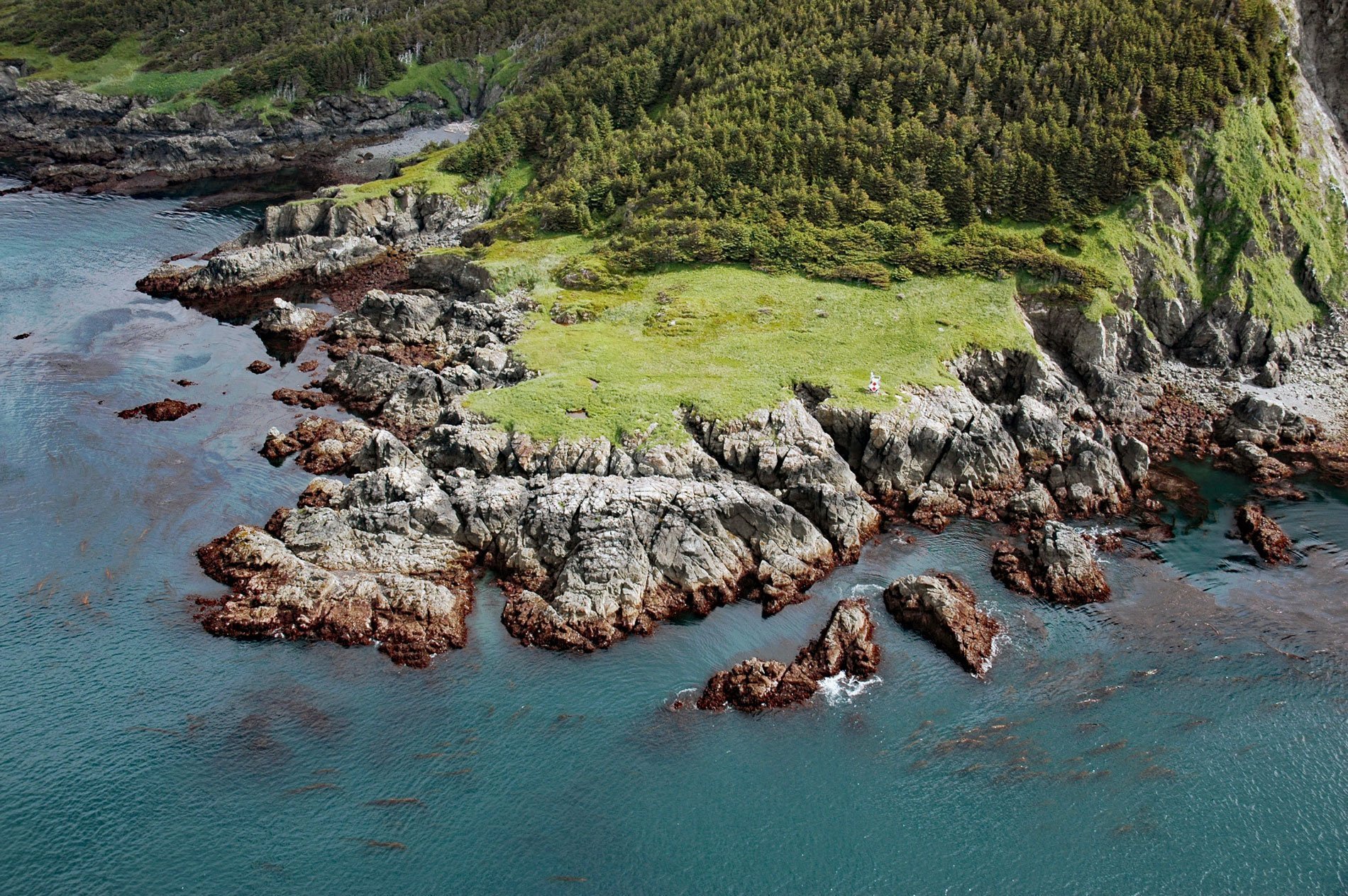
Elizabeth Island is about 3 miles (4.8 km) across, and along with Perl Island and East Chugach Island, it is one of the three Chugach Islands located on the north side of Kennedy Entrance about 96 miles (155 km) north-northeast of Kodiak and 36 miles (58 km) south-southwest of Homer, Alaska. In 1778, Captain James Cook on the HMS Resolution named the western headland ‘Cape Elizabeth’ because he did not realize the point was on an island. The name is after Princess Elizabeth of the United Kingdom who was the seventh child and third daughter of King George III and Charlotte of Mecklenburg-Strelitz. In 1779, the island was named ‘Isla San Aniceto’ by Captain Ignacio Arteaga of the Spanish Navy. The island was later renamed ‘Elizabeth Island’ by the U.S. Coast and Geodetic Survey and the western shore of the island was named Cape Elizabeth. The island is constantly battered by the full force of storms in the Gulf of Alaska and the topography is shaped largely by the relatively erosion-resistant rocks from the McHugh Complex. These rocks occur south of the Border Ranges Fault which is roughly aligned with the axis of Kachemak Bay. The most dominant rock is partially metamorphosed siltstone, greywacke, and sandstone.
Ignacio de Arteaga y Bazán was given command of the frigate Favorita, and Bodega y Quadra commanded the Princesa. The expedition’s objective was to evaluate the Russian colonization of Alaska, search for a Northwest Passage, and capture James Cook if they found him in Spanish waters. Arteaga and Bodega y Quadra did not find Cook, who had been killed in Hawaii earlier in 1779. The two frigates sailed over 81 days directly from San Blas to Bucareli Bay, Alaska. They continued north and encountered overcast, cold, and snowy conditions. The Alaska Natives they encountered there were quite friendly and approached the ships in streamlined native kayaks and wanted to trade. The ships reached a place they named Entrada de Santiago known today as Prince William Sound and anchored at an island they named Magdalena, known today as Hinchinbrook Island. Continuing on, they made repeated landings to take formal possession and to chart the new territory they discovered. They also took formal possession of a bay near the tip of Kenai Peninsula they named Nuestra Senora de la Regla, known today as Port Chatham. They got as far as Afognak Island near Kodiak before driving rains and cold, seven deaths, and a crew that had become extremely ill with scurvy finally forced Arteaga to order the two ships to head south.
Spain never published the accomplishments of the three exploratory expeditions to Alaska for fear of releasing valuable military secrets, and in so doing essentially relinquished their claims of discovery. In the 10 years following the expedition of Arteaga and Bodega, traders from many nationalities became actively involved in exploiting the resources of the area. It was Cook’s casual accumulation of a small collection of sea otter pelts taken in trade with Alaska Natives that enticed foreign merchants to the Pacific Northwest. These furs became a valuable commodity in the Chinese trade market and news of their source quickly spread to almost every European merchant with a ship sturdy enough to sail to the Northwest. Today, Elizabeth Island has a few seasonal inhabitants occupying cabins on the northwest coast, and Cape Elizabeth has a lighted navigation aid on a tower 48 feet (15 m) above sea level, with a diamond-shaped red and white daymark warning mariners of a submerged rock 0.4 miles (0.7 km) west of the cape. Read more here and here. Explore more of Cape Elizabeth here:

