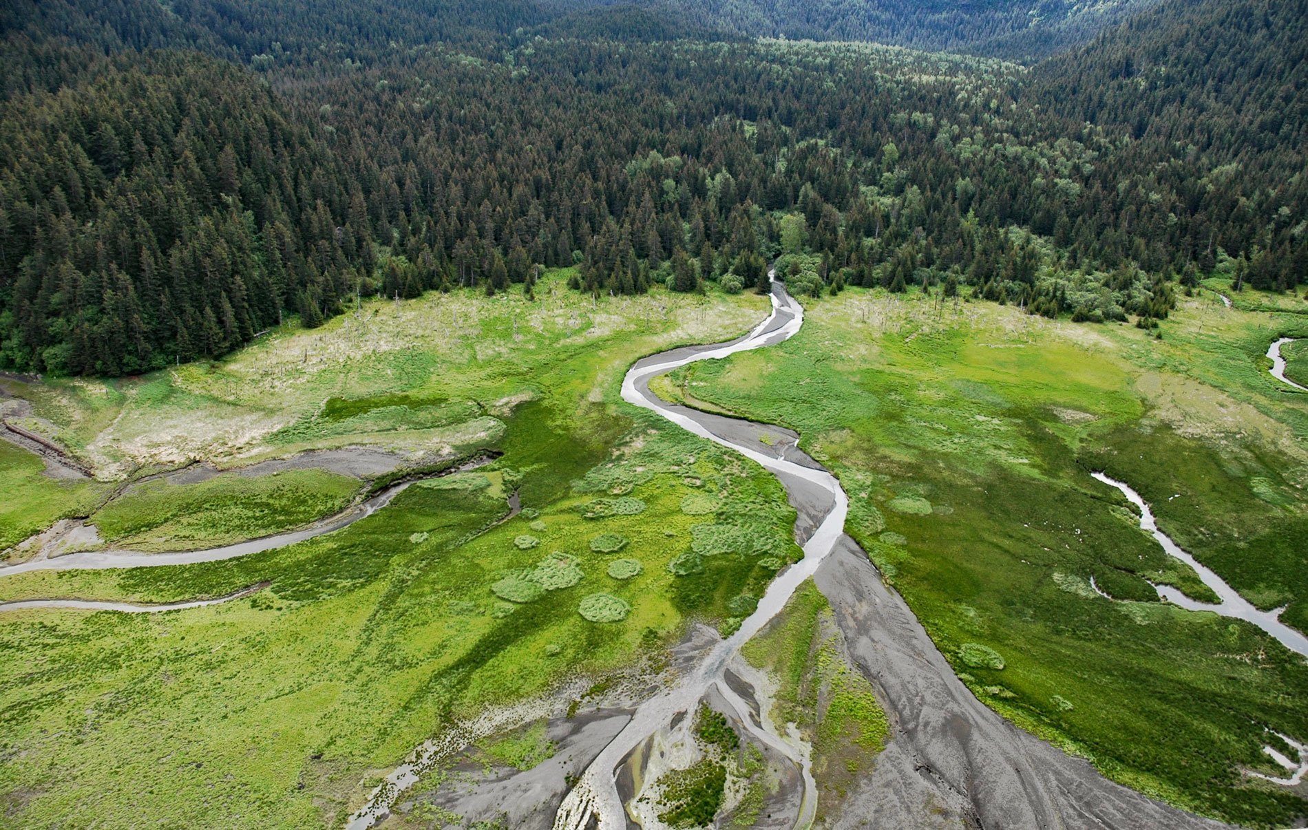
Sadie River starts on the western flank of the Kenai Mountains at an elevation of about 3,200 feet (975 m) and flows generally west-northwest for 6 miles (10 km) through Kachemak Bay State Park to the head of Sadie Cove, about 14.5 miles (23 km) south-southeast of Homer and 13 miles (20 km) east-northeast of Seldovia, Alaska. Sadie Cove is on the southeast shore of Kachemak Bay and was named in 1880 by William H. Dall of the U.S. Coast and Geodetic Survey for Sarah ‘Sadie’ Eldred, who was the wife of Marcus Baker. The Sadie River watershed comprises rocks of the McHugh Complex which in this area is represented by blocks of massive conglomerate and greywacke that range up to several kilometers in thickness. The greywacke was originally formed by turbidities during the Early Jurassic to Early Cretaceous time, or 201 to 145 million years ago, based on radiolarian chert fragments. The turbidite deposits were lithified, metamorphosed, and eventually uplifted as part of the Chugach terrane, an accretionary composite of rock that dominates the southern coast of Alaska.
Marcus Baker was an American mathemetician, astronomer, explorer of Alaska, journalist, and newspaper editor. In 1872, he was hired by William H. Dall to be the astronomer on an expedition to Alaska on the survey cutter Yukon, where he collected navigational, topographical, and hydrographical data. Alaska at this time was considered an unexplored wilderness of ice and fog. He would continue to go with Dall to Alaska every year until 1888 when he co-founded the National Geographic Society and was one of the first editors of the National Geographic Magazine. He was one of the 15 original signers of the articles of incorporation for the National Geographic Society in 1888. Baker was well known for his work in geology and cartography. Much of his time was given to the completion and publication of the first comprehensive Dictionary of Alaskan Geographic Names, which was issued in 1902, and on a discussion of the Northwest Boundary Surveys of the United States, 1857-1861. Mount Marcus Baker in the Chugach Range of southern Alaska is named after him.
The Sadie River estuary at the head of Sadie Cove was surveyed in the 1970s as part of a biological reconnaissance of lower Cook Inlet. The most common intertidal soft substrate biota included invertebrates such as gaper clams, Dungeness crabs, true seastars, and sunflower stars. Primary producers in this community included eelgrass, sea lettuce and sugar kelp. Adjacent to the estuary is Sadie Peak with a summit elevation of 4,320 feet (1,317 m) that dominates the southern skyline of Kachemak Bay in the Kachemak Bay State Park. The park includes 400,000 acres (161,874 ha) in and around Kachemak Bay and is the first legislatively designated state park in the Alaska State Parks system. The neighboring Kachemak Bay State Wilderness Park is the state’s only legislatively designated wilderness park. There is no road access to most areas of the park and visitors normally fly in or travel by boat from Homer. Read more here and here. Explore more of Sadie River here:

