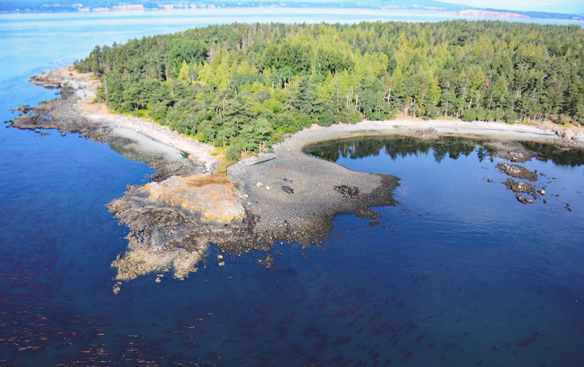
D’Arcy Island is one of the Southern Gulf Islands in Haro Strait with about 205 acres (83 ha), situated 2.3 miles (3.7 km) west-southwest of the international border and part of the Gulf Islands National Park Reserve, about 30 miles (48 km) west of Anacortes and 10 miles (16 km) north-northeast of Victoria, British Columbia. The island is named after John D’Arcy who was a mate on the HMS Herald in 1846 when together with HMS Pandora they conducted a survey of the coast of British Columbia following the boundary dispute with the United States. The island name in the local Tsawout language is Ćteseu, meaning ‘arrive’, and referring to where the salmon first arrive when heading for the Fraser River to spawn. The island is comprised of sedimentary bedrock of the Nanaimo Formation that formed during the Late Cretaceous, or between 90 and 65 million years ago. Differential erosion of the bedrock has formed north-to-south ridges of resistant sandstone and conglomerate separated by channels of weak shale and mudstone. The bedrock has been reshaped by glacial erosion principally during the last major ice advance of the Fraser Glaciation.
D’Arcy Island was used as a leper colony for Chinese immigrants from 1891 to 1924. This infamous legacy began when Victoria’s police and health officers conducted a routine sweep through Chinatown and found five huddled men bearing obvious signs of leprosy hidden in a small shack behind a store on Fisgard Street. Victoria’s municipal government responded by quickly gaining provincial support to expropriate D’Arcy Island and turn it into a leper colony. For the next 33 years, the tiny islet was used as a lazaretto where 49 people in total, all men, and all but one Chinese, were kept in isolation. Their only contact with the outside world was a visit every three months from a supply ship with a doctor. The lepers cleared and planted a garden about one acre in size and had a cultural organization that allowed them to care for each other. D’Arcy Island finally ended as a leper colony in 1924 when the federal government shut it down and moved the remaining residents to Bentinck Island near Race Rocks, closer to medical quarantine facilities, which operated until 1957.
D’Arcy Island’s proximity to the United States border was exploited from 1920 to 1924 during the American Prohibition by bootlegger Roy Olmstead in the smuggling of Canadian liquor, primarily whiskey, to Washington State. His operation would transport the liquor from Victoria, British Columbia, to islands in Haro Strait, including D’Arcy, for later pickup by smaller craft that would move the contraband during rough weather, making it more difficult for the Coast Guard to detect them. D’Arcy Island was declared a marine park in 1961 and included as part of the Gulf Islands National Park Reserve in 2003. Read more here and here. Explore more of D’Arcy Island and the Southern Gulf Islands here:

