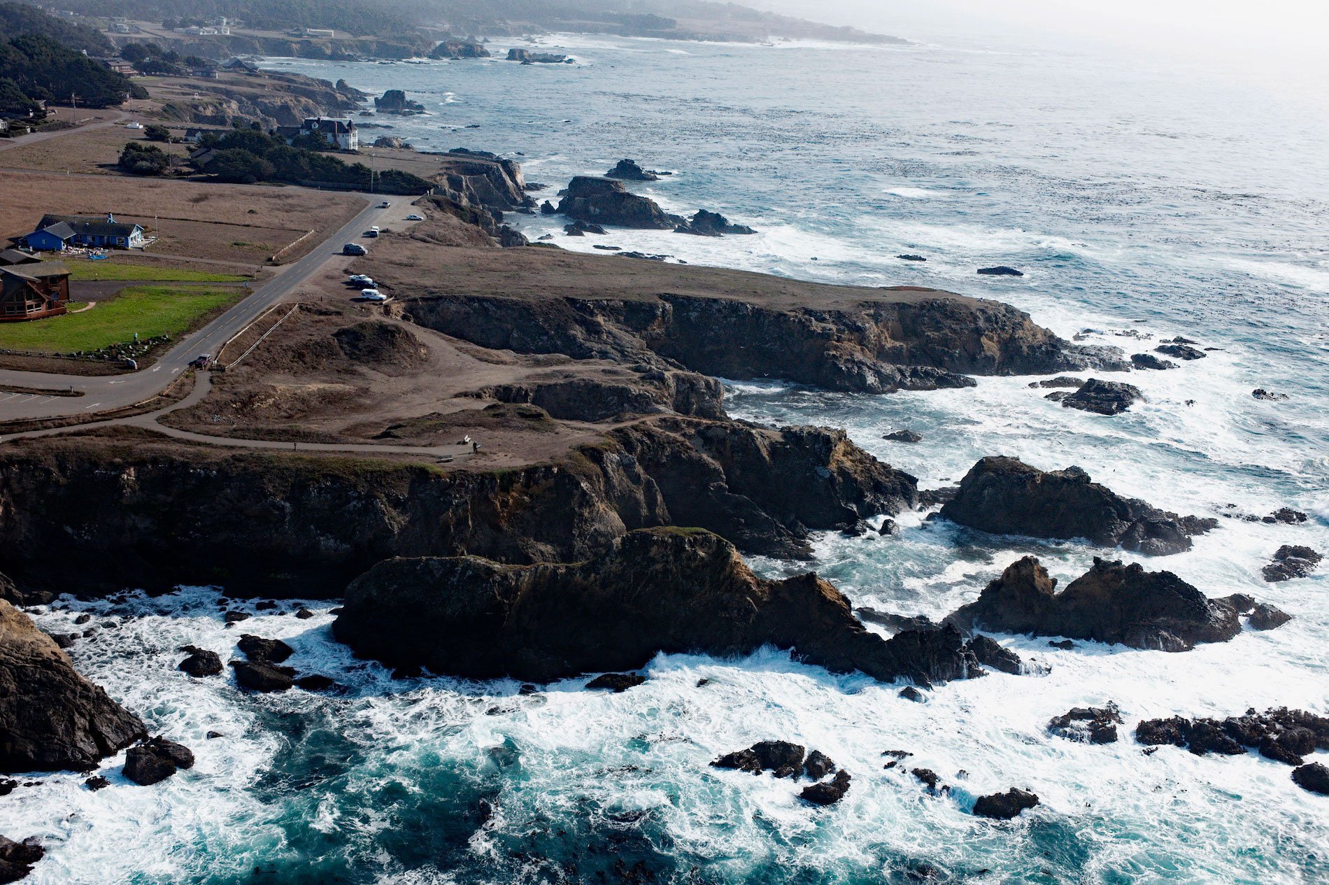
Pomo Bluffs is a park on the ocean bluffs at Todd’s Point overlooking Noyo Bay about 1 mile (1.6 km) south of Fort Bragg in the community of Noyo, California. The park consists of 25 acres (10 ha) of property acquired with grants from the California Coastal Conservancy and the California Department of Transportation. The city park provides access to views of the coastline that will be preserved and protected in perpetuity.
The community of Noyo is located at the mouth of the Noyo River. The river was misnamed by early white settlers after a village of the Pomo people named Noyo several miles north on Pudding Creek. The Pomo named the creek after their village, and the settlers transferred the name to the larger river to the south. The city limits of Fort Bragg now come within a block of the edge of the bluff. The few houses outside the city limits and the commercial buildings near the Noyo river are still known as “Noyo”.
The land surrounding Noyo Bay was home to Native Americans of the Pomo tribe. In 1855, the Bureau of Indian Affairs visited the area looking for a site to establish an Indian reservation, and in the spring of 1856, the Mendocino Indian Reservation was established at Noyo. In June 1857, First Lieutenant Horatio G. Gibson established a military post on the Mendocino Indian Reservation. He named the camp for his former commanding officer Captain Braxton Bragg, who later became a General in the Army of the Confederacy during the American Civil War. The Mendocino Indian reservation was discontinued in March 1886 and the land opened for settlement several years later. In 1885, C.R. Johnson, the founder of the Union Lumber Company, along with his partners Calvin Stewart and James Hunter, moved a lumber mill from Mill Creek to Fort Bragg to take advantage of the harbor for shipping. Read more here and here. Explore more of Pomo Bluffs here:

