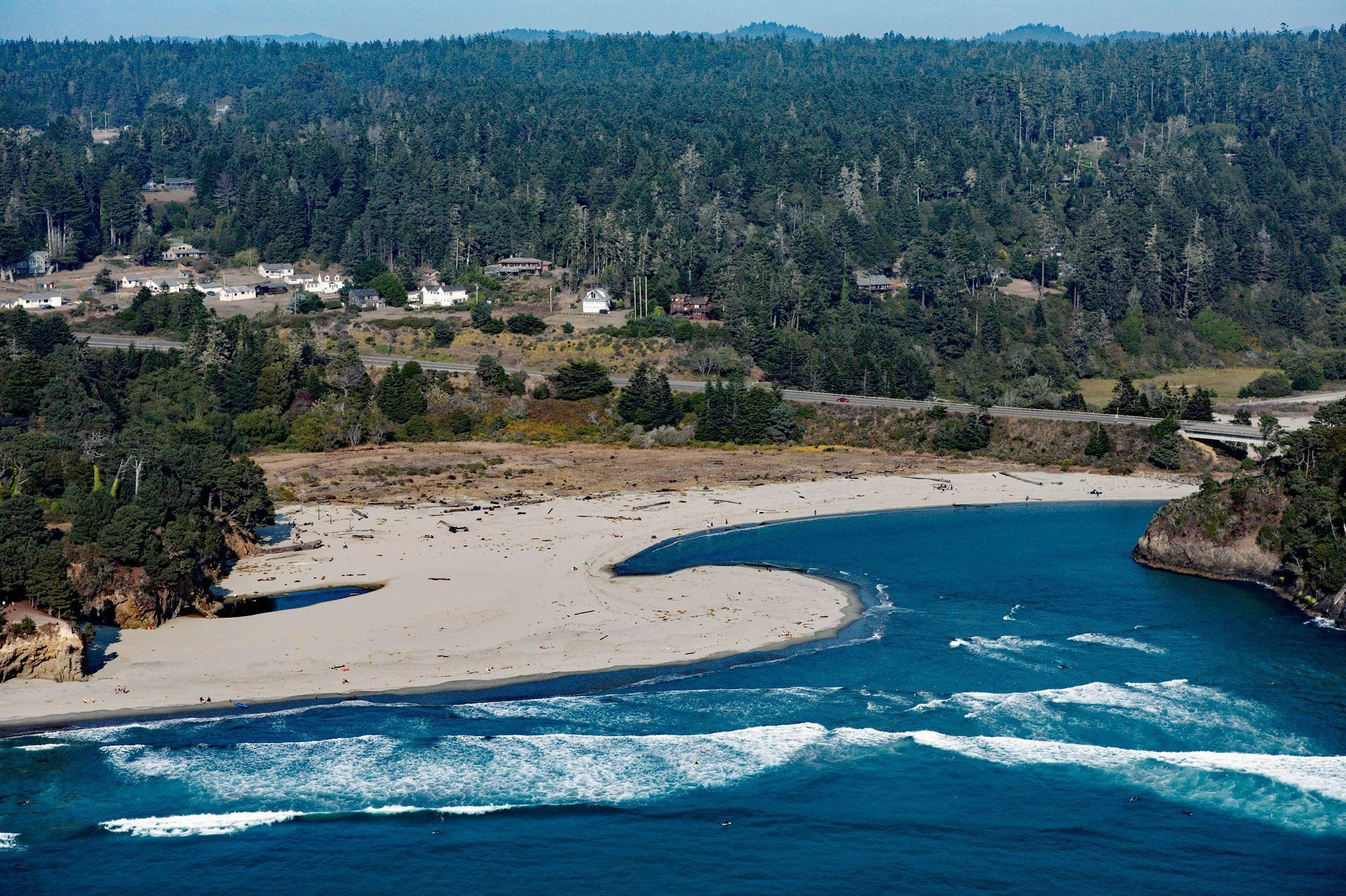
Big River flows for 42 miles (68 km) through the northern California Coast Range starting at an elevation of approximately 2,800 feet (865 m), draining a watershed of 181 square miles (46,880 ha) and entering the Pacific Ocean at Mendocino, California. From the river mouth, the estuary extends for 8.3 miles (13.4 km) upstream in the summer, and 3 miles (5 km) in the winter when the river discharge is highest.
The lands of the Big River watershed were historically inhabited by the Me-tum’mah, or Mitom Pomo tribe. Big River was named for the giant redwoods that once lined its banks, and was shown as Arroyo Grande on maps of the original Albion Mexican land grant of October 30, 1844. The timber industry has dominated the area since the 1850s when the first mill was constructed in what was then known as Mendocino City. The mill was constructed on the bluffs overlooking the river mouth with an apron chute to load lumber onto schooners anchored at the river mouth. Splash dams were built on the river and their floodgates were opened every winter to sweep logs downstream to booms which kept the logs from floating out to sea. This method of log transport increased erosion, removed woody debris, and buried cobble substrates. Logging practices severely impacted the estuary which served as a millpond from 1852-1938.
The U.S Fish and Wildlife Service nominated the estuary for protection in 1980 under the Unique and Nationally Significant Wildlife Ecosystem Program. Although the nomination did not garner the necessary protections, the estuary did receive protection in 2002 when the Mendocino Land Trust purchased a 7,334 acre (2,968 ha) parcel from the Hawthorne Timber Company. The land was donated to California State Parks as part of the Mendocino Headlands. In 2010, the estuary waters were designated as a State Marine Conservation Area under the Marine Life Protection Act. Today, Big River Estuary State Marine Conservation Area is a small marine protected area located just south of the town of Mendocino. It covers less than a quarter square mile (65 ha) of estuary habitat along 1.3 miles (2.1 km) of riverbank east of the Highway 1 bridge. Big River Beach provides access for launching canoes and kayaks onto the protected waters of the Big River Estuary. Read more here and here. Explore more of Big River here:

