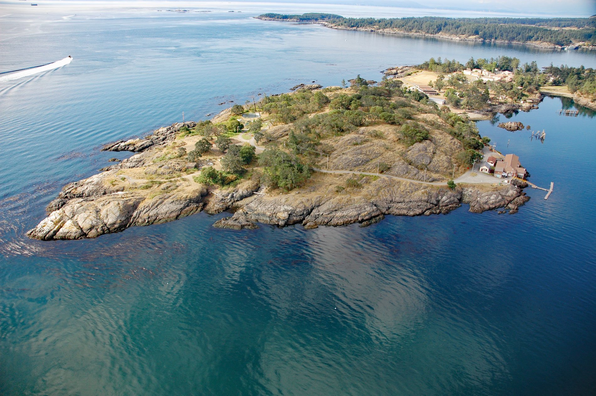
William Head is a peninsula on the north coast of the Strait of Juan de Fuca, between Pedder Bay to the south and Parry Bay to the north, 9.7 miles (15.6 km) southeast of Sooke and 9.6 miles (15.5 km) southwest of Victoria, British Columbia. William Head was named for explorer Sir William E. Parry who was known for an 1819 expedition through the Parry Channel, probably the most successful in the long quest for the Northwest Passage. In 1827, he attempted one of the earliest expeditions to the North Pole and reached 82° 45′ N, setting the record for the farthest north exploration that stood for nearly 50 years.
William Head Quarantine Station was built in the 1880s in response to fears of plague brought by immigrants to British Columbia. With gold prospectors arriving from California and Chinese laborers immigrating to work on the railroad, the disease was rampant. William Head was often the first port of arrival for incoming ships to Canada’s west coast. The station inspected those coming ashore for a variety of infectious diseases in an active effort to keep the population healthy. If necessary, doctors at William Head could quarantine up to 800 people. The station closed in 1959 and the site now serves as a minimum-security federal penitentiary.
William Head Institution is a Canadian minimum-security federal correctional institution for men. The Institution opened in 1959 and can house 200 inmates. The facility is operated by the Correctional Service of Canada, a federal government agency responsible for the incarceration and rehabilitation of convicted criminal offenders sentenced to two years or more. Read more here and here. Explore more of William Head here:

