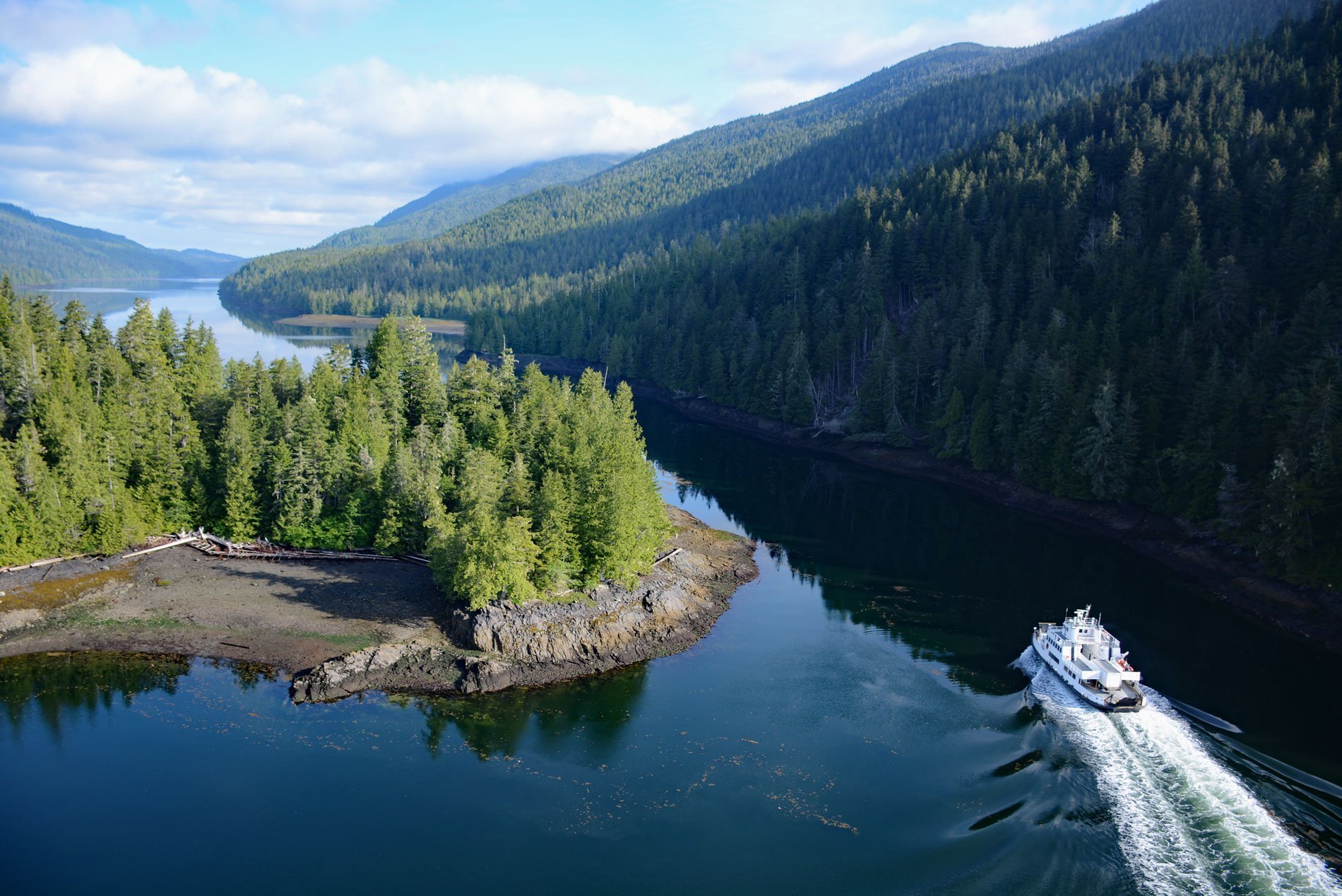
Tuck Narrows is located at the head of Tuck Inlet, about 6 miles (9.7 km) northeast of Prince Rupert, British Columbia. Tuck Inlet is a fjord with a depth of 260 feet (80 m), and an entrance sill depth of 34 feet (10.5 m). The inlet is named after Samuel Parker Tuck who surveyed the shores of the Prince Rupert harbour and this inlet in 1892.
The BC Ferry “Spirit of Lax Kw’alaams” runs through Tuck Narrows between Prince Rupert and Port Simpson, (also known as Lax Kw’alaams) a First Nation community. Lax-Kw’alaams derives from Laxłgu’alaams, also formerly spelled Lach Goo Alams, which means “place of the wild roses”. It is an ancient camping spot of the Gispaxlo’ots tribe.
In 1834, the Hudson’s Bay Company set up a trading post called Fort Simpson at Lax Kw’alaams. The facility was named after Captain Aemilius Simpson, the superintendent of Hudson’s Bay Marine Department, who in 1830 had established a fort on the nearby Nass River. Fort Simpson was built in order to undermine the American dominance of the Maritime Fur Trade along the Pacific Coast. The name was later changed to Port Simpson. Read more here and here. Explore more of Tuck Inlet here:

