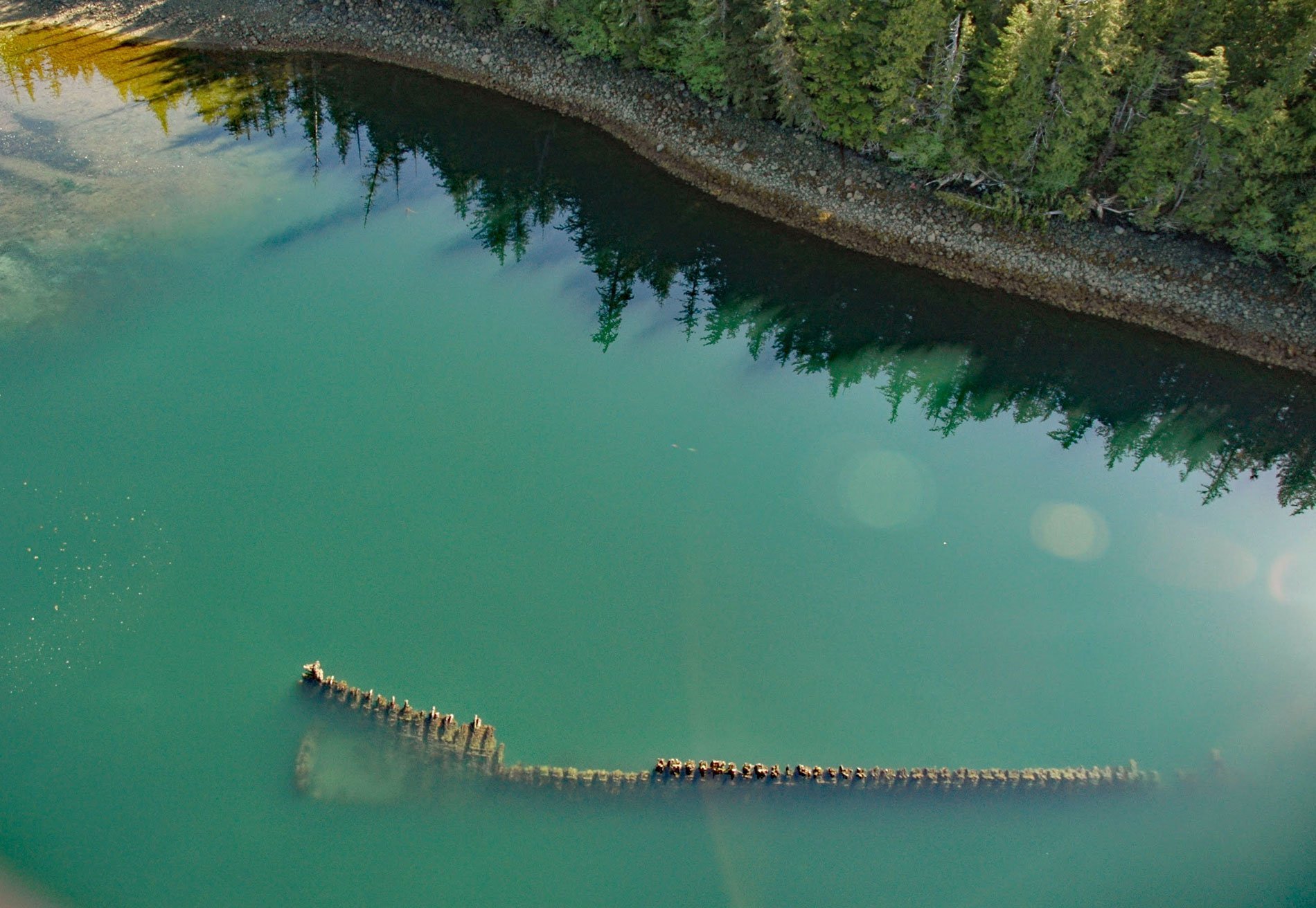
McLean Arm Bay is a narrow inlet that extends 6.5 miles (10.5 km) west from Clarence Strait, on the southeast coast of Prince of Wales Island, about 40 miles (65 km) southwest of Ketchikan and 40 miles (65 km) southeast of Hydaburg, Alaska. The inlet was named in 1885 by Lieutenant Commander R. Clover, of the U.S. Navy, for Ensign Walter McLean, a member of the survey team. The name for Prince of Wales Island first appeared in the treaty of February 16-28, 1825 between Great Britain and Russia.
Historically, logging was the mainstay of the collective Prince of Wales Island economy through most of the 20th century. Remote logging camps proliferated and in many cases, the most efficient means to provide support to logging crews were with floating facilities. McLean Arm Bay provided an excellent anchorage, protected from the williwaw winds caused by the adjacent mountains, and water could be obtained from several streams.
During World War I, the Emergency Fleet Corporation was established by the United States Shipping Board to acquire, maintain, and operate merchant ships to meet national defense, foreign and domestic commerce needs during World War I. An abundance of timber in the Pacific Northwest prompted the construction of a large fleet of wooden ships and hundreds were being built when the armistice was declared. Incomplete merchant ships without engines were eventually surplussed and sold at auction. In 1922, Western Marine and Salvage Company bought 233 ships to have machinery removed and then burned. Many of the ships were converted into barges, floating bunkhouses at remote logging camps, and deteriorating ship hulls can still be found as docks and breakwaters throughout Alaska and British Columbia. More often they were abandoned such as the derelict vessel exposed at low tide in McLean Arm. Read more here and here. Explore more of McLean Arm Bay here:

