
Alaska
Recent Articles
More Articles
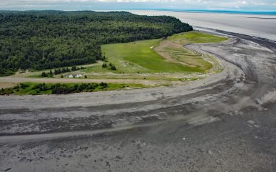
Fire Island, Cook Inlet
Fire Island is about 5.5 miles (8.9 km) long, located at the head of Cook Inlet within the Municipality of Anchorage, about 24 miles (39 km) northwest of Hope and 9 miles (14.5 km) southwest of downtown Anchorage, Alaska.
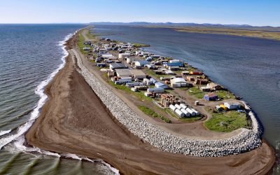
Kivalina, Singauk Entrance
Kivalina is a community located on a barrier island between the Chukchi Sea and Kivalina Lagoon, about 79 miles (127 km) northwest of Kotzebue and 72 miles (116 km) southeast of Point Hope, Alaska.

Port Vita, Raspberry Strait
Port Vita is an abandoned herring reduction plant and saltery located on Raspberry Strait, on the northeastern coast of Raspberry Island, about 31 miles (50 km) northwest of Kodiak and 15 miles (24 km) northwest of Port Lions, Alaska.
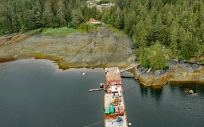
Niblack, Moira Sound
Niblack is a historic mining community at the head of Niblack Anchorage, an estuary that extends west for 2.5 miles (4 km) off Moira Sound, on the southeast coast of Prince of Wales Island, about 28 miles (45 km) southwest of Ketchikan and 28 miles (45 km) southeast of Hydaburg, Alaska.
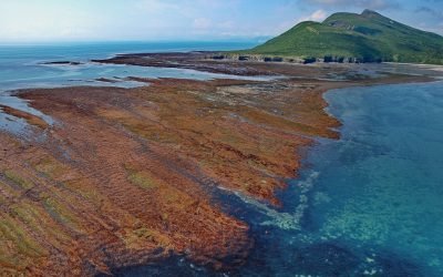
Tignagvik Point, Rocky Cove
Tignagvik Point is a headland on the western shore of Cook Inlet, at the northern point of entrance to Kamishak Bay, about 80 miles (129 km) west-southwest of Homer and 47 miles (76 km) southeast of Iliamna, Alaska
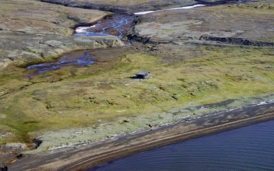
Akeonik Reindeer Station, Icy Cape
Akeonik is a historical reindeer station at the northern end of Kasegaluk Lagoon on the Chukchi Sea at Icy Cape, about 50 miles (81 km) southwest of Wainwright and 46 miles (74 km) northeast of Point Lay, Alaska.
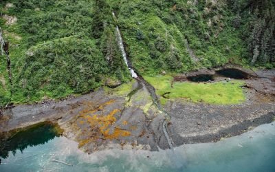
Jackpot Bay, Dangerous Passage
Jackpot Bay is a fjord on the Kenai Peninsula that extends west for 6.5 miles (10.5 km) from Dangerous Passage, about 43 miles (69 km) northeast of Seward and 34 miles (55 km) southeast of Whittier, Alaska.
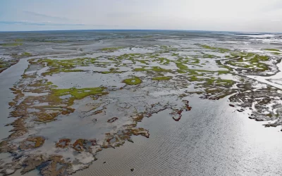
Willow Prospect, National Petroleum Reserve
The Willow Prospect is an oilfield development project on leased federal lands within the Bear Tooth Unit of the National Petroleum Reserve, about 118 miles (190 km) southeast of Utqiaġvik and 33 miles (53 km) west-northwest of Nuiqsut, Alaska.
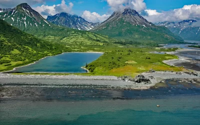
Ursus Cove, Kamishak Bay
Ursus Cove is an embayment about 6 miles (10 km) across, on the northwest coast of Kamishak Bay, about 80 miles (129 km) west-southwest of Homer and 44 miles (71 km) southeast of Iliamna, Alaska.
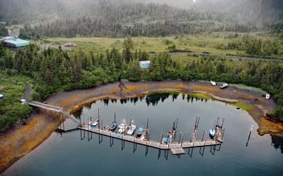
Chenega, Evans Island
Chenega is a village located on the western shore of Crab Bay, on the southeastern coast of Evans Island in Prince William Sound, about 84 miles (135 km) southwest of Cordova and 49 miles (79 km) east of Seward, Alaska.
About the background graphic
This ‘warming stripe’ graphic is a visual representation of the change in global temperature from 1850 (top) to 2019 (bottom). Each stripe represents the average global temperature for one year. The average temperature from 1971-2000 is set as the boundary between blue and red. The colour scale goes from -0.7°C to +0.7°C. The data are from the UK Met Office HadCRUT4.6 dataset.
Click here for more information about the #warmingstripes.