by CoastView | Oct 20, 2026 | 2026, Beaches, Coastal Features, Communities, Developments, Islands, Land Use, Natural History, October 2026, Washington
Listen to the article here https://coastview.org/wp-content/uploads/2026/08/Hedley-Spit-1.wav Hedley Spit is an accretionary deposit, about 3.5 feet (1 m) above sea level, on Bainbridge Island at Point Monroe, just north of Fay Bainbridge Park (long called Fay...
by CoastView | Oct 15, 2026 | 2026, Beaches, Biodiversity, Coastal Features, Communities, Natural History, October 2026, Rivers, Washington
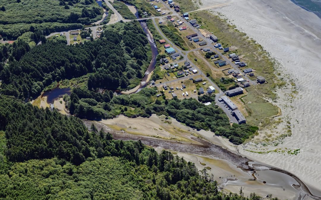
Listen to the article here https://coastview.org/wp-content/uploads/2026/08/Moclips.mp3 Moclips is a low-lying coastal community on the south shore of the Moclips River, bordering Mocrocks Beach, about 83 miles (134 km) west of Tacoma and 27 miles (44 km) northwest of...
by CoastView | Oct 8, 2026 | 2026, Islands, Land Use, October 2026, Parks, Washington
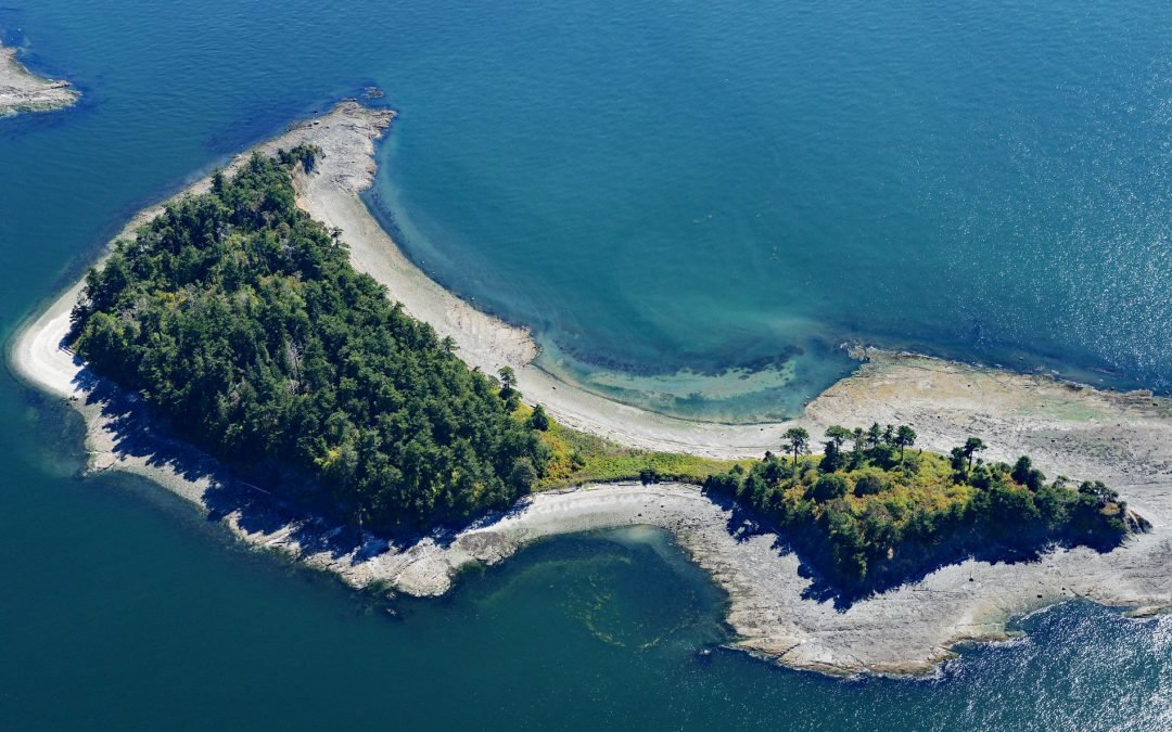
Listen to the article here https://coastview.org/wp-content/uploads/2026/08/LittleSucia.mp3 Little Sucia and Sucia islands belong to an archipelago of ten islands in the San Juan Islands, including Ewing, Justice, Herndon and the Cluster Islands, plus several smaller...

by CoastView | Oct 1, 2026 | 2026, Hatcheries, October 2026, Rivers, Washington
Listen to the article here https://coastview.org/wp-content/uploads/2026/08/Sooes-River.wav The Sooes River, also known as the Tsoo-Yess River, rises in the northwest foothills of the Olympic Mountains and flows 16 miles (26 km) through private timberland and the...
by CoastView | Sep 24, 2026 | 2026, Headlands, Islands, Lighthouses, September 2026, Washington
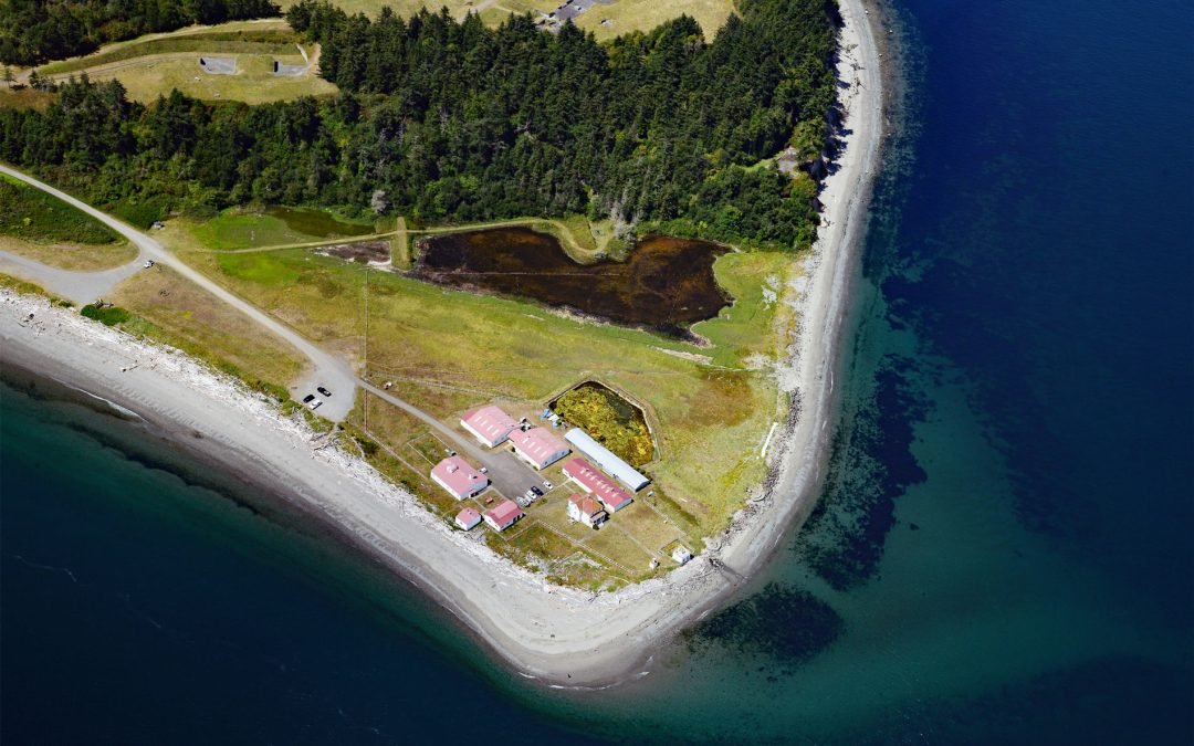
Listen to the article here https://coastview.org/wp-content/uploads/2026/08/Marrowstone.wav Marrowstone Point is a low, broad spit on the north shore of Marrowstone Island that marks the entrance to Port Townsend Bay from Admiralty Inlet, about 38 miles (61 km)...
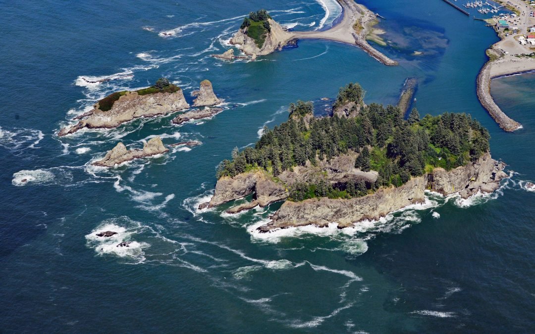
by CoastView | Sep 10, 2026 | 2026, Historical, Islands, Rivers, September 2026, Washington
Listen to the article here https://coastview.org/wp-content/uploads/2026/08/James-Island-WA.wav James Island rises more than 160 feet (49 meters) above the mouth of the Quillayute River, about 32 miles (52 km) south of Neah Bay and 0.6 miles (1 km) west of La Push,...