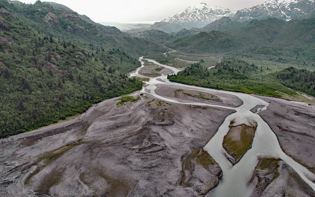
by CoastView | Jul 12, 2026 | 2026, Alaska, Coastal Features, Embayments, Glaciers, July 2026, Natural History, Rivers
Listen to the article here https://coastview.org/wp-content/uploads/2026/03/PrincetonGlacier.mp3 Princeton Glacier drains into Nassau Fjord in Prince William Sound on the east side of the Kenai Peninsula, about 37 miles (60 km) south-southeast of Whittier and 38 miles...
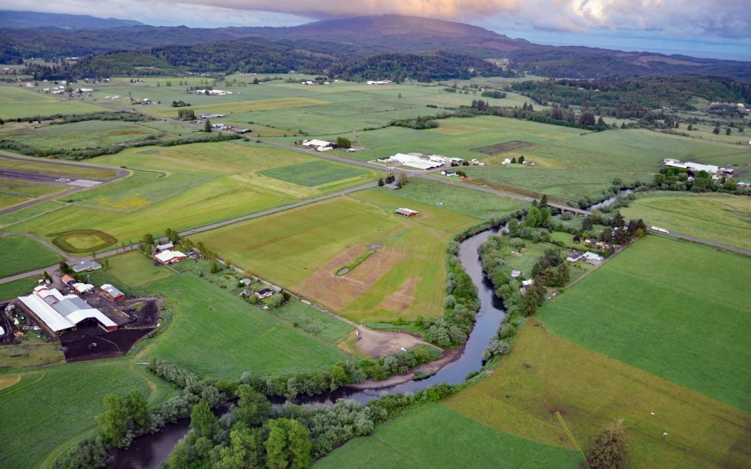
by CoastView | Jul 9, 2026 | 2026, Embayments, July 2026, Land Use, Natural History, Oregon, Rivers
Listen to the article here https://coastview.org/wp-content/uploads/2026/03/TraskRiver.mp3 Trask River drains a mountainous, timber-producing area of the Coast Range into Tillamook Bay, about 57 miles (92 km) west of Portland and 52 miles (84 km) south of Astoria,...
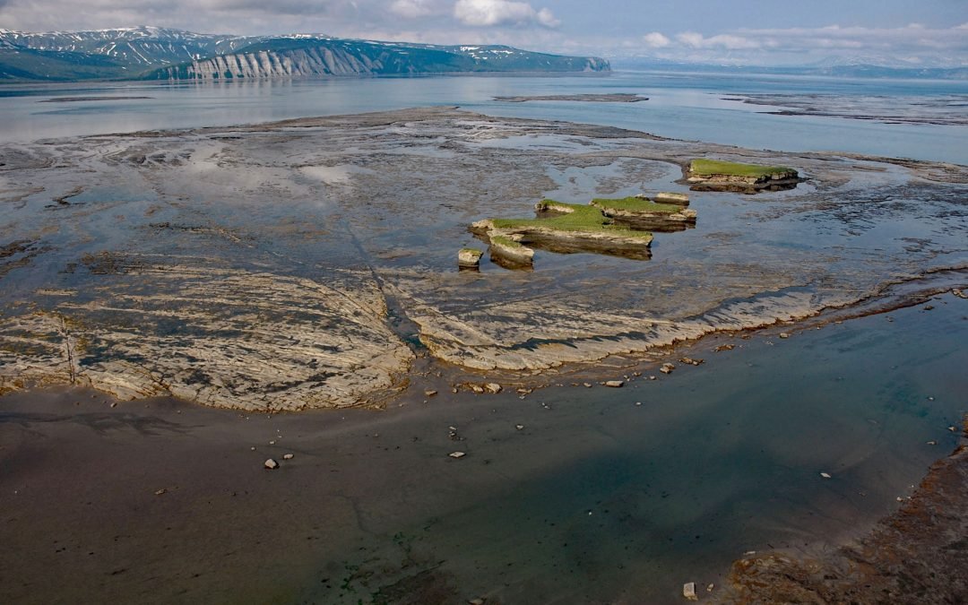
by CoastView | Jul 8, 2026 | 2026, Alaska, Biodiversity, Coastal Features, Embayments, July 2026, Land Use, Natural History, Parks, Rivers
Listen to the article here https://coastview.org/wp-content/uploads/2026/03/DouglasRiver.mp3 Douglas River flows north for 28 miles (45 km) on the Alaska Peninsula to extensive tidal flats in Kamishak Bay, about 108 miles (174 km) northeast of King Salmon and 89 miles...
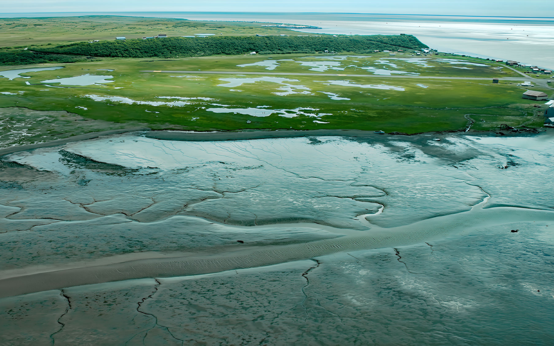
by CoastView | Jul 6, 2026 | 2026, Alaska, Best of 2023, Biodiversity, Canneries, Communities, Embayments, July 2026, Land Use, Natural History, Rivers
Listen to the article here https://coastview.org/wp-content/uploads/2026/03/ClarksPoint.mp3 Clark’s Point is a historic community and former salmon-cannery site on the eastern shore of Nushagak Bay, at the mouth of Clark Slough, about 57 miles (92 km)...

by CoastView | Jul 5, 2026 | 2026, Alaska, Best of 2023, Climate Change, Coastal Features, Embayments, Glaciers, July 2026, Natural History, Parks, Rivers
Listen to the article here https://coastview.org/wp-content/uploads/2026/03/NorthDawesGlacier.mp3 North Dawes Glacier originates in the Stikine Icefield at roughly 5,200 feet (1,585 m) on the western flank of Sheppard Peak and flows southwest for 15 miles (24 km) to a...
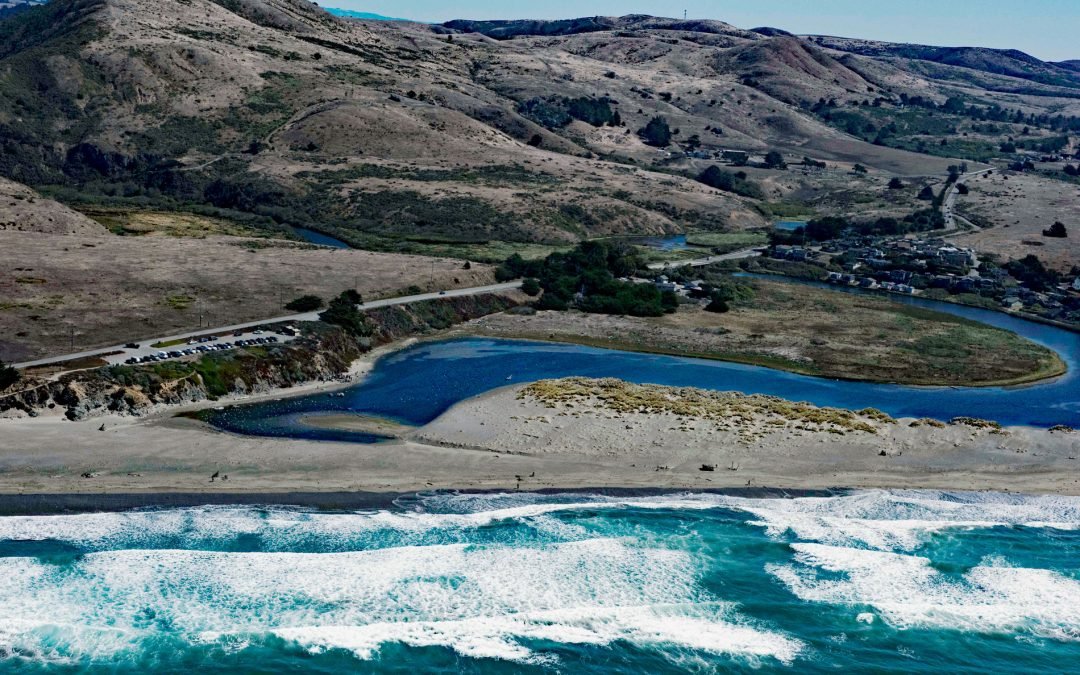
by CoastView | Jul 4, 2026 | 2026, Beaches, Best of 2023, Biodiversity, California, Communities, July 2026, Land Use, Natural History, Parks, Rivers
Listen to the article here https://coastview.org/wp-content/uploads/2026/03/SalmonCreek.mp3 Salmon Creek starts at an elevation of 570 feet (174 m) and flows generally southwest for 19 miles (31 km), draining a watershed of 22,487 acres (9,100 ha) between the Northern...