
British Columbia
Recent Articles
More Articles
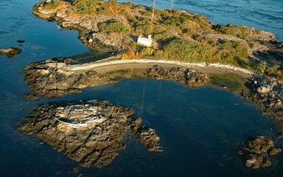
Strongtide Islet, Chatham Islands
Strongtide Islet is part of the Chatham Islands that are off the southern coast of Vancouver Island, about 5.4 miles (8.7 km) east-northeast of Victoria and 2.5 miles (4 km) northeast of Oak Bay, British Columbia.
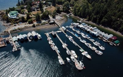
Genoa Bay, Cowichan Bay
Genoa Bay is located between Separation Point and Mount Tzouhalem on the north shore of Cowichan Bay on Vancouver Island, about 33 miles (53 km) southeast of Nanaimo and 5 miles (8 km) east-southeast of Duncan, British Columbia.
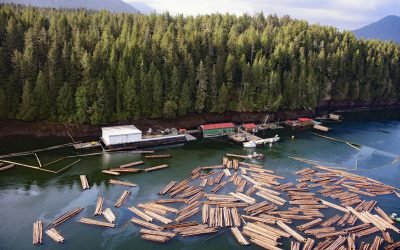
Tuck Inlet, Prince Rupert Harbour
Tuck Inlet is a fjord with a depth of 260 feet (80 m) and a shallow sill of 34 feet (10.5 m) at the entrance, which is part of Prince Rupert Harbour, about 91 miles (147 km) southeast of Ketchikan and on the waterfront of Prince Rupert, British Columbia.
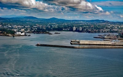
Ogden Point, Victoria
Ogden Point is a deepwater port facility and cruise ship terminal located 21 miles (34 km) north of Port Angeles and 1 mile (1.6 km) southwest of downtown Victoria, British Columbia.
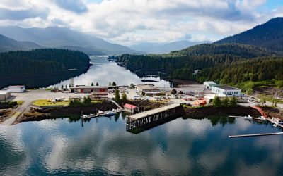
Aero Point, Seal Cove
Aero Point is on the eastern shore of Seal Cove, a small embayment in Prince Rupert Harbour on the north coast of Kaien Island, at the entrance to Fern Passage, about 90 miles (145 km) southeast of Ketchikan and 2 miles (3.2 km) northeast of downtown Prince Rupert, British Columbia.
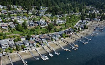
Pleasantside, Port Moody
Pleasantside is a residential neighbourhood located on the northern shore of Port Moody, which is the eastern extension of Burrard Inlet, about 12 miles (19 km) east of Vancouver and 1.5 miles (2.4 km) northwest of the community of Port Moody, British Columbia.
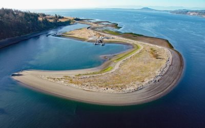
James Island Spit, Cordova Channel
James Island is one of the Southern Gulf Islands lying in Haro Strait, approximately 1.5 miles (2.4 km) off the coast of Vancouver Island, and 12 miles (19 km) north of Victoria, British Columbia.
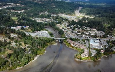
Millstream Creek, Esquimalt Harbour
Millstream Creek is a salmon-bearing stream that drains a watershed with an area of 6,424 acres (2,600 ha) of lakes and wetlands over a distance of 8 miles (12.5 km) before it flows into a tidal estuary in Esquimalt Harbour, about 4.8 miles (7.7 km) northwest of Victoria and 1.8 miles (3 km) east of Langford, British Columbia.
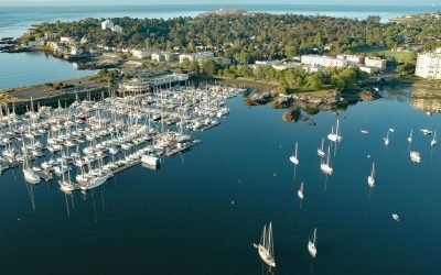
Turkey Head, Oak Bay
Turkey Head is a small peninsula that forms a natural harbour on the southern shore of Oak Bay, 3 miles (4.8 km) east of downtown Victoria, British Columbia.
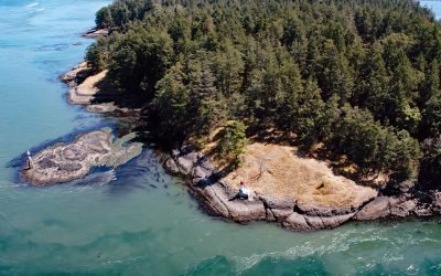
Helen Point, Mayne Island
Helen Point is located on the northwestern corner of Mayne Island, and has a light and range marker to aid navigation through Active Pass, about 32 miles (52 km) southwest of Vancouver and 14.5 miles (23 km) north-northeast of Sidney, British Columbia.
About the background graphic
This ‘warming stripe’ graphic is a visual representation of the change in global temperature from 1850 (top) to 2019 (bottom). Each stripe represents the average global temperature for one year. The average temperature from 1971-2000 is set as the boundary between blue and red. The colour scale goes from -0.7°C to +0.7°C. The data are from the UK Met Office HadCRUT4.6 dataset.
Click here for more information about the #warmingstripes.