
Oregon
Recent Articles
More Articles
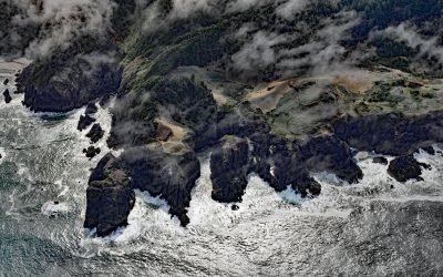
Indian Sands, Samuel H. Boardman State Scenic Corridor
Indian Sands is an archaeological site in Samuel H. Boardman State Park, about 9 miles (14.5 km) northwest of Brookings and 4.5 miles (7.3 km) southwest of Carpenterville, Oregon.
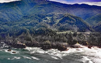
Natural Bridges Cove, Oregon Coast Trail
Natural Bridges Cove is an ancient punchbowl, or littoral sinkhole, along the Oregon Coast Trail in Samuel H. Boardman State Park, about 10.5 miles (17 km) northwest of Brookings and 6.5 miles (10.5 km) south-southeast of Pistol River, Oregon.
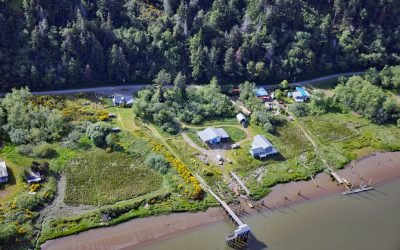
Prosper, Coquille River
Prosper is a historical community on the Coquille River, about 10 miles (16 km) west-southwest of Coquille and 3 miles (5 km) northeast and upstream of Bandon, Oregon.
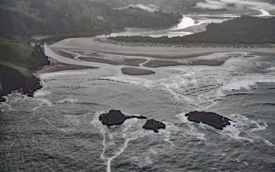
Salmon River Estuary, Cascade Head
Salmon River flows for about 24 miles from the Central Oregon Coast Range, through the Siuslaw National Forest, to the Pacific Ocean south of Cascade Head, about 73 miles (118 km) southwest of Portland and 6 miles (10 km) north of Lincoln City, Oregon.
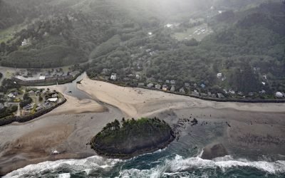
Proposal Rock, Neskowin Creek
Proposal Rock is at the mouth of the Neskowin Creek, about 10 miles (16 km) north-northeast of Lincoln City and 0.5 miles (0.8 km) south-southwest of the community of Neskowin, Oregon.
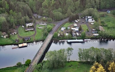
Taylors Landing, Alsea River
Taylors Landing is a small community near the head of the tide on the Alsea River in the Coast Range, about 17.4 miles (28 km) west of Alsea and 6.4 miles (10 km) east-southeast of Waldport, Oregon.
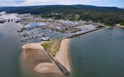
Oregon Institute of Marine Biology, Charleston
The Oregon Institute of Marine Biology is the marine station of the University of Oregon located a the mouth of Coos Bay, about 7 miles (11.3 km) southwest of North Bend and 0.3 miles (0.5 km) north of Charleston, Oregon.
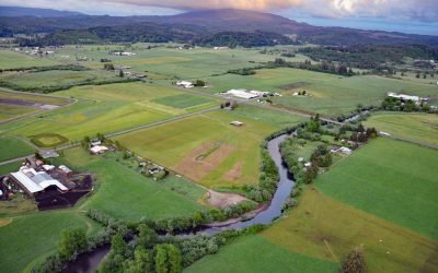
Trask River, Tillamook Bay
Trask River is in northwestern Oregon, draining a mountainous timber-producing area of the Coast Range into Tillamook Bay, about 57 miles (92 km) west of Portland and 52 miles (84 km) south of Astoria, Oregon.
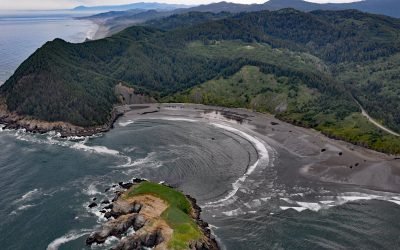
Hunters Cove, Cape Sebastian
Hunters Cove is on the south side of Cape Sebastian, a prominent headland in Cape Sebastian State Scenic Corridor, about 20 miles (32 km) north-northwest of Brooking and 6.3 miles (10 km) south of Gold Beach, Oregon.
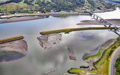
Mary D. Hume, Rogue River
Mary D. Hume sank in 1984 on the south bank of the Rogue River during a restoration effort to convert the vessel to a museum ship for the Curry County Historical Society and now rests on the bottom in shallow water with a portion of the hull and superstructure exposed at low tide near Gold Beach, Oregon.
About the background graphic
This ‘warming stripe’ graphic is a visual representation of the change in global temperature from 1850 (top) to 2019 (bottom). Each stripe represents the average global temperature for one year. The average temperature from 1971-2000 is set as the boundary between blue and red. The colour scale goes from -0.7°C to +0.7°C. The data are from the UK Met Office HadCRUT4.6 dataset.
Click here for more information about the #warmingstripes.