
Mines
Recent Articles
More Articles
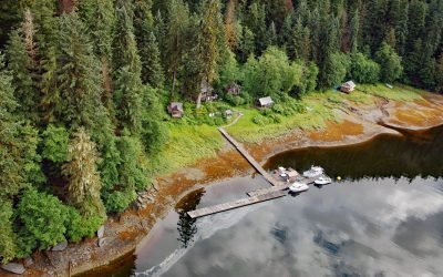
Windham, Windham Bay
Windham is a settlement that historically supported mining operations along Spruce Creek at the head of Windham Bay, about 63 miles (102 km) southeast of Juneau and 57 miles (92 km) north-northwest of Petersburg, Alaska.

Sumdum Glacier, Powers Creek
Sumdum Glacier starts on the south flank of Mount Sumdum with a summit elevation of 6,666 feet (2,032 m) and flows southwest to a hanging terminus at 2,100 feet (640 m) and the start of Powers Creek that flows 2 miles (3.2 km) to the eastern shore of Endicott Arm, about 89 miles (144 km) northeast of Sitka and 50 miles (81 km) southeast of Juneau, Alaska.
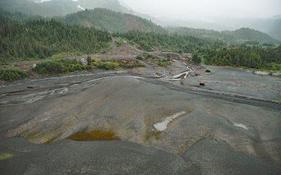
Beatson Copper Mine, Latouche Island
Beatson Copper Mine and the abandoned mining community of Latouche are situated at the base of Mount Beatson and adjacent to Powder Point near the northwest tip of Latouche Island in Prince William Sound, about 82 miles (132 km) southwest of Cordova and 57 miles (92 km) southeast of Whittier, Alaska.
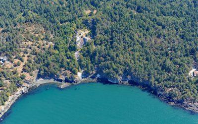
Lime Kiln Point, San Juan Island
Lime Kiln Point is a state park of 42 acres (17 ha) and the site of a historic limestone quarry and kiln on the western shore of San Juan Island, about 6 miles (10 km) south of Roche Harbor and 6 miles (10 km) west of Friday Harbor, Washington.
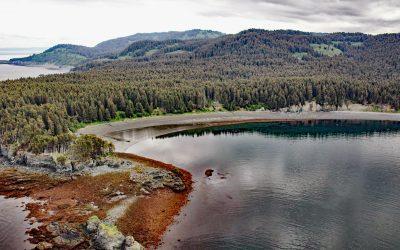
Coal Cove, Port Graham
Coal Cove is the site of a historic Russian coal mine at Dangerous Cape on the north shore entrance to Port Graham near the southern end of the Kenai Peninsula, about 7 miles (11 km) southwest of Seldovia and 3 miles (5 km) north-northeast of Nanwalek, Alaska.
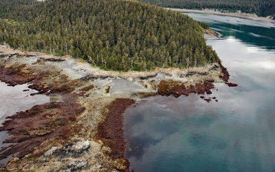
Claim Point, Chrome Bay
Claim Point forms the western shore of Chrome Bay at the northern entrance to Port Chatham on the Kenai Peninsula, the site of a historical chromite mine, about 100 miles (162 km) north-northwest of Kodiak and 33 miles (53 km) south-southwest of Homer, Alaska.
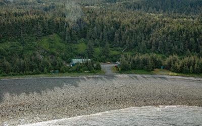
Kensington Mine, Lynn Canal
Kensington is a complex of underground mines and associated milling facilities on the southern flank of Lions Head Mountain in the Kakuhan Range between Lynn Canal to the west and Berners Bay to the east, about 47 miles (76 km) west-northwest of Juneau and 28 miles (45 km) south-southeast of Haines, Alaska.
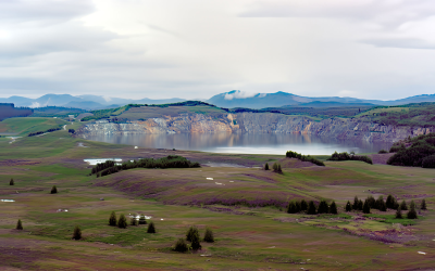
Island Copper Mine, Rupert Inlet
Island Copper was an open pit mine located at the northern end of Vancouver Island on Rupert Inlet at the head of Quatsino Sound, about 4.6 miles (7.4 km) east of Coal Harbour and 8.5 miles (14 km) south of Port Hardy, British Columbia.
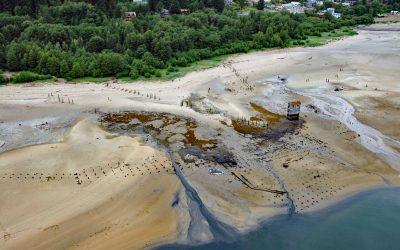
Treadwell Mine, Douglas Island
Treadwell is a historical gold mine on the eastern coast of Douglas Island on Gastineau Channel, about 1.2 miles (1.9 km) southeast of the community of Douglas and 3 miles (4.8 km) southeast of Juneau, Alaska.
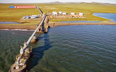
Red Dog Mine, Chukchi Sea
Red Dog is a zinc and lead mine about 46 miles (74 km) inland from the Chukchi Sea coast and connected by road to an export terminal, about 62 miles (100 km) northwest of Kotzebue and 16 miles (26 km) southeast of Kivalina, Alaska.
About the background graphic
This ‘warming stripe’ graphic is a visual representation of the change in global temperature from 1850 (top) to 2019 (bottom). Each stripe represents the average global temperature for one year. The average temperature from 1971-2000 is set as the boundary between blue and red. The colour scale goes from -0.7°C to +0.7°C. The data are from the UK Met Office HadCRUT4.6 dataset.
Click here for more information about the #warmingstripes.