
Alaska
Recent Articles
More Articles
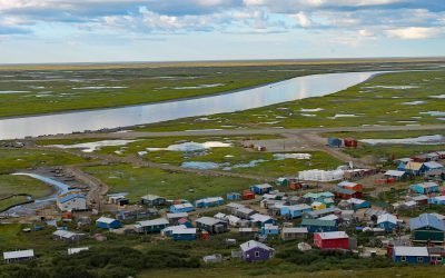
Scammon Bay, Kun River
Scammon Bay is a small community at the base of the Askinuk Mountains, on the left bank and about 1 mile (1.6 km) upstream from the mouth of the Kun River in the Yukon-Kuskokwim Delta, about 147 miles (237 km) northwest of Bethel and 73 miles (118 km) southwest of Emmonak, Alaska.
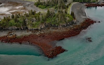
Lancashire Rocks, Kachemak Bay
Lancashire Rocks are a group of offshore rocks and reefs on the western edge of Neptune Bay along the eastern shore of Kachemak Bay, about 13 miles (21 km) northeast of Seldovia and 8 miles (13 km) southeast of Homer, Alaska.
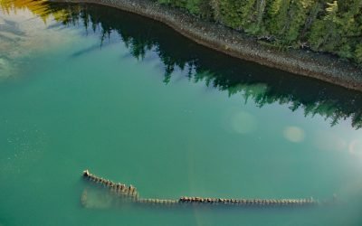
McLean Arm Bay, Prince of Wales Island
McLean Arm Bay is a narrow inlet that extends 6.5 miles (10.5 km) west from Clarence Strait, on the southeast coast of Prince of Wales Island, about 40 miles (65 km) southwest of Ketchikan and 40 miles (65 km) southeast of Hydaburg, Alaska.
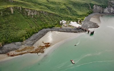
Snug Harbor, Chisik Island
Snug Harbor is a historical cannery located along a bight on the west coast of Chisik Island, at the southern end of Tuxedni Channel, on the western shore of Cook Inlet, about 51 miles (82 km) northwest of Homer and 56 miles (90 km) southwest of Kenai, Alaska.

King Cove, Alaska Peninsula
King Cove is a small community on the Alaska Peninsula located partially on a spit separating King Cove Bay and King Cove Lagoon, about 18 air miles (29 km) southeast of the village of Cold Bay, Alaska.
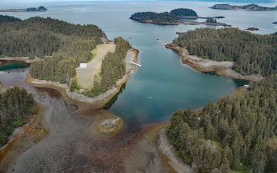
Bootlegger Cove, Kachemak Bay
Bootlegger Cove is the local name for a small shallow embayment, also known as Little Jakolof Bay, on the southeastern shore of Kachemak Bay, about 12 miles (19 km) south of Homer and 7.6 miles (12 km) northwest of Seldovia, Alaska.
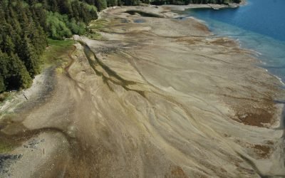
Ross Adams Mine, Kendrick Bay
The Ross Adams Mine is a historical uranium-thorium site located on Kendrick Bay in the Tongass National Forest on the southeastern slopes of Bokan Mountain, about 33 miles (53 km) southeast of Hydaburg and 38 miles (61 km) southwest of Ketchikan, Alaska.

Funter Bay, Admiralty Island
Funter Bay is located on the west coast of the Mansfield Peninsula on Admiralty Island, approximately 32 miles (52 km) southeast of Gustavus and 14 miles (23 km) southwest of Juneau, Alaska.
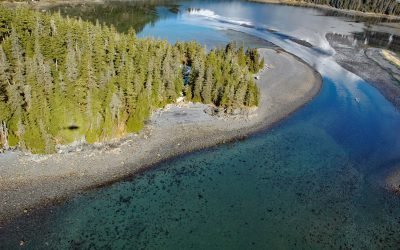
Harrison Lagoon, Prince William Sound
Harrison Lagoon is about 0.5 miles (800 m) across, located on the west side of Port Wells in Prince William Sound, 66 miles (106 km) west-southwest of Valdez and 22 miles (35.5 km) northeast of Whittier, Alaska.
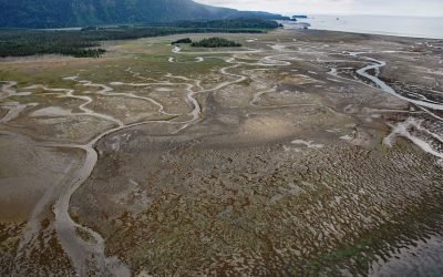
China Poot Bay, Kachemak Bay
China Poot Bay is a lagoon that dries at low tide to expose a tidal flat 2.5 miles (4 km) wide, located on the southeastern shore of Kachemak Bay, 15.5 miles (25 km) northeast of Seldovia and 9.5 miles (15 km) southeast of Homer, Alaska.
About the background graphic
This ‘warming stripe’ graphic is a visual representation of the change in global temperature from 1850 (top) to 2019 (bottom). Each stripe represents the average global temperature for one year. The average temperature from 1971-2000 is set as the boundary between blue and red. The colour scale goes from -0.7°C to +0.7°C. The data are from the UK Met Office HadCRUT4.6 dataset.
Click here for more information about the #warmingstripes.