
Alaska
Recent Articles
More Articles
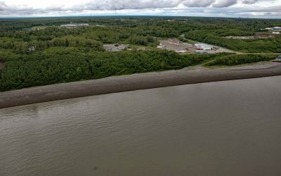
Nikiski Bay, Cook Inlet
Nikiski Bay, formerly known as Nikishka Bay, is a bight in Upper Cook Inlet that extends southwest for 4 miles (6.5 km) from Boulder Point along the southeast shore of Gompertz Channel, 1 mile (1.6 km) north of the community of Nikiski and about 14 miles (22.6 km) north of Kenai, Alaska.
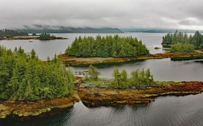
Coco Harbor, Dall Island
Coco Harbor is an estuary that extends west for 3 miles (4.8 km) from Baldy Bay, off Tlevak Strait, on the east coast of Dall Island, Alaska.
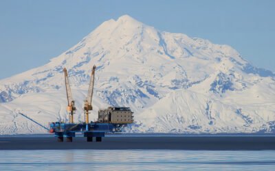
Redoubt Volcano, Drift River
Redoubt Volcano has a summit elevation of 10,197 feet (3,109 m) in the Aleutian Range on the Alaska Peninsula, and is located between the Drift River to the north and Crescent River to the south, about 9 miles (14.5 km) northeast of Crescent Lake and 52 miles (84 km) west of Kenai, Alaska.
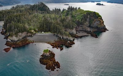
Hesketh Island, Kachemak Bay
Hesketh Island is about 1.2 miles (1.9 km) long, located on the southern shore of Kachemak Bay, 9.5 miles (15 km) south of Homer and 8 miles (13 km) northeast of Seldovia, Alaska.
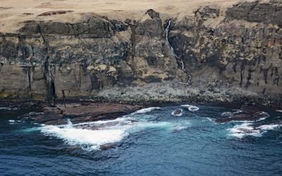
Ugamak Island, Krenitzin Islands
Ugamak Island is approximately 5.2 miles (8.4 km) long and located in the Krenitzen Islands group, about 75 miles (121 km) northeast of Unalaska and 36 miles (58 km) east of Akutan, Alaska.

Pilot Point, Ugashik Bay
Pilot Point is a community on the eastern shore of Ugashik Bay, on the north coast of the Alaska Peninsula, 83 miles (134 km) south-southwest of King Salmon and 7 miles (11 km) northwest of Ugashik, Alaska.
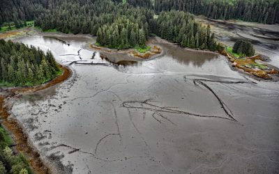
Port Camden, Kuiu Island
Port Camden is an embayment on the northeast coast of Kuiu Island, about 36 miles (58 km) south-southwest of Petersburg, and 61 miles (98 km) northwest of Wrangell, Alaska.
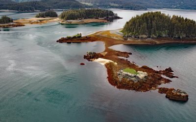
Herring Islands, Kachemak Bay
The Herring Islands are located at the entrance to Tutka Bay, on the southern shore of Kachemak Bay, 11 miles (18 km) south of Homer and 8 miles (13 km) northeast of Seldovia, Alaska.

Todd Cannery, Peril Strait
Todd is an abandoned cannery and a historical settlement on Lindenberg Harbor in Peril Strait, on the southern coast of Chichagof Island, 9 miles (15 km) west of Chatham Strait and 32 air miles (52 km) north-northeast of Sitka, Alaska.
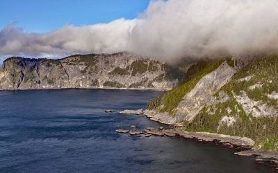
Star of Bengal, China Cove
Star of Bengal is a shipwreck near China Cove, a small embayment about 1.7 miles (2.7 km) wide on the southeastern coast of Coronation Island, situated between Chatham and Sumner Straits, 93 miles (150 km) south-southeast of Sitka and 106 miles (171 km) northwest of Ketchikan, Alaska.
About the background graphic
This ‘warming stripe’ graphic is a visual representation of the change in global temperature from 1850 (top) to 2019 (bottom). Each stripe represents the average global temperature for one year. The average temperature from 1971-2000 is set as the boundary between blue and red. The colour scale goes from -0.7°C to +0.7°C. The data are from the UK Met Office HadCRUT4.6 dataset.
Click here for more information about the #warmingstripes.