
Alaska
Recent Articles
More Articles
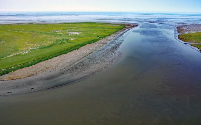
Chefornak, Kinia River
Chefornak is a small village, 16 miles (26 km) upriver from Etolin Strait on the Bering Sea, at the junction of the Keguk and Kinia Rivers, on the Yukon-Kuskokwim Delta about 93 miles (150 km) southwest of Bethel, Alaska.
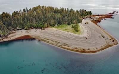
Cohen Island, Kachemak Bay
Cohen Island is about 0.3 miles (0.5 km) across, located at the north entrance to Eldred Passage, on the eastern shore of Kachemak Bay, 8 miles (13 km) south of Homer, Alaska.
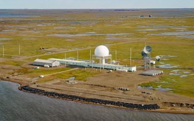
Oliktok Point, Beaufort Sea
Oliktok Point marks the eastern entrance to Harrison Bay on the Beaufort Sea, situated approximately 16 miles (26 km) west of Beechey Point, 35 miles (56 km) northeast of Nuiqsut, and 35 miles (56 km) northwest of Prudhoe Bay, Alaska.
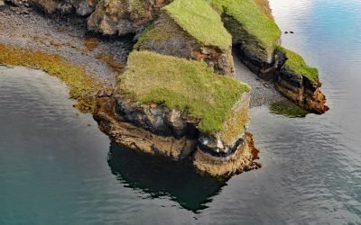
Uyak Bay, Kodiak Island
Uyak Bay extends south-southeast for 40 miles (65 km) from Shelikof Strait on the northwest coast of Kodiak Island, about 59 miles (95 km) west-southwest of Kodiak, Alaska.
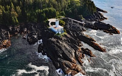
Cape Decision, Kuiu Island
Cape Decision is a headland on the southern end of Kuiu Island in Southeast Alaska, 105 miles (169 km) northwest of Ketchikan and 75 miles (121 km) southwest of Wrangell, Alaska.

Oldmans Bay, Kalgin Island
Oldmans Bay is about 3 miles (4.8 km) across, located on the west coast of Kalgin Island in Cook Inlet, 55 miles (89 km) northwest of Homer and 30 miles (48 km) west-southwest of Kenai, Alaska.
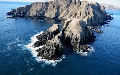
Egg Island, Sedanka Pass
Egg Island is about 0.7 miles (1.1 km) wide, located 2 miles (3.2 km) northeast across Sedanka Pass from Cape Sedanka on Sedanka Island and 1.4 miles (2.3 km) southeast of Old Man Rocks in the Fox Islands of the Aleutian Archipelago, about 22 miles (35 km) southwest of Akutan and 20 miles (32 km) east-southeast of Dutch Harbor, Alaska.
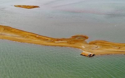
Igalik Island, Dease Inlet
Igalik Island is an Arctic barrier island, the easternmost of the Plover Islands, approximately 2.5 miles (4 km) long, located at the entrance to Dease Inlet, about 36 miles (58 km) east-southeast of Utqiagvik, Alaska.
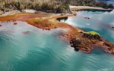
Yukon Island, Kachemak Bay
Yukon Island, approximately 1.5 miles (2.4 km) long, is situated on the southeastern shore of Kachemak Bay, about 9 miles (14.5 km) south of Homer, Alaska.
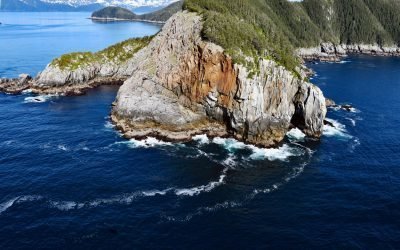
Kitten Pass, Pye Islands
Kitten Pass is a water passage between Rabbit Island and Outer Island, in the Pye Islands group of the Alaska Maritime Wildlife Refuge, about 48 miles (77 km) east-southeast of Seldovia, and 63 miles (102 km) southwest of Seward, Alaska.
About the background graphic
This ‘warming stripe’ graphic is a visual representation of the change in global temperature from 1850 (top) to 2019 (bottom). Each stripe represents the average global temperature for one year. The average temperature from 1971-2000 is set as the boundary between blue and red. The colour scale goes from -0.7°C to +0.7°C. The data are from the UK Met Office HadCRUT4.6 dataset.
Click here for more information about the #warmingstripes.