
Alaska
Recent Articles
More Articles
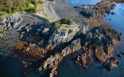
Seal Island, Prince William Sound
Seal Island is forested and uninhabited, about 0.5 miles (0.8 km) across, and located in Prince William Sound, about 7 miles (11 km) east of Knight Island, and 58 miles (93 km) west-southwest of Cordova, Alaska.
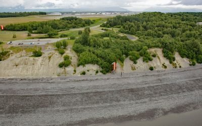
Point Woronzof, Knik Arm
Point Woronzof is a headland in Cook Inlet on the south coast of Knik Arm, 4 miles (6.5 km) west of downtown Anchorage, Alaska.
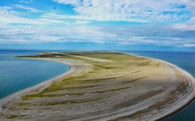
Point Spencer, Port Clarence
Point Spencer is the north end of a spit about 19 miles (31 km) long, between the Bering Sea and Port Clarence, on the Seward Peninsula, about 14 miles (23 km) west of Teller, Alaska.
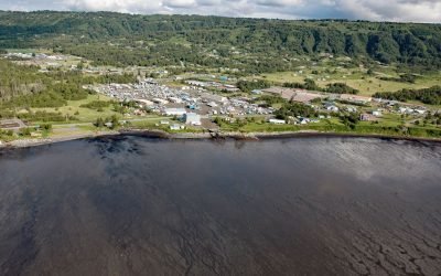
Millers Landing, Kachemak Bay
Millers Landing is on the north shore of Kachemak Bay, on the Kenai Peninsula, about 4 miles (6.5 km) northwest of Homer, Alaska.
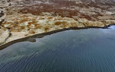
Morzhovoi, Bechevin Bay
Morzhovoi is an abandoned village on the southern shore of Trader Cove and the eastern shore of Bechevin Bay, on the Alaska Peninsula, about 5.5 miles (8.9 km) northeast of False Pass, Alaska.

Mush Bay, East Arm Uganik Bay
Mush Bay is a local name for a shallow embayment on the western shore of the East Arm of Uganik Bay on Kodiak Island’s west coast, about 22 miles (35 km) northeast of Larsen Bay and 40 miles (65 km) west-southwest of Kodiak, Alaska.

Morse and Muir Glaciers, Glacier Bay National Park and Preserve
Morse and Muir glaciers terminate at the head of Muir Inlet in Glacier Bay National Park and Preserve, approximately 53 miles (85 km) north of Gustavus, Alaska.
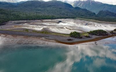
Aurora Lagoon, Kachemak Bay
Aurora Lagoon is on the southern shore of Kachemak Bay, on the Kenai Peninsula, about 15 miles (24 km) northeast of Homer, Alaska.
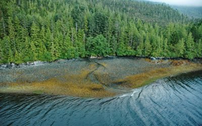
Copper City, Hetta Inlet
Copper City is an abandoned mining community located on the eastern shore of Hetta Inlet, on the southwest coast of Prince of Wales Island, about 5.5 miles (9 km) north of Lime Point and 10 miles (16 km) southeast of Hydaburg.
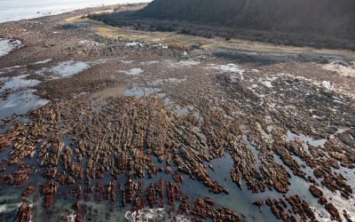
Cape Cleare, Montague Island
Cape Cleare is a headland on the southwest end of Montague Island, at the entrance to Montague Strait that leads to Prince William Sound, about 60 miles (97 km) southeast of Seward, Alaska.
About the background graphic
This ‘warming stripe’ graphic is a visual representation of the change in global temperature from 1850 (top) to 2019 (bottom). Each stripe represents the average global temperature for one year. The average temperature from 1971-2000 is set as the boundary between blue and red. The colour scale goes from -0.7°C to +0.7°C. The data are from the UK Met Office HadCRUT4.6 dataset.
Click here for more information about the #warmingstripes.