
Alaska
Recent Articles
More Articles
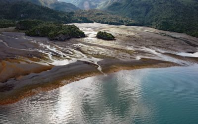
Mallard Bay, Portlock River
Mallard Bay is on the southern shore of Kachemak Bay on the Kenai Peninsula and adjacent to the mouth of the Portlock River, approximately 14 miles (23 km) east-northeast of Homer and 4 miles (6 km) south-southwest of Bear Cove, Alaska.
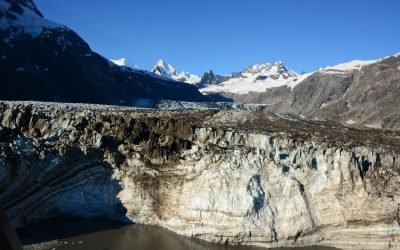
Johns Hopkins Glacier, Glacier Bay National Park and Preserve
Johns Hopkins Glacier flows generally east-northeast for 13 miles (21 km) to the head of Johns Hopkins Inlet in Glacier Bay National Park and Preserve, about 104 miles (167 km) southeast of Yakutat and 58 miles (93 km) northwest of Gustavus, Alaska.
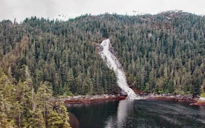
Kasnyku Falls, Waterfall Cove
Kasnyku Falls is a waterfall located on Kasnyku Creek that drains Kasnyku Lake from an elevation of 650 feet (198 m) on the northeast coast of Baranof Island and flows about 1 mile (1.6 km) to Waterfall Cove on Chatham Strait, about 23 miles (37 km) south-southwest of Angoon and 21 miles (34 km) northeast of Sitka, Alaska.

Ukivok, King Island
Ukivok is a historic Iñupiat village on Uġiuvak Island, also known as King Island, situated in the Bering Sea, approximately 86 miles (138 km) west-northwest of Nome and 45 miles (73 km) south of Wales, Alaska.
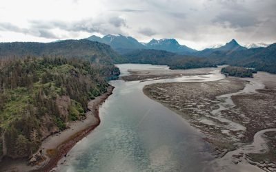
Moss Harbor, China Poot Bay
Moss Harbor is a low tide lagoon at the head of China Poot Bay on the southern shore of Kachemak Bay, about 17 miles (27 km) northeast of Seldovia and 10 miles (16 km) southeast of Homer, Alaska.
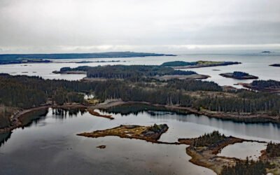
Carry Inlet, Shuyak Island
Carry Inlet is an embayment about 0.5 miles (0.9 km) across that extends for 3 miles (5 km) into the northwest coast of Shuyak Island in the Kodiak Archipelago, about 81 miles (130 km) south-southwest of Homer and 56 miles (90 km) north of Kodiak, Alaska.
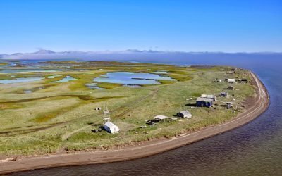
Sheshalik Spit, Kotzebue Sound
Sheshalik is a spit about 6 miles (10 km) long consisting of accretionary beach ridges with some lagoons situated in Cape Krusenstern National Monument on Kotzebue Sound, about 40 miles (64 km) south of Noatak and 10 miles (16 km) northwest of Kotzebue, Alaska.
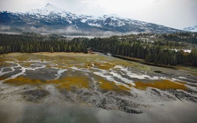
Cannery Creek, Unakwik Inlet
Cannery Creek is the site of a salmon hatchery on the eastern shore of Unakwik Inlet in Prince William Sound and the Chugach National Forest, about 42 miles (68 km) northeast of Whittier and 41 miles (66 km) west-southwest of Valdez, Alaska.
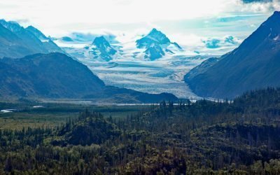
Grewingk Glacier, Kachemak Bay
Grewingk Glacier starts in the Kenai Mountains and flows generally northwest for 11 miles (18 km) to a proglacial lake about 2 miles (3.2 km) long that is drained by Grewingk Creek that flows 3.5 miles (6 km) to the southern shore of Kachemak Bay, about 25 miles (40 km) northeast of Seldovia and 16 miles (25 km) east-southeast of Homer, Alaska.
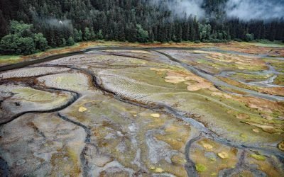
Limestone Inlet, Stephens Passage
Limestone Inlet, 0.25 miles (0.4 km) wide, extends about 2 miles (3.2 km) into the mainland from the eastern shore of Stephens Passage, approximately 84 miles (135 km) northeast of Sitka and 25 miles (40 km) southeast of Juneau, Alaska.
About the background graphic
This ‘warming stripe’ graphic is a visual representation of the change in global temperature from 1850 (top) to 2019 (bottom). Each stripe represents the average global temperature for one year. The average temperature from 1971-2000 is set as the boundary between blue and red. The colour scale goes from -0.7°C to +0.7°C. The data are from the UK Met Office HadCRUT4.6 dataset.
Click here for more information about the #warmingstripes.