
Alaska
Recent Articles
More Articles
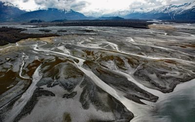
Old Valdez Townsite, Valdez Glacier Stream
Old Valdez was the original townsite of Valdez built on the outwash plain formed by Valdez Glacier which is drained by Valdez Glacier Stream that flows generally south-southeast for 4.5 miles (7 km) to Port Valdez in Prince William Sound, about 43 miles (69 km) north-northwest of Cordova and 3.7 miles (6 km) southeast of Valdez, Alaska.
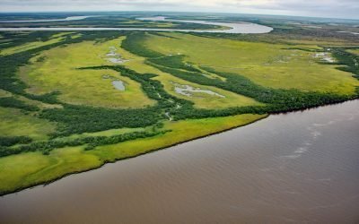
Eek River, Kuskokwim Delta
Eek River drains a watershed of 408,959 acres (165,500 ha) and flows generally west-northwest for 108 miles (174 km) to the Kuskokwim Delta, about 40 miles (64 km) south-southwest of Bethel and 32 miles (51 km) north of Quinhagak, Alaska.
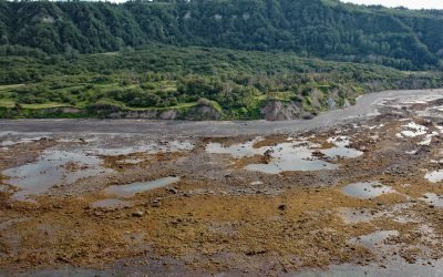
Bluff Point, Kachemak Bay
Bluff Point is a prominent headland near the north shore entrance to Kachemak Bay with an elevation ranging from approximately 300 to 700 feet (100 to 215 m), about 12 miles (19 km) southeast of Anchor Point and 4 miles (6 km) west of Homer, Alaska.
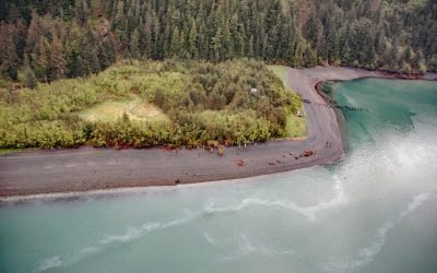
Shepard Point, Orca Inlet
Shepard Point is an alluvial fan on the eastern shore of Orca Inlet in Prince William Sound at Nelson Bay, which is an estuary mostly formed by the Rude River, about 41 miles (66 km) southeast of Valdez and 7 miles (11.3 km) north-northeast of Cordova, Alaska.
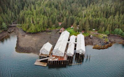
George Inlet, Revillagigedo Island
George Inlet is a deglaciated fjord that extends generally north into Revillagigedo Island for about 19 miles (31 km) from Revillagigedo Channel to Salt Lagoon, with a historical cannery situated on the western shore, about 87 miles (140 km) northwest of Prince Rupert and 9 miles (15 km) east-northeast of Ketchikan, Alaska.
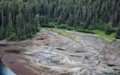
Dundas Bay, Glacier Bay National Park and Preserve
Dundas Bay is located on the north shore of Icy Strait in Glacier Bay National Park and Preserve, about 24 miles (39 km) west of Gustavus and 11 miles (18 km) north of Elfin Cove, Alaska.
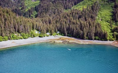
San Juan Cove, Tutka Bay
San Juan Cove is a small embayment on the north shore of Tutka Bay, a deglaciated fjord on the southern shore of Kachemak Bay in the Kenai Mountains in Kachemak Bay State Park, about 13 miles (21 km) south-southeast of Homer and 11 miles (18 km) east-northeast of Seldovia, Alaska.
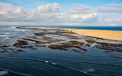
Samalga, Fox Islands
Samalga Island is 4 miles (6 km) long and 0.5 miles (0.8 km) wide located between Umnak Island to the east and the Islands of Four Mountains to the west, approximately 317 miles (510 km) east-northeast of Adak and 18 miles (29 km) southwest of Nikolski, Alaska.
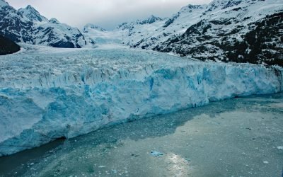
Meares Glacier, Unakwik Inlet
Meares Glacier starts at an elevation of about 7200 feet (2195 m) in the Chugach Mountains between Mount Michelson to the north and Columbia Peak to the south and trends generally southwest for 16 miles (26 km) to Unakwik Inlet in Prince William Sound, about 47 miles (76 km) northeast of Whittier and 40 miles (64 km) west of Valdez, Alaska.
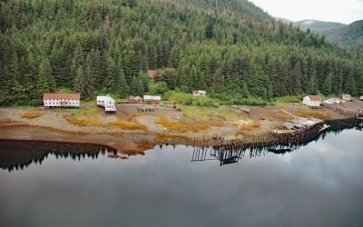
Chatham Cannery, Sitkoh Bay
Chatham is a historical salmon cannery and village on the west shore of Sitkoh Bay on Chichagof Island in the Alexander Archipelago of Southeast Alaska, about 58 miles (93 km) south-southwest of Juneau and 13 miles (21 km) west of Angoon, Alaska.
About the background graphic
This ‘warming stripe’ graphic is a visual representation of the change in global temperature from 1850 (top) to 2019 (bottom). Each stripe represents the average global temperature for one year. The average temperature from 1971-2000 is set as the boundary between blue and red. The colour scale goes from -0.7°C to +0.7°C. The data are from the UK Met Office HadCRUT4.6 dataset.
Click here for more information about the #warmingstripes.