
Alaska
Recent Articles
More Articles
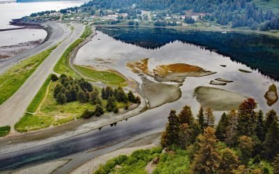
Nanwalek, English Bay
Nanwalek is a community on English Bay, a small embayment on the eastern shore of lower Cook Inlet at the southern entrance to Port Graham on the Kenai Peninsula, about 24 miles (38 km) southwest of Homer and 3.4 miles (5.5 km) west of the village of Port Graham, Alaska.
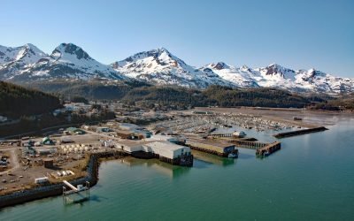
Cordova, Orca Inlet
Cordova is a community on the southeastern shore of Orca Inlet across from Hawkins Island in eastern Prince William Sound, about 100 miles (160 km) east-southeast of Whittier and 45 miles (72 km) south-southeast of Valdez, Alaska.
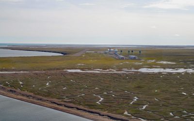
Point Lonely, Pitt Point
Lonely was originally a Cold War Distant Early Warning facility until it was dismantled in 2018 and is now an unattended airstrip situated on the coast of the Beaufort Sea at Pitt Point between Drew Point on Smith Bay to the west and Cape Halkett on Harrison Bay to the east, about 83 miles (134 km) east-southeast of Utqiaġvik and 72 miles (116 km) northwest of Nuiqsut, Alaska.
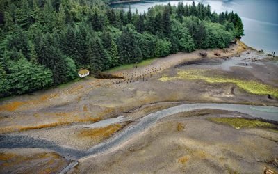
Rose Inlet Cannery, Dall Island
Rose Inlet is a sheltered embayment, and the site of a historical salmon cannery, that extends southwest for 2.5 miles (4 km) from Kaigani Strait on the east coast of Dall Island, about 116 miles (187 km) northwest of Prince Rupert and 60 miles (97 km) southwest of Ketchikan, Alaska.
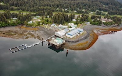
Port Graham, Kachemak Bay
Port Graham is a deglaciated fjord at the southern entrance to Kachemak Bay with an Alutiiq Sugpiaq community with the same name, on the southwestern end of the Kenai Peninsula, about 23 miles (37 km) south-southwest of Homer and 3.4 miles (5.5 km) east of Nanwalek, Alaska.
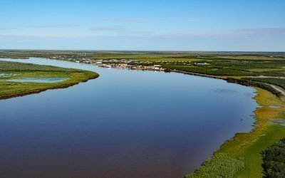
Emmonak, Yukon River Delta
Emmonak is a Yup’ik community located in the Yukon River Delta, approximately 14 miles (23 km) upstream from the Bering Sea, about 92 miles (148 km) west-southwest of Saint Michael and 20 miles (32 km) northeast of Nunam Iqua, Alaska.
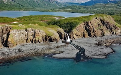
Kirschner Lake, Kamishak Bay
Kirschner Lake is located on the northern shore of Kamishak Bay and the western coast of lower Cook Inlet at an elevation of approximately 80 feet (24 m), about 110 miles (177 km) northeast of King Salmon and 86 miles (138 km) west-southwest of Homer, Alaska.
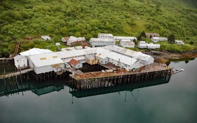
Port O’Brien, Uganik Bay
Port O’Brien is a remote salmon cannery located on the eastern shore of Northeast Arm Uganik Bay on the northwest coast of Kodiak Island, about 147 miles (236 km) south-southwest of Homer and 34 miles (55 km) west of Kodiak, Alaska.
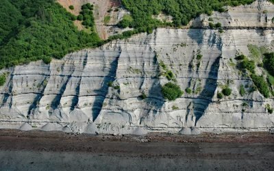
Falls Creek, Kachemak Bay
Falls Creek is located on the Kenai Peninsula, flowing generally south for 3.2 miles (5 km) to the northwestern shore of Kachemak Bay, approximately 17 miles (27 km) northeast of Homer and 2.5 miles (4 km) southwest of Kachemak Selo, Alaska.
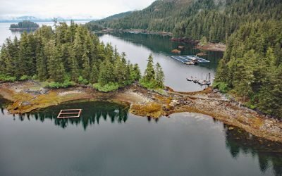
Hidden Falls Hatchery, Kasnyku Bay
The Hidden Falls Fish Hatchery is located in Tongass National Forest on the northeast coast of Baranof Island, at the head of Kasnyku Bay off Chatham Strait, about 22 miles (35 km) south-southeast of Angoon and 21 miles (34 km) northeast of Sitka, Alaska.
About the background graphic
This ‘warming stripe’ graphic is a visual representation of the change in global temperature from 1850 (top) to 2019 (bottom). Each stripe represents the average global temperature for one year. The average temperature from 1971-2000 is set as the boundary between blue and red. The colour scale goes from -0.7°C to +0.7°C. The data are from the UK Met Office HadCRUT4.6 dataset.
Click here for more information about the #warmingstripes.