
Alaska
Recent Articles
More Articles
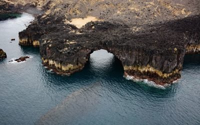
Lava Point, Akutan Island
Lava Point is a headland on the northwest coast of Akutan Island consisting of about 988 acres (400 ha) of jagged basalt extruded during eruptions of Akutan Volcano, about 26 miles (42 km) northeast of Dutch Harbor and 12 miles (19 km) west-northwest of Akutan Village, Alaska.
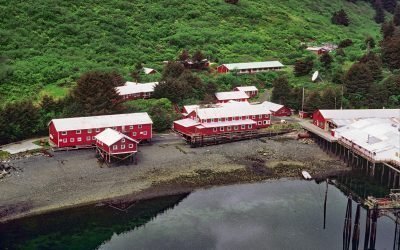
Port Bailey, Dry Spruce Bay
Port Bailey is a historical cannery in Dry Spruce Bay on the Kupreanof Peninsula of Kodiak Island, about 130 miles (209 km) south-southwest of Homer and 26 miles (42 km) west-northwest of Kodiak, Alaska.
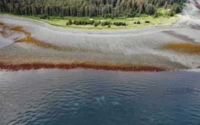
Barabara Point, Kachemak Bay
Barabara Point is on the Kenai Peninsula between McDonald Spit to the east and Seldovia Point to the west in Kachemak Bay, about 12 miles (19 km) south-southwest of Homer and 4 miles (6.5 km) northeast of Seldovia, Alaska.
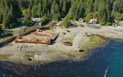
Port Althorp, Chichagof Island
Port Althorp is an embayment and the site of a historical salmon cannery on the north coast of Chichagof Island, about 155 miles (250 km) southeast of Yakutat and 29 miles (47 km) southwest of Gustavus, Alaska.
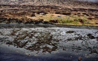
Belkofski, Alaska Peninsula
Belkofski is an abandoned Aleut Unangan village situated on the south coast of the Alaska Peninsula between Belkofski Bay to the southwest and Volcano Bay to the northeast, about 62 miles (100 km) southwest of Sand Point and 11 miles (18 km) east-northeast of King Cove, Alaska.
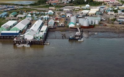
Dillingham, Nushagak Bay
Dillingham is a community on the south side of Snag Point at the confluence of the Wood and Nushagak Rivers, at the head of Nushagak Bay on the north coast of Bristol Bay, about 248 miles (400 km) west-southwest of Homer and 166 miles (270 km) southeast of Bethel, Alaska.
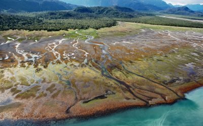
Humpy Creek, Kachemak Bay
Humpy Creek drains a watershed of 6,912 acres (2,797 ha) and flows generally northwest for about 4.5 miles (7 km) from Emerald Lake at an elevation of 1,138 feet (347 m) in the Kenai Mountains to the southeastern shore of Kachemak Bay, about 67 miles (108 km) southwest of Seward and 14 miles (22.5 km) east-northeast of Homer, Alaska.
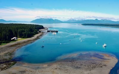
Bartlett Cove, Glacier Bay National Park and Preserve
Bartlett Cove is an estuary of the Bartlett River that extends northeast for 2 miles (3.2 km) from the eastern shore of Glacier Bay in Glacier Bay National Park and Preserve, about 155 miles (250 km) southeast of Yakutat and 6 miles (10 km) northwest of Gustavus, Alaska.
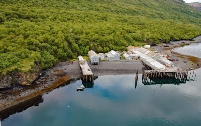
Parks Cannery, Uyak Bay
Parks Cannery is located in Uyak Bay, 24 miles (39 km) south of Shelikof Strait on the west coast of Kodiak Island, about 8 miles (13 km) south-southeast of Larsen Bay and 61 miles (100 km) southwest of Kodiak, Alaska.
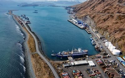
Dutch Harbor, Amaknak Island
Dutch Harbor is an anchorage and fish processing facility on the east coast of Amaknak Island, bordered by Mount Ballyhoo to the west and a gravel spit to the east that forms the natural harbor, about 33 miles (53 km) southwest of Akutan and 3 miles (5 km) north-northeast of Unalaska, Alaska.
About the background graphic
This ‘warming stripe’ graphic is a visual representation of the change in global temperature from 1850 (top) to 2019 (bottom). Each stripe represents the average global temperature for one year. The average temperature from 1971-2000 is set as the boundary between blue and red. The colour scale goes from -0.7°C to +0.7°C. The data are from the UK Met Office HadCRUT4.6 dataset.
Click here for more information about the #warmingstripes.