
Alaska
Recent Articles
More Articles
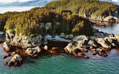
George Islands, Cross Sound
George Island, the largest of the George Islands, lies at the entrance to Port Althorp between the Inian and Althorp Peninsulas on northern Chichagof Island and on the southern coast of Cross Sound, approximately 28 miles (45 km) north-northwest of Sitka and 28 miles (45 km) southwest of Gustavus, Alaska.
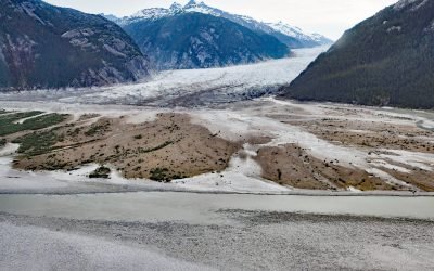
Baird Glacier, Thomas Bay
Baird Glacier starts in the Stikine Icefield in the Boundary Ranges of the Coast Mountains near the Alaska-British Columbia border, and flows generally southwest for 24 miles (39 km) to its terminus at an outwash plain 2 miles (3.2 km) north of the head of Thomas Bay, about 100 miles (162 km) southeast of Juneau and 22 miles (35 km) north-northeast of Petersburg, Alaska.
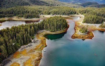
Little Tutka Bay, Kachemak Bay
Little Tutka Bay, a tidal lagoon on the south side of Kachemak Bay and the southern entrance to Tutka Bay, lies about 12 miles (19 km) south of Homer and 7 miles (11 km) east-northeast of Seldovia, Alaska.
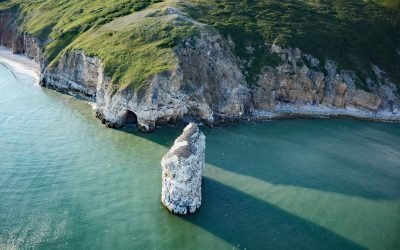
Square Rock, Norton Sound
Square Rock is a marble pillar formed by an eroding sea stack situated about 200 feet (60 m) offshore from the eastern end of Bluff Cliffs on the south coast of the Seward Peninsula in Norton Sound, about 50 miles (80 km) east of Nome and 18 miles (29 km) west of Golovin, Alaska.
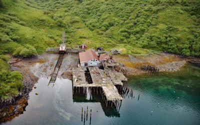
Uganik Fisheries Cannery, Northeast Arm
Uganik Fisheries is a historical salmon cannery on the north shore of Northeast Arm in Uganik Bay on the northwestern coast of Kodiak Island, about 147 miles (237 km) south-southwest of Homer and 35 miles (56 km) west of Kodiak, Alaska.
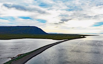
Northeast Cape, Saint Lawrence Island
Northeast Cape is a headland at the far eastern end of Saint Lawrence Island, formed by the Kinipaghulghat Mountains, between Cape Kulowye to the west and Cape Seevooka to the south, about 133 miles (214 km) southwest of Nome and 96 miles (155 km) east-southeast of Gambell, Alaska.
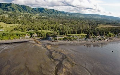
Fritz Creek, Kachemak Bay
Fritz Creek is a stream on the Kenai Peninsula that starts from a watershed divide between Lookout Mountain to the south and Bald Mountain to the north and flows generally south for 7 miles (11 km) to the north shore of Kachemak Bay, about 17 miles (27 km) southeast of Anchor Point and 6 miles (10 km) northeast of Homer, Alaska.
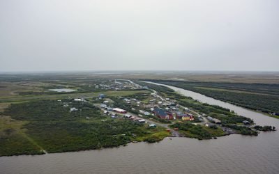
Napakiak, Kuskokwim River
Napakiak is a village located on an island situated between the Kuskokwim River to the south and Johnson Slough to the north, about 167 miles (269 km) southeast of Emmonak and 10 miles (16 km) southwest of Bethel, Alaska.
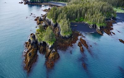
Yalik Point, Nuka Bay
Yalik Point is the site of a historical Alutiiq village in Nuka Bay on the outer coast of the Kenai Peninsula, in present-day Kenai Fjords National Park, about 61 miles (98 km) southwest of Seward and 47 miles (76 km) east of Nanwalek, Alaska.
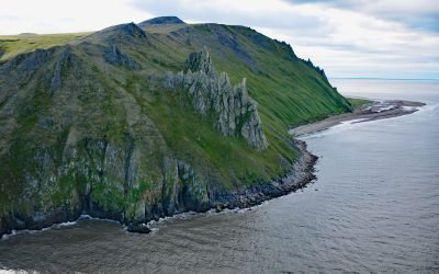
Cape Romanzof, Yukon-Kuskokwim Delta
Cape Romanzof is a massive headland at the western end of the Askinuk Mountains on the Bering Sea coast of Southwest Alaska in the Yukon-Kuskokwim Delta between Kokechik and Scammon Bays, about 161 miles (259 km) northwest of Bethel and 20 miles (32 km) north of Hooper Bay, Alaska.
About the background graphic
This ‘warming stripe’ graphic is a visual representation of the change in global temperature from 1850 (top) to 2019 (bottom). Each stripe represents the average global temperature for one year. The average temperature from 1971-2000 is set as the boundary between blue and red. The colour scale goes from -0.7°C to +0.7°C. The data are from the UK Met Office HadCRUT4.6 dataset.
Click here for more information about the #warmingstripes.