
Alaska
Recent Articles
More Articles
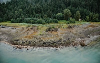
Taku Cannery, Taku Harbor
Taku Harbor is a historical community and the site of an abandoned cannery in a small embayment on the eastern shore of Stephens Passage near Taku Inlet, about 86 miles (138 km) northeast of Sitka and 22 miles (35 km) southeast of Juneau, Alaska. Read more here: https://coastview.org/2024/08/28/taku-cannery-taku-harbor/
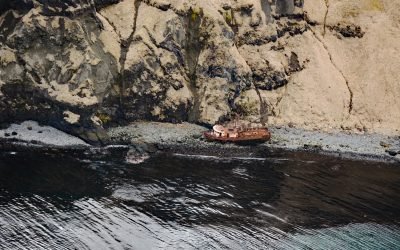
FV Lisa Jo, Akun Bay
FV Lisa Jo is a shipwreck at the entrance to Akun Bay on the western coast of Akun Island between Round Head to the south and Billings Head to the north, about 94 miles (151 km) southwest of False Pass and 13 miles (21 km) northeast of the village of Akutan, Alaska.
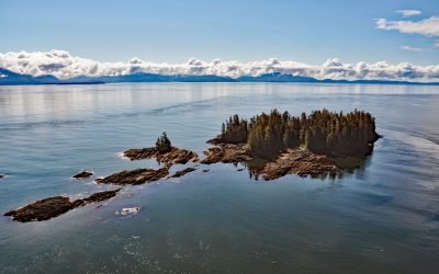
Beauclerc Island, Sumner Strait
Beauclerc Island is in Sumner Strait, at the entrance to Port Beauclerc on Kuiu Island, in the Alexander Archipelago of Southeast Alaska, about 80 miles (129 km) southeast of Sitka and 11 miles (18 km) southwest of Point Baker, Alaska.
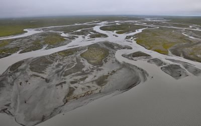
Jago River, Arctic National Wildlife Refuge
Jago River starts at an unnamed glacier on the continental divide of the Romanzof Mountains in the Brooks Range and flows north for about 90 miles (145 km) through the Arctic National Wildlife Refuge to Jago Lagoon, about 88 miles (142 km) east-northeast of Deadhorse and 7 miles (11 km) east-southeast of Kaktovik, Alaska.
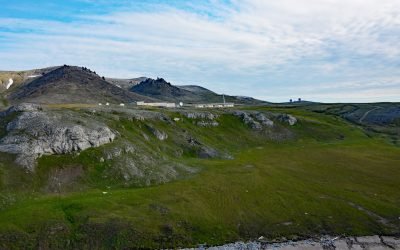
Tin City, Cape Mountain
Tin City is a historical mining community on Cape Prince of Wales, located at the mouth of Cape Creek and adjacent to Cape Mountain on the Seward Peninsula, about 103 miles (166 km) northwest of Nome and 6 miles (10 km) southeast of Wales, Alaska.
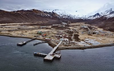
False Pass, Isanotski Strait
False Pass is a small community on the east coast of Unimak Island, at the northern end of Isanotski Strait, about 142 miles (229 km) northeast of Dutch Harbor and 38 miles (61 km) southwest of Cold Bay, Alaska.
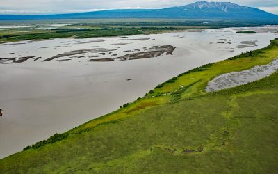
Mount Susitna, Susitna River Flats
Mount Susitna is a prominent mountain and landmark in northern Cook Inlet, with an elevation of 4,396 feet (1,340 m) rising from the Susitna Flats on the west bank of the Susitna River, about 65 miles (105 km) north-northeast of Kenai and 33 miles (53 km) northwest of Anchorage, Alaska.
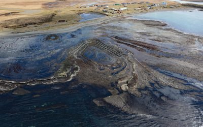
Mueller Cove, Umnak Island
Mueller Cove provides a protected landing for the village of Nikolski at the head of Nikolski Bay, on the northern shore and at the southwestern end of Umnak Island in the eastern Aleutian Islands, about 338 miles (544 km) east-northeast of Adak and 116 miles (187 km) southwest of Dutch Harbor, Alaska.
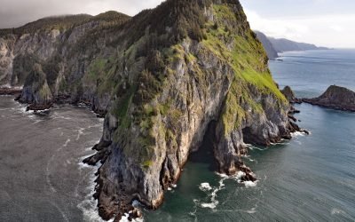
Helm Point, Coronation Island
Helm Point is a prominent headland at the southern tip of Coronation Island in the Alexander Archipelago of Southeast Alaska, between Chatham and Sumner Straits, about 94 miles (151 km) south-southeast of Sitka and 86 miles (138 km) southwest of Wrangell, Alaska.
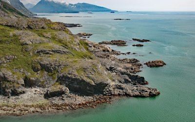
SS Farallon, Black Reef
Black Reef is on the west shore of Cook Inlet about 0.5 miles (0.8 km) offshore between North Head and Knoll Head on a peninsula between Iliamna Bay and Iniskin Bay, and the site of the SS Farallon shipwreck, about 130 miles (209 km) northeast of King Salmon and 71 miles (114 km) west of Homer, Alaska.km) west of Homer, Alaska.
About the background graphic
This ‘warming stripe’ graphic is a visual representation of the change in global temperature from 1850 (top) to 2019 (bottom). Each stripe represents the average global temperature for one year. The average temperature from 1971-2000 is set as the boundary between blue and red. The colour scale goes from -0.7°C to +0.7°C. The data are from the UK Met Office HadCRUT4.6 dataset.
Click here for more information about the #warmingstripes.