
Alaska
Recent Articles
More Articles
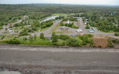
Tyonek, Cook Inlet
Tyonek is a historical Dena’ina Athabascan community situated on a bluff on the northwest shore of Cook Inlet, about 43 miles (69 km) west-southwest of Anchorage and 35 miles (56 km) north of Kenai, Alaska.
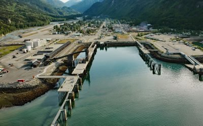
Skagway, Taiya Inlet
Skagway is a community at the mouth of the Skagway River, near the head of Taiya Inlet, about 90 miles (145 km) northwest of Juneau and 16 miles (26 km) north-northeast of Haines, Alaska.
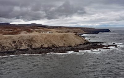
Cape Sarichef, Unimak Island
Cape Sarichef is at the southwestern end of Unimak Island, at the northwestern entrance to Unimak Pass on the Bering Sea coast, and on the northwest flank of Pogromni Volcano, about 80 miles (129 km) northeast of Dutch Harbor and 63 miles (101 km) west-southwest of False Pass, Alaska.
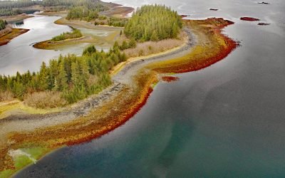
Stockdale Harbor, Montague Island
Stockdale Harbor is on the northwest coast of Montague Island in Prince William Sound, about 62 miles (100 km) southeast of Whittier and 54 miles (87 km) southwest of Cordova, Alaska.
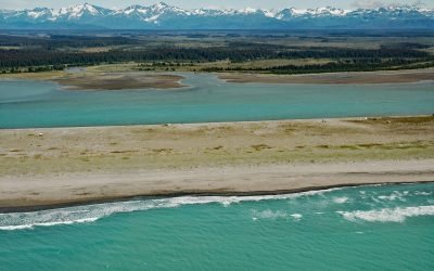
Situk River, Johnson Slough
Situk River starts at Situk Lake and flows southwest for about 18 miles (29 km) through the Yakutat Forelands in Tongass National Forest to Johnson Slough on the Gulf of Alaska, about 200 miles (322 km) northwest of Juneau and 9 miles (15 km) southeast of Yakutat, Alaska.
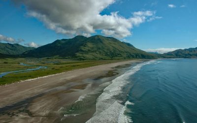
Ocean Bay, Sitkalidak Island
Ocean Bay is on the southeast shore of Sitkalidak Island in the Kodiak Archipelago, about 56 miles (90 km) southwest of Kodiak and 9 miles (15 km) southeast of the village of Old Harbor, Alaska.
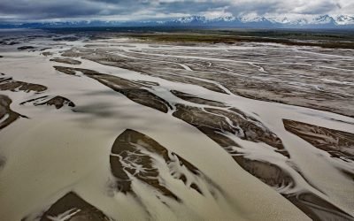
Copper River, Copper River Delta
The Copper River watershed drains about 24,000 square miles (62,000 sq km) in the Wrangell, Chugach, and Saint Elias Mountains and the mainstem flows for about 290 miles (470 km) to the Gulf of Alaska where it creates a wide delta, about 195 miles west-northwest of Yakutat and 30 miles southeast of Cordova, Alaska.
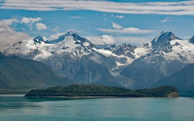
Cenotaph Island, Lituya Bay
Cenotaph Island is approximately in the middle of Lituya Bay, a fjord formed primarily by the Crillon and Lituya glaciers in Glacier Bay National Park and Preserve, about 117 miles (189 km) west-northwest of Juneau and 97 miles (156 km) southeast of Yakutat, Alaska.
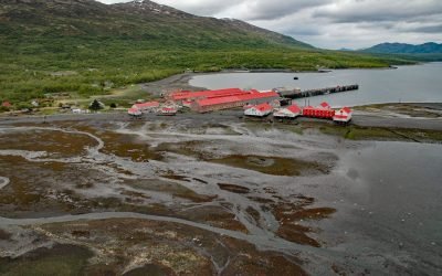
Larsen Bay Cannery, Kodiak Island
Larsen Bay is a small village and historical salmon cannery on Larsen Bay, an embayment that extends 6 miles (9.6 km) off of Uyak Bay on the west coast of Kodiak Island, about 125 miles (202 km) southeast of King Salmon and 58 miles (94 km) west-southwest of Kodiak, Alaska.
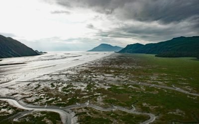
Tuxedni Bay, Cook Inlet
Tuxedni Bay is an estuary that extends southeast for 14 miles (23 km) from the mouth of Tuxedni River to Cook Inlet, at Chisik Island, about 59 miles (95 km) northwest of Homer and 57 miles (92 km) southwest of Kenai, Alaska.
About the background graphic
This ‘warming stripe’ graphic is a visual representation of the change in global temperature from 1850 (top) to 2019 (bottom). Each stripe represents the average global temperature for one year. The average temperature from 1971-2000 is set as the boundary between blue and red. The colour scale goes from -0.7°C to +0.7°C. The data are from the UK Met Office HadCRUT4.6 dataset.
Click here for more information about the #warmingstripes.