
Alaska
Recent Articles
More Articles
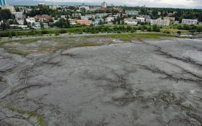
Bootleggers Cove, Anchorage
Bootleggers Cove is a coastal neighborhood located along the tidal flats of Cook Inlet between Westchester Lagoon and downtown Anchorage, Alaska.
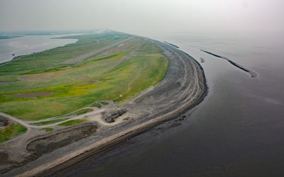
Shaktoolik, Norton Sound
Shaktoolik is a small community now located on a spit forming Shaktoolik Bay, on the eastern shore of Norton Sound, about 56 miles (90 km) southeast of Golovin and 35 miles (56 km) north-northwest of Unalakleet, Alaska.
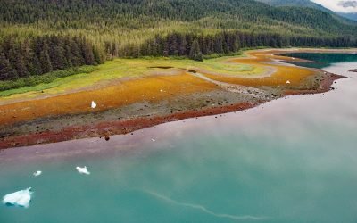
Tracy Arm, Tracy Arm-Fords Terror Wilderness
Tracy Arm is a fjord in the Coast Mountains of Southeast Alaska about 85 miles (137 km) northeast of Sitka and 42 miles (67.7 km) southeast of Juneau, Alaska.
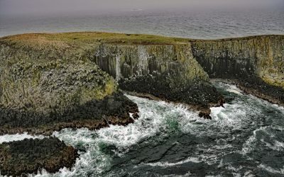
Sandman Reefs, Aleutian Islands
Sandman Reefs are a group of islets, reefs, and wave-washed rocks between the Pavlof Islands and Deer Island in the north, and extending south almost to the Sanak Islands, about 78 miles (126 km) southwest of Sand Point and 24 miles (39 km) south of King Cove, Alaska.
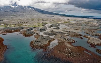
Burr Point, Augustine Volcano
Burr Point is a headland on Augustine Volcano in Cook Inlet, about 108 miles (174 km) north-northwest of Kodiak and 69 miles (111 km) southwest of Homer, Alaska.
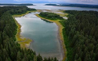
Berg Bay, Glacier Bay National Park and Preserve
Berg Bay is in Glacier Bay National Park and Preserve, and extends west for 4 miles (6.5 km) off Sitakaday Narrows near the mouth of Glacier Bay, about 38 miles (61 km) northwest of Hoonah, and 18 miles (29 km) northwest of Gustavus, Alaska.
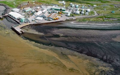
Ekuk Fisheries, Nushagak Bay
Ekuk is a small village located on Ekuk Spit on the eastern shore of Nushagak Bay, a branch of Bristol Bay, about 16 miles (26 km) south-southwest of Dillingham and 1.3 (2.1 km) miles southwest of Clarks Point, Alaska.
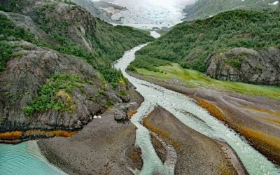
Falling Glacier, Kings Bay
Falling Glacier starts at the northwest end of the Sargent Icefield in the Chugach Mountains and flows northwest for 3 miles (4.8 km) to the eastern shore of Kings Bay, about 39 miles (63 km) northeast of Seward and 20 miles (32 km) south-southeast of Whittier, Alaska.

Point MacKenzie, Knik Arm
Point MacKenzie is on the northern shore of Cook Inlet, at the entrance to Knik Arm, about 15 miles (24 km) southwest of Eagle River and 3.2 miles (5 km) northwest of downtown Anchorage, Alaska.
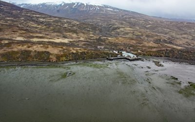
Chignik Fisheries, Chignik Lagoon
Chignik Fisheries is a facility, formerly owned and operated as a cannery by Wards Cove Packing Company, located on the northwest shore of Chignik Lagoon, southwest of Dago Point, about 44 miles (71 km) south of Port Heiden and 36 miles (58 km) northeast of Perryville, Alaska.
About the background graphic
This ‘warming stripe’ graphic is a visual representation of the change in global temperature from 1850 (top) to 2019 (bottom). Each stripe represents the average global temperature for one year. The average temperature from 1971-2000 is set as the boundary between blue and red. The colour scale goes from -0.7°C to +0.7°C. The data are from the UK Met Office HadCRUT4.6 dataset.
Click here for more information about the #warmingstripes.